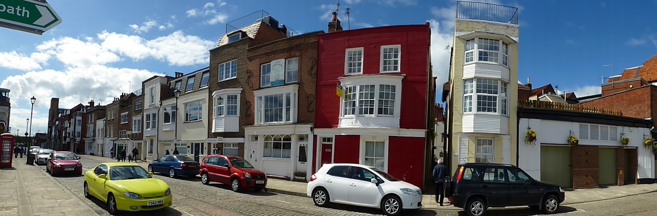
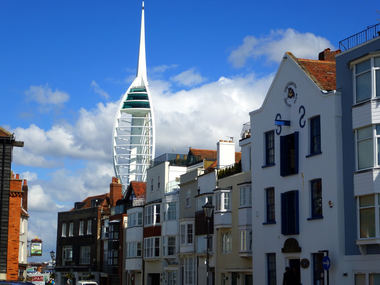
In the early Nineteenth Century, building spread outside of the city’s defensive walls with their moats and vast ravelins. Facing the battlements to the west, running north to south, several terraces were established, beginning around 1809. Southsea meets Portsmouth here and the space offered must have been very appealing compared to the cramped conditions of Old Portsmouth and Portsea. From the north, the terraces are named Hampshire, Landport, King’s, Jubilee and Bellevue. Much of the area was bombed in WWII and since modified, but many of the early C19 houses survive, with the characteristic maritime bay windows seen in Old Portsmouth. Behind the terraces, small streets were established by skilled tradesmen: the ‘mineral streets’ of Croxton Town – but were all bombed. Just further east are Great Southsea Street and Castle Street, with many plain but stylish town houses, my favourite designs, and a couple of older villas, along with early 1900s pubs and antique shops. Southsea Lodge was built in the C18, before there really was a Southsea, and before it was a resort, in what must have been a fairly rural area. To the north are a couple of other pockets of C19 houses, in King Street and Gloucester View and Mews. Gloucester View is a well kept secret, a superb terrace of identical houses in a cul-de-sac. Gloucester Mews in Norfolk Street hints at Owen’s Southsea to come. Park Lodge may have been built by T. E. Owen’s father. Further west towards the old city are the former Clarence Barracks, now Portsmouth Museum, a quite spectacular affair built for officers, and the Victorian lower school of the grammar school.
Here I present the listed buildings of west Southsea, and Portsmouth east of the wall:
How King’s Terrace once looked:

51.036918
-1.105170
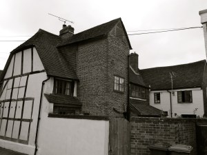
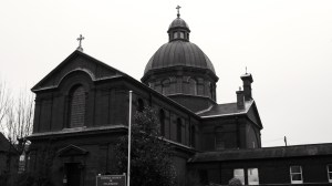
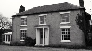
 Hilsea Portsmouth 1780 & 1887")


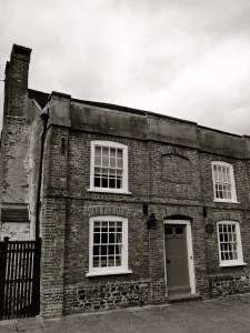
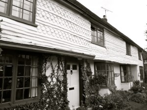
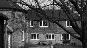
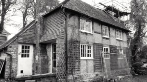
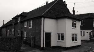
 Hilsea Portsmouth C16-19")
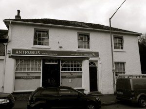
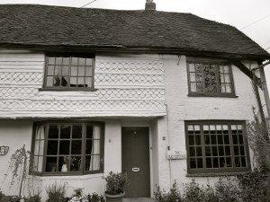
 Hilsea Portsmouth C16-19")

 Milton Portsmouth 1878")


 247 Fratton Rd Portsmouth 1899-1907")
 (South) 247 Fratton Rd Portsmouth 1899-1907")
")
 Fratton Portsmouth 1889")


 Portsmouth 1911")


 Milton Portsmouth 1845")
 Milton Portsmouth 1845")

 Milton Portsmouth 1915")
 Milton Portsmouth 1915")


 Portsmouth 1900")

 Portsmouth 1916")


 1717")


 1790, 1875, 1937")


 1790, 1875, 1937")
 1790, 1875, 1937")
 1790, 1875, 1937")


 Portsmouth University 1908")


 Portsmouth 1889")


 Guildhall Walk Portsmouth 1897")

 Guildhall Walk Portsmouth 1920")


 1890")
 1890")
 Guildhall Walk Portsmouth C19")


 Portsmouth 1901")

 Portsmouth C19")

")
 Portsmouth 1881")

 Portsmouth 1881")


 Eastney Barracks 1870")
 Eastney Barracks 1870")
 Eastney Barracks 1866")


 Gunners Row Eastney 1865")
 Eastney 1865")

 Eastney 1865")


, Long Barracks Eastney 1865")
 Eastney 1865")


 Eastney 1865")
 Portsmouth 1862")

 Portsmouth 1862")
 1887")
 1887")

 Eastney 1887")

 Portsmouth Pumping Station 1865")


 Southsea 1906")
 Southsea 1906")
 Southsea 1906")


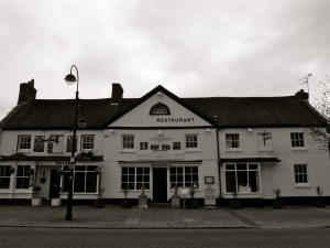
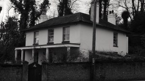
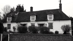
 Droxford C17")

 Droxford C18")


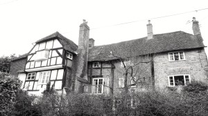
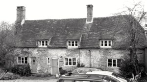
 Droxford C16-18")


 Droxford 1848")
 Droxford 1848")


 Droxford C14-18")
 Droxford C14-18")
 Droxford C17-19")


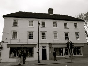
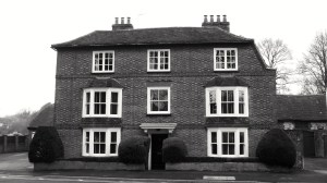
 Portsmouth 1754")


 Portsmouth 1784, 1836")

 Queens St Portsmouth C19")
 84 and 85 Queens St Portsmouth C19")


 Bishop St Portsmouth 1850")


 Queens St Portsmouth C19")


 Bishop St Portsmouth 1850")


 Portsmouth 1846")
 Portsmouth University c1800")


 Gunwharf Portsmouth 1814")
 Gunwharf Portsmouth 1814")
 Gunwharf Portsmouth 1814")
 Gunwharf Portsmouth 1814")
 Gunwharf Portsmouth 1814")
 Gunwharf Portsmouth 1814")
 Gunwharf Portsmouth 1814")

 Gunwharf Portsmouth C18")


 Southsea 1860")

 Southsea 1860")
")

 (North) Villiers Rd Southsea 1853 (Owen)")
 Villiers Rd Southsea 1853 (Owen)")
")
")

 Villiers Rd Southsea 1854")


")


")
")
")
 Marmion Rd Southsea 1851")

")
 Queens Crescent Southsea 1847 (Owen)")
")
")
")

")
")
 Grove Rd South Southsea 1945 (Owen)")

")
 Grove Rd South Southsea 1851")
 Grove Rd South Southsea 1913")
")
")
 Grove Rd South Southsea 1850 (Owen)")
")
")
")
 Southsea 1851 (Owen)")
")
")
")
")
 Portland Terrace Southsea 1849")
")
 Southsea 1849 (Owen)")
 Southsea 1849 (Owen)")
 Southsea 1849 (Owen)")

")
 Queens Crescent Southsea 1895")

")
")
")
")
 Queens Crescent Southsea 1844 (Owen)")
")
")

")
")
 Kent Rd Southsea 1843 (Owen)")
")
 Kent Rd Southsea 1843 (Owen)")
")
")
")
")
")
")
")
")

")


 King St Southsea 1845")


 Landport Terrace Southsea C19")

 Landport Terrace Southsea C19")


 Portsmouth 1893")
 Portsmouth 1893")
 Portsmouth 1893")
 Portsmouth 1893")
 Portsmouth 1893")
 Portsmouth 1893")


 C12-20")
 C12-20")
 C12-20")


 Portsmouth c1212")


 Portsmouth c1212")


 (Rear) C19")


 High St Portsmouth C18")
 and 13 High St Portsmouth C18")
 High St Portsmouth C16-18")
 (Cambridge Barracks) c1855")
 (Cambridge Barracks) c1855")
 c1855")


 Lombard St Portsmouth C18")
 Lombard St Portsmouth C18")
 Lombard St Portsmouth C18")
 St Thomas St Portsmouth C17-18")

 Lombard St Portsmouth C17-18")
 St Thomas St Portsmouth C17-18")

 St Thomas St Portsmouth C18-19")
 St Thomas St Portsmouth C18")


 St Thomas St Portsmouth C18")


 and 62 St Thomas St Portsmouth C18")
 (Popinjays Warehouse) C16-18")
 C16-18")
 Portsmouth C15-19")


 Portsmouth C15-19")


 Broad St Portsmouth C18")


 Broad St Portsmouth C18")


 Portsmouth C19")
 Portsmouth C19")
 Portsmouth C19")
 Portsmouth C19")
 Portsmouth C19")

 Portsmouth 1754")
 Portsmouth 1754")


 Portsmouth 1806")
 Portsmouth C18")


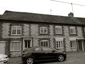
 Broad St Alresford C18")
 Broad St Alresford C18")
 (North) Broad St Alresford C19")


 Broad St Alresford C18")
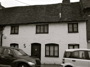
 Broad St Alresford C18-19")


 Broad St Alresford C19")
 Broad St Alresford C19")
 Broad St Alresford C18-19")


 Broad St Alresford C18-19")


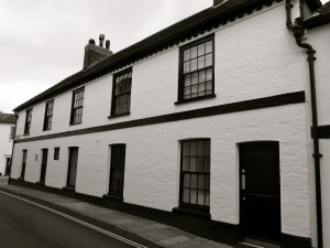
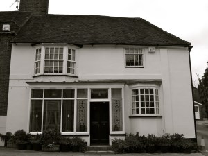
 Alresford C17")
 Alresford C17")
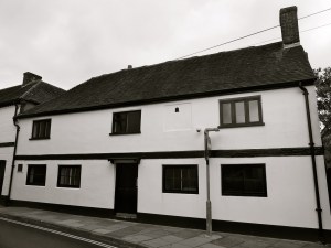
 Alresford 1840")


 C18-20")


")

")


")

")

")


")

")


 East St Alresford C19")


")

")


 The Spain Petersfield C19")


 The Spain Petersfield C16-18")


 College St Petersfield C19")