Yesterday’s shock hanging over me, Saturday was another day of excursions, driving for the school. Before setting off there were many well-wishes, “I heard about the news yesterday”, and “Did you sleep okay?”. I don’t know if it was the novelty or what but a lot of the students wanted to travel in my minibus. Perhaps because I didn’t say no to music being played. My only rule was “don’t have it so loud your crappy dock speakers distort” as they are fond of doing to foist their tracks as much as possible. So to a soundtrack of some kind of hispanic trance pop, pop and dance we headed towards Andover and Tree Runners It was easy to find, just off the A303, down a bumpy track into the woods.
I hadn’t expected to be able to join in due to numbers, but after chatting to one of the staff I asked if Petter and I could join in. No worries. We were fitted into our harnesses and then taught the clipping in system at ground level. The owner wanted me as a hand model and took close-ups of their system. Having been to a Go Ape before, it seems they have gone one step further with a clutch mechanism that ensures one clip is on the safety wire all of the time. It’s an easy system and reassuring. Just as well when you are meters up in the trees.
The courses are graded like a ski resort, easy to hard: green, blue, red and black. I never made it past the blue stage myself, but that was fear aplenty after yesterday. Good fear though, testing one’s mettle, yet entirely safe (although Petter did end up with some kind of heat graze). Everyone really enjoyed it, it seemed, and the students were having a great time on the red and black course. For me the zip wires were the best, way longer than at Alice Holt Go Ape, speeding deep into the forest to land on a padded platform. There’s some novelty sections too, like a snowboard and a bicycle. Perhaps the most scary is the leap of faith at the end of each run, where you step off the platform trusting the friction mechanism to lower you safely.
We ate lunch in the woods then went to Andover to kill time before our group booking at Stonehenge. I didn’t see more than the Lidl car park, not fancying a Saturday town centre. Some other students didn’t go far, preferring to get high on ice lollies.
Now to the unexpected quality of Gang Starr, we headed to Stonehenge not too far away. I’d been a few years before with my girlfriend’s brothers so knew what to expect of it these days. In the early 2000s I went to one of the summer solstice’s where you can go amongst the stones (and the thousands of people). Although back then it wasn’t such a popular and festival-like thing to do. When I was young, still in the 1970s, one could always walk up to the stones, but with more than a million visitors a year this is no longer possible. On the solstices they have to open it up as to try to keep people out got too violent.
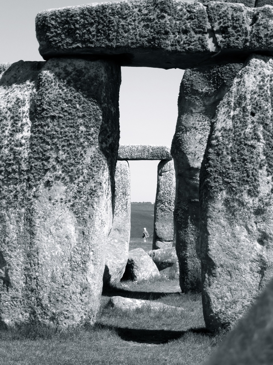
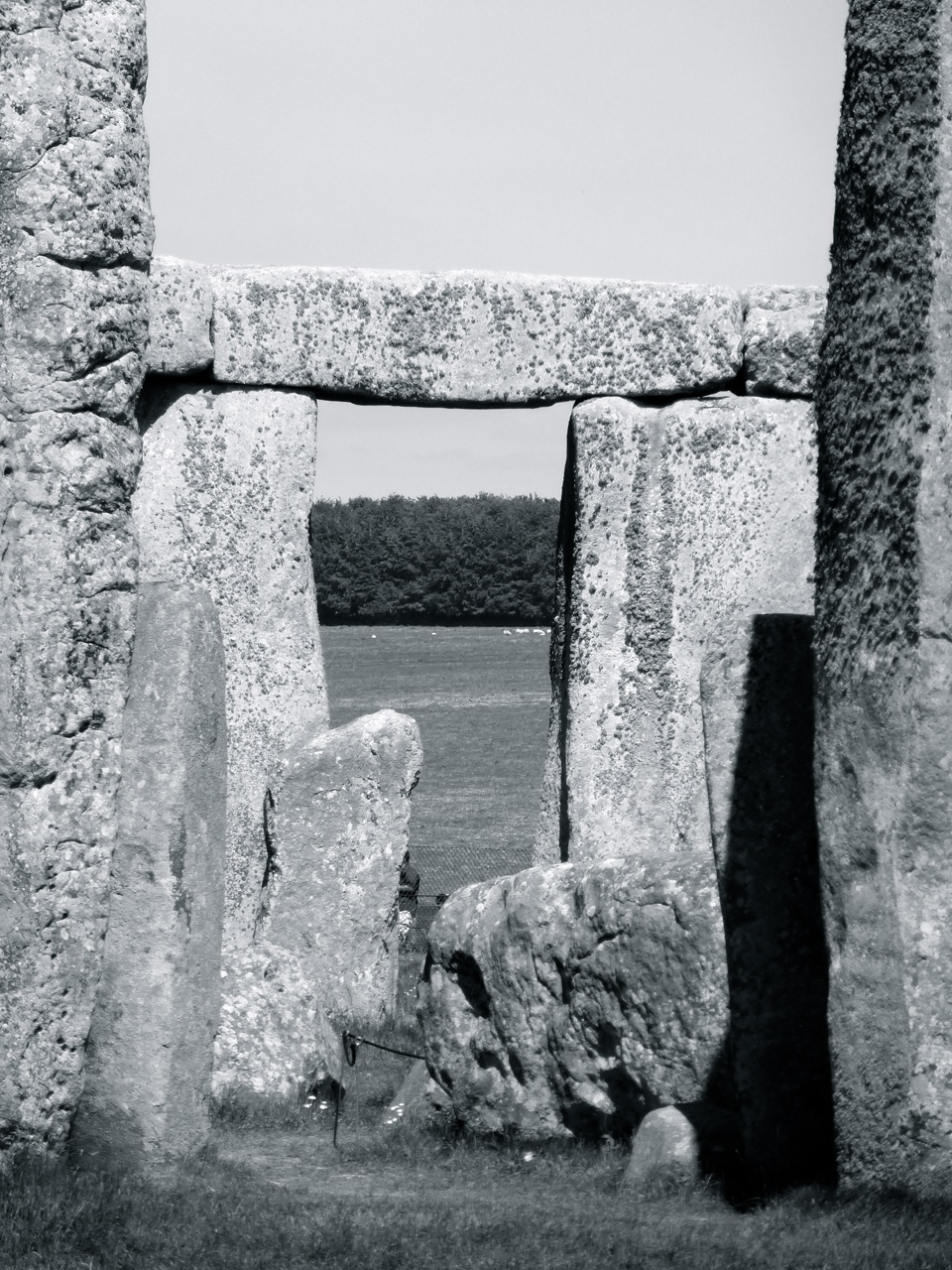
Thing is with stonehenge, there’s not much to see if you don’t look and wonder, and if you are not careful it’s over in minutes. We had two hours before due to meet back at the vans. I wondered slowly around, taking some photos, struck at the openness of the site, marvelling at the fact the stones came from 150 miles away, appreciating the Lego-style blobs on the tops of the standing stone to fit into hollows of those on top. We also took some obligatory group photos. I’m on the left doing something or other:

Then while most of the group played around at making human henges and such, I sat down to while the time away, in the bright sunshine and stiff breeze. I was drawn to sit on a bench where a well-dressed lady was writing and observing the scene quite intently. Her attention was caught by our cheerful group, by this stage jumping into rows of arms. I said “I’m with them” and we got to talking about the school, a bit about Krishnamurti, and then about what she was doing there. Earlier we had passed a man doing very detailed drawings of the stones, in a kind of silver pencil. Very impressive work. It turns out the artist is her husband, Mark Anstee, and they’ve been coming to stonehenge for a project lasting for a year. He’s a well known artist and she works in television production I think she said, and also writes. Here’s their web site.
Gabi and I spent over half an hour talking and it was very pleasant and interesting, and relaxingly down-to-earth after yesterday. We talked about how stonehenge was, how it will be with the new visitor centre and side road closed, about who comes to visit and their habits, about their work, and about a man (or was it a woman?) I’d seen earlier in a robe and band of flowers around their long hair. I thought it was a man, some students thought it was a woman. Gabi told me s/he is transgender and designed the country’s air traffic control system(!) and is a leading scientist. On weekends s/he likes to come to stonehenge and is some kind of shaman.
This is exactly what I saw Mark working on on Saturday:

I just looked up their blog and Gabi wrote this about our group:
“A large education group of young people arrive on the grass and have the idea of recreating Stonehenge using bodies. They organise themselves into threes and attempt to build trilithons with two people holding someone planking above their heads with mixed results. They swiftly abandon this plan and go for another picture opportunity with five boys lining up with their arms outstretched while another takes an almighty run-up, and with an impressive leap, twists and lands accurately on the platform of arms. These guys are having the best time here.”
I like it when two blogs meet.
After quite some time I was cold and most of the group had completed the circular tour, so I moved on. There’s a ridiculously small visitor centre (=gift shop). I hope the new one is several hundred times better and suits this unique site. I wonder how the plump tourists will travel the mile from the new one to the stones.
Then it was time for a more mellow musical drive back to Brockwood and home for a quiet evening. I was in bed before 2030 and asleep before sunset.
Here’s some photos I took of the stones:


51.036918
-1.105170
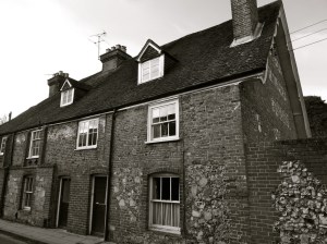
 Hilsea Portsmouth 1780 & 1887")


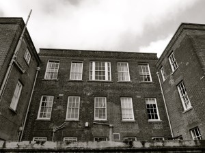
 Hilsea Portsmouth C16-19")
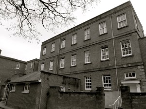
 Hilsea Portsmouth C16-19")

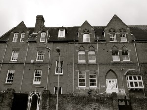
 Milton Portsmouth 1878")


 247 Fratton Rd Portsmouth 1899-1907")
 (South) 247 Fratton Rd Portsmouth 1899-1907")
")
 Fratton Portsmouth 1889")


 Portsmouth 1911")


 Milton Portsmouth 1845")
 Milton Portsmouth 1845")

 Milton Portsmouth 1915")
 Milton Portsmouth 1915")


 Portsmouth 1900")

 Portsmouth 1916")


 1717")


 1790, 1875, 1937")


 1790, 1875, 1937")
 1790, 1875, 1937")
 1790, 1875, 1937")


 Portsmouth University 1908")


 Portsmouth 1889")


 Guildhall Walk Portsmouth 1897")

 Guildhall Walk Portsmouth 1920")


 1890")
 1890")
 Guildhall Walk Portsmouth C19")


 Portsmouth 1901")

 Portsmouth C19")

")
 Portsmouth 1881")

 Portsmouth 1881")


 Eastney Barracks 1870")
 Eastney Barracks 1870")
 Eastney Barracks 1866")


 Gunners Row Eastney 1865")
 Eastney 1865")

 Eastney 1865")


, Long Barracks Eastney 1865")
 Eastney 1865")


 Eastney 1865")
 Portsmouth 1862")

 Portsmouth 1862")
 1887")
 1887")

 Eastney 1887")

 Portsmouth Pumping Station 1865")


 Southsea 1906")
 Southsea 1906")
 Southsea 1906")


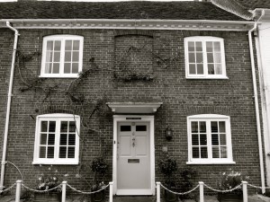
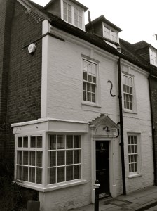
 Droxford C17")

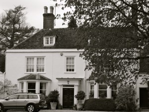
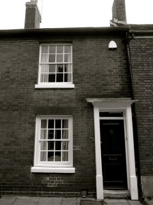
 Droxford C18")


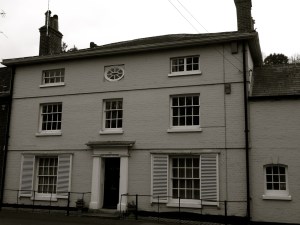
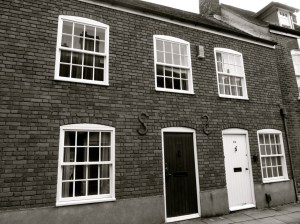
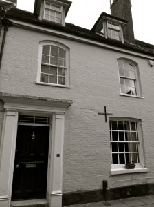
 Droxford C16-18")


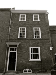
 Droxford 1848")
 Droxford 1848")


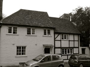
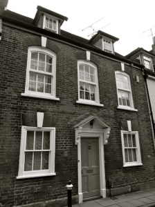
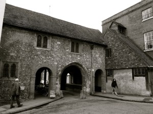
 Droxford C14-18")
 Droxford C14-18")
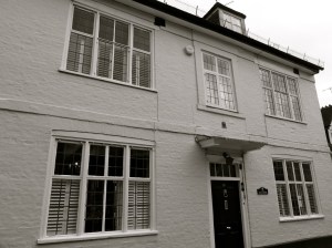
 Droxford C17-19")


 Portsmouth 1754")


 Portsmouth 1784, 1836")

 Queens St Portsmouth C19")
 84 and 85 Queens St Portsmouth C19")


 Bishop St Portsmouth 1850")


 Queens St Portsmouth C19")


 Bishop St Portsmouth 1850")


 Portsmouth 1846")
 Portsmouth University c1800")


 Gunwharf Portsmouth 1814")
 Gunwharf Portsmouth 1814")
 Gunwharf Portsmouth 1814")
 Gunwharf Portsmouth 1814")
 Gunwharf Portsmouth 1814")
 Gunwharf Portsmouth 1814")
 Gunwharf Portsmouth 1814")

 Gunwharf Portsmouth C18")


 1544")


 Southsea 1864")
 Southsea 1864")

 Southsea 1864")


 Southsea c1830-40 TE Owen")


 Southsea 1901")

 Southsea C19")


 Southsea 1907")
 Southsea 1907")
 Southsea 1907")

 Southsea c1900")
 Southsea c1900")
 Southsea 1928")
 Southsea 1882")
 Southsea 1882")

 Southsea 1910")

 Southsea 1902-24")


 Southsea 1860")

 Southsea 1860")
")

 (North) Villiers Rd Southsea 1853 (Owen)")
 Villiers Rd Southsea 1853 (Owen)")
")
")

 Villiers Rd Southsea 1854")


")


")
")
")
 Marmion Rd Southsea 1851")

")
 Queens Crescent Southsea 1847 (Owen)")
")
")
")

")
")
 Grove Rd South Southsea 1945 (Owen)")

")
 Grove Rd South Southsea 1851")
 Grove Rd South Southsea 1913")
")
")
 Grove Rd South Southsea 1850 (Owen)")
")
")
")
 Southsea 1851 (Owen)")
")
")
")
")
 Portland Terrace Southsea 1849")
")
 Southsea 1849 (Owen)")
 Southsea 1849 (Owen)")
 Southsea 1849 (Owen)")

")
 Queens Crescent Southsea 1895")

")
")
")
")
 Queens Crescent Southsea 1844 (Owen)")
")
")

")
")
 Kent Rd Southsea 1843 (Owen)")
")
 Kent Rd Southsea 1843 (Owen)")
")
")
")
")
")
")
")
")

")


 King St Southsea 1845")


 Landport Terrace Southsea C19")

 Landport Terrace Southsea C19")


 Portsmouth 1893")
 Portsmouth 1893")
 Portsmouth 1893")
 Portsmouth 1893")
 Portsmouth 1893")
 Portsmouth 1893")


 C12-20")
 C12-20")
 C12-20")


 Portsmouth c1212")


 Portsmouth c1212")


 (Rear) C19")


 High St Portsmouth C18")
 and 13 High St Portsmouth C18")
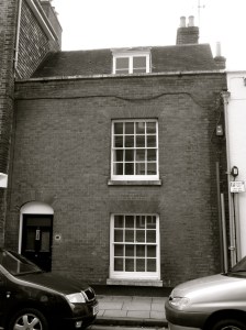
 High St Portsmouth C16-18")
 (Cambridge Barracks) c1855")
 (Cambridge Barracks) c1855")
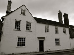
 c1855")


 Lombard St Portsmouth C18")
 Lombard St Portsmouth C18")
 Lombard St Portsmouth C18")
 St Thomas St Portsmouth C17-18")

 Lombard St Portsmouth C17-18")
 St Thomas St Portsmouth C17-18")

 St Thomas St Portsmouth C18-19")
 St Thomas St Portsmouth C18")


 St Thomas St Portsmouth C18")


 and 62 St Thomas St Portsmouth C18")
 (Popinjays Warehouse) C16-18")
 C16-18")
 Portsmouth C15-19")


 Portsmouth C15-19")


 Broad St Portsmouth C18")


 Broad St Portsmouth C18")


 Portsmouth C19")
 Portsmouth C19")
 Portsmouth C19")
 Portsmouth C19")
 Portsmouth C19")

 Portsmouth 1754")
 Portsmouth 1754")


 Portsmouth 1806")
 Portsmouth C18")


 C12")