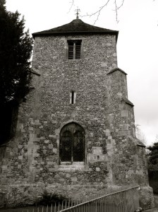
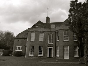
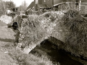
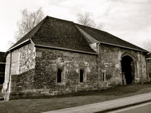
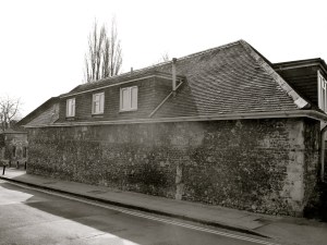
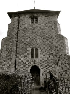
Droxford is a Hampshire village situated in the Meon Valley. It has the busy A32 running through the middle of it, with the river Meon just to the East along with the former Meon Valley Railway. Most of the old buildings are right on the main road, with some set back on Mill Lane and near the church. In the village you will find listed cottages and houses from the C15 to the C19, although mainly Georgian. Larger houses are the Manor House (II*), Fir Hill, West House and The Old Rectory (II*). Next to the river is the church, of Norman origin. Out of the village are some listed farmhouses, barns and their C18 granaries.
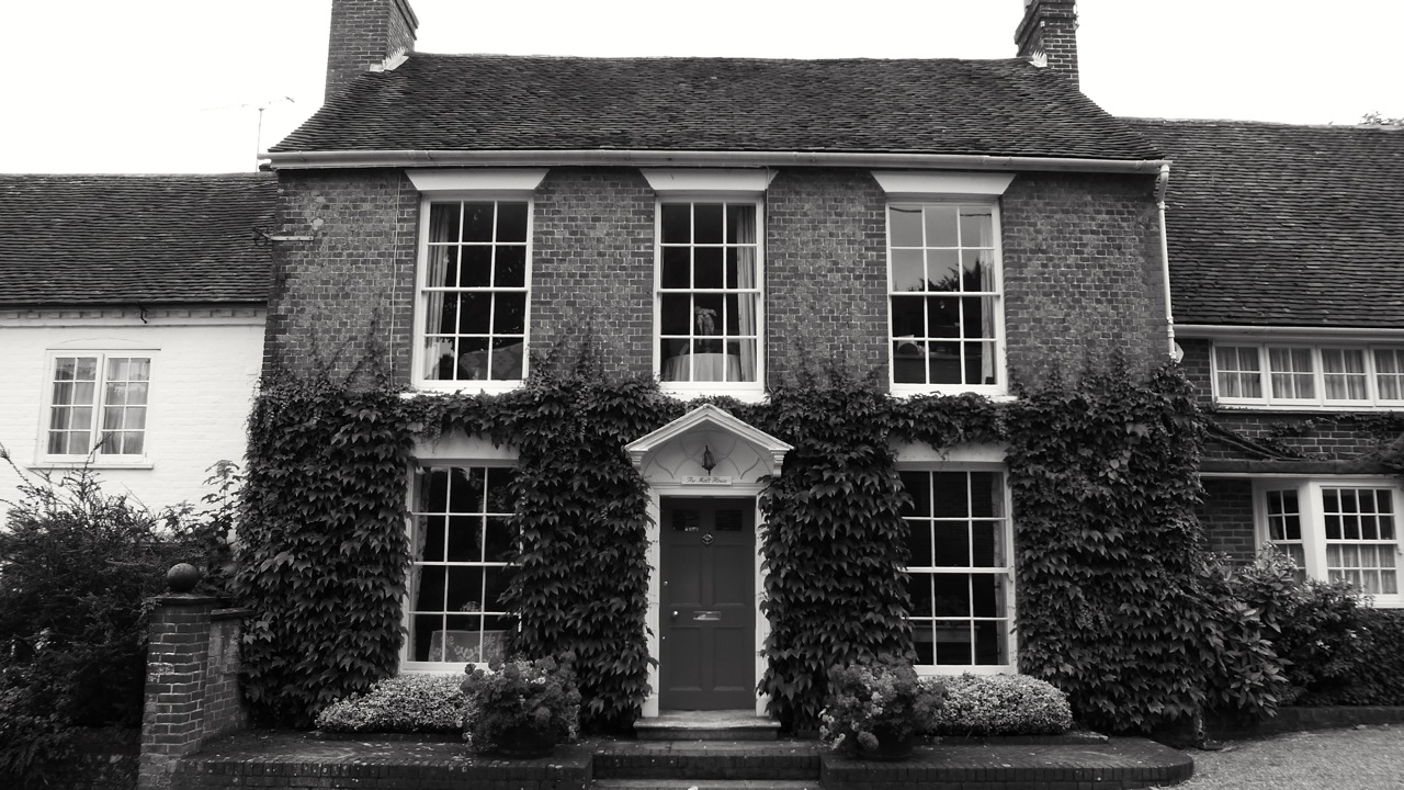
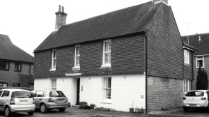
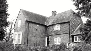
Here I present all of the listed buildings in the parish, except for a couple of barns that I couldn’t get access to. Thank you to all the property owners who gave me permission to photograph. My favourites today are The Malt House and Mill Cottage, appearing first.


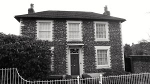
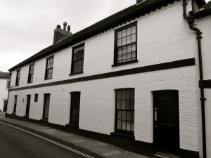
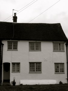
 Droxford C17")

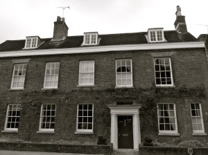
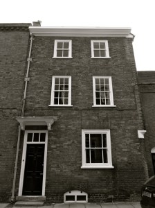
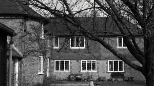
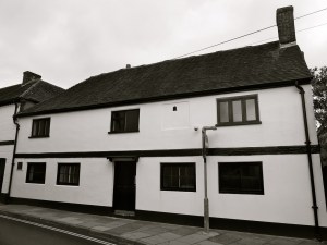
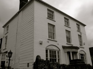
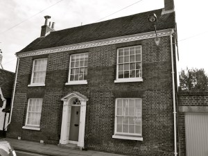
 Droxford C18")


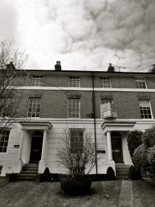
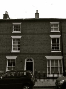
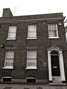
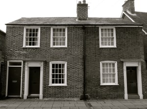
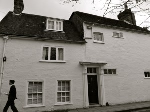
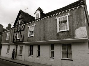
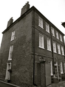
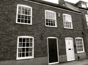
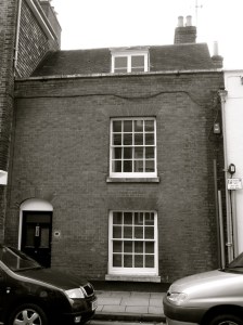
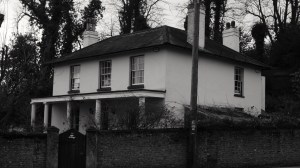
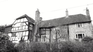
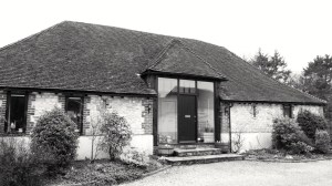
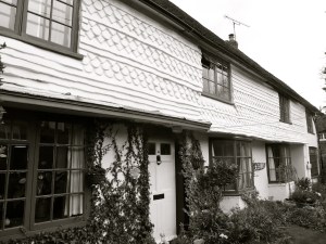
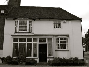
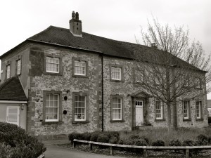
 Droxford C16-18")


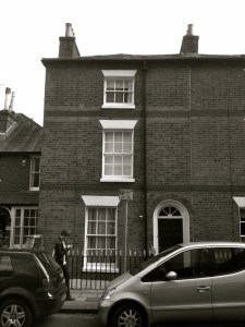
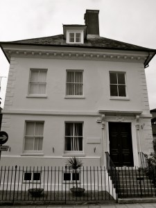
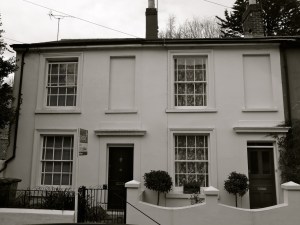
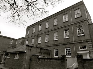
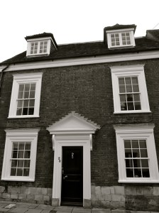
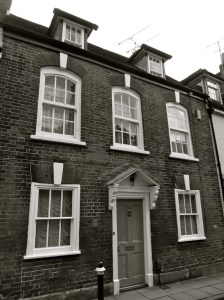
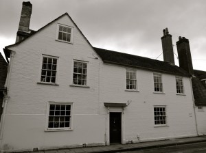
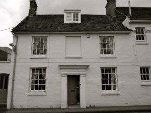
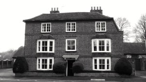
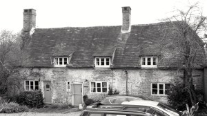
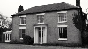
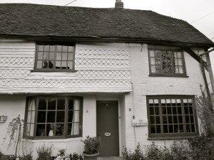
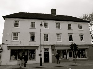
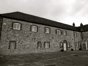
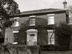
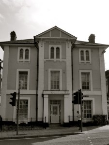
 Droxford 1848")
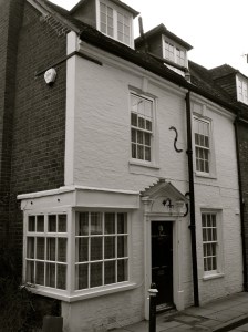
 Droxford 1848")


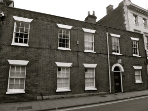
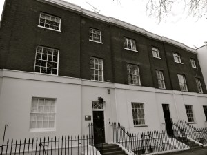
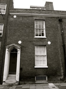
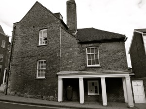
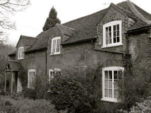
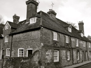
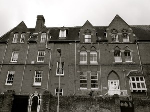
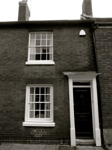
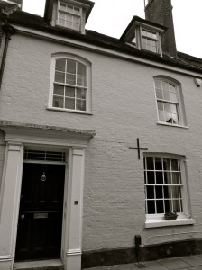
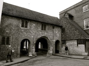
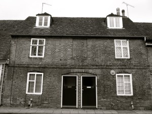
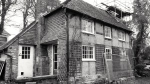
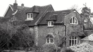
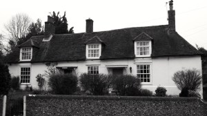
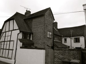
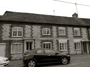
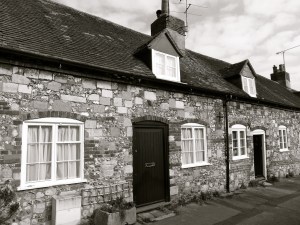
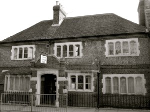
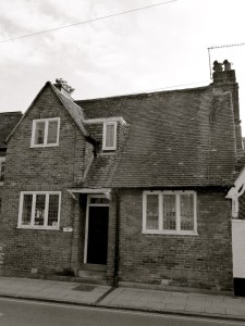
 Droxford C14-18")
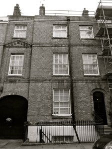
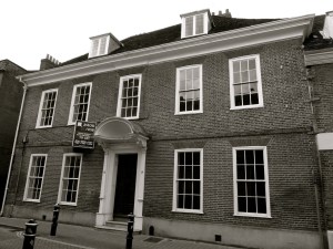
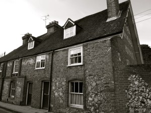
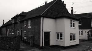
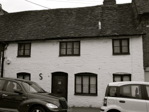
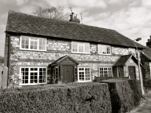
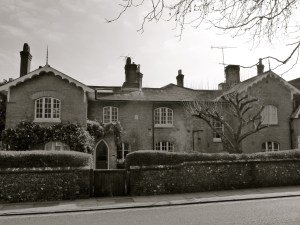
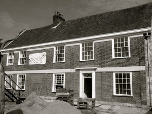
 Droxford C14-18")
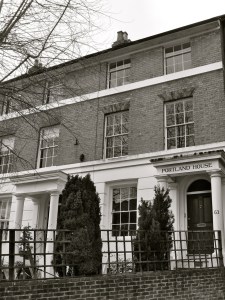
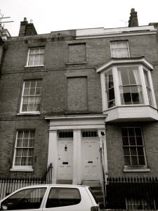
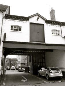
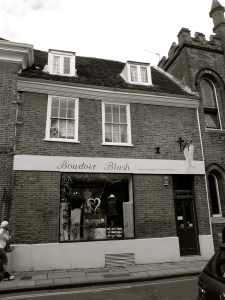
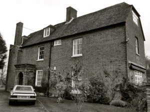
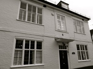
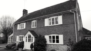
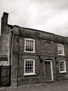
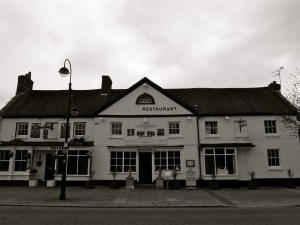
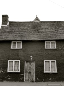
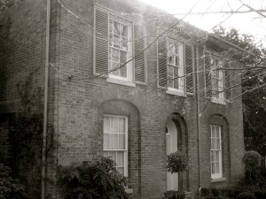
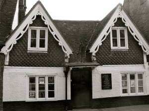
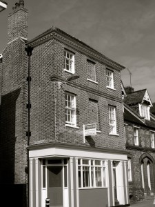
 Droxford C17-19")


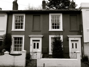
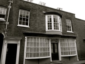
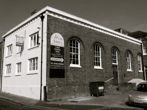
 Portsmouth 1754")


 Portsmouth 1784, 1836")

 Queens St Portsmouth C19")
 84 and 85 Queens St Portsmouth C19")


 Bishop St Portsmouth 1850")


 Queens St Portsmouth C19")


 Bishop St Portsmouth 1850")


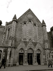
 Portsmouth 1846")
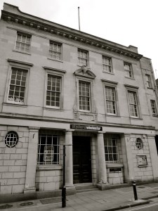
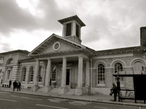
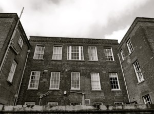
 Portsmouth University c1800")


 Gunwharf Portsmouth 1814")
 Gunwharf Portsmouth 1814")
 Gunwharf Portsmouth 1814")
 Gunwharf Portsmouth 1814")
 Gunwharf Portsmouth 1814")
 Gunwharf Portsmouth 1814")
 Gunwharf Portsmouth 1814")

 Gunwharf Portsmouth C18")


 C12-20")
 C12-20")
 C12-20")


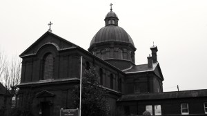
 Portsmouth c1212")


 Portsmouth c1212")


 (Rear) C19")


 High St Portsmouth C18")
 and 13 High St Portsmouth C18")
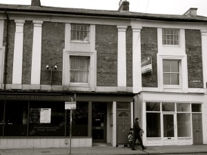
 High St Portsmouth C16-18")
 (Cambridge Barracks) c1855")
 (Cambridge Barracks) c1855")
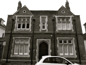
 c1855")


 Lombard St Portsmouth C18")
 Lombard St Portsmouth C18")
 Lombard St Portsmouth C18")
 St Thomas St Portsmouth C17-18")

 Lombard St Portsmouth C17-18")
 St Thomas St Portsmouth C17-18")

 St Thomas St Portsmouth C18-19")
 St Thomas St Portsmouth C18")


 St Thomas St Portsmouth C18")


 and 62 St Thomas St Portsmouth C18")
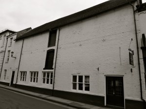
 (Popinjays Warehouse) C16-18")
 C16-18")
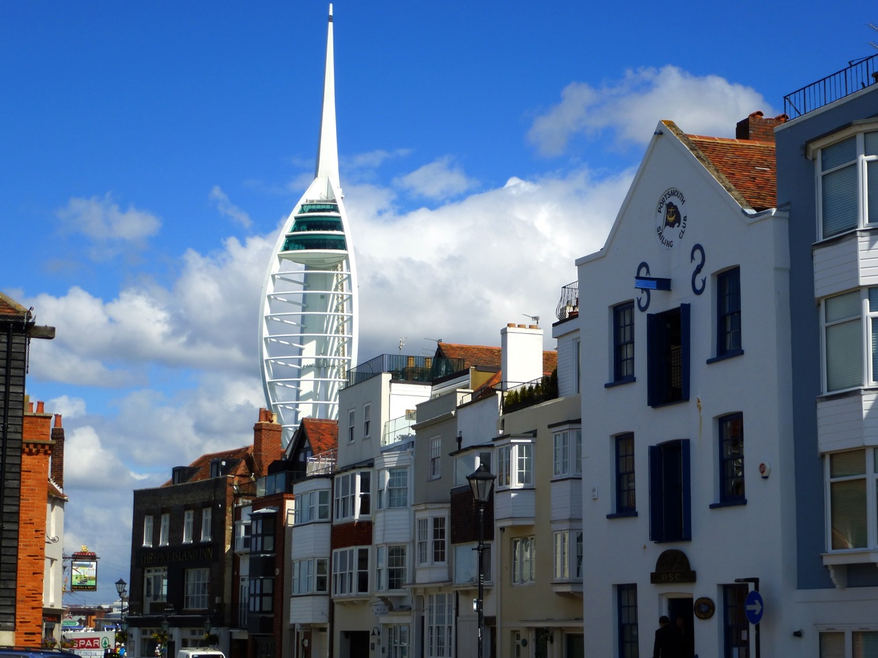
 Portsmouth C15-19")


 Portsmouth C15-19")


 Broad St Portsmouth C18")


 Broad St Portsmouth C18")


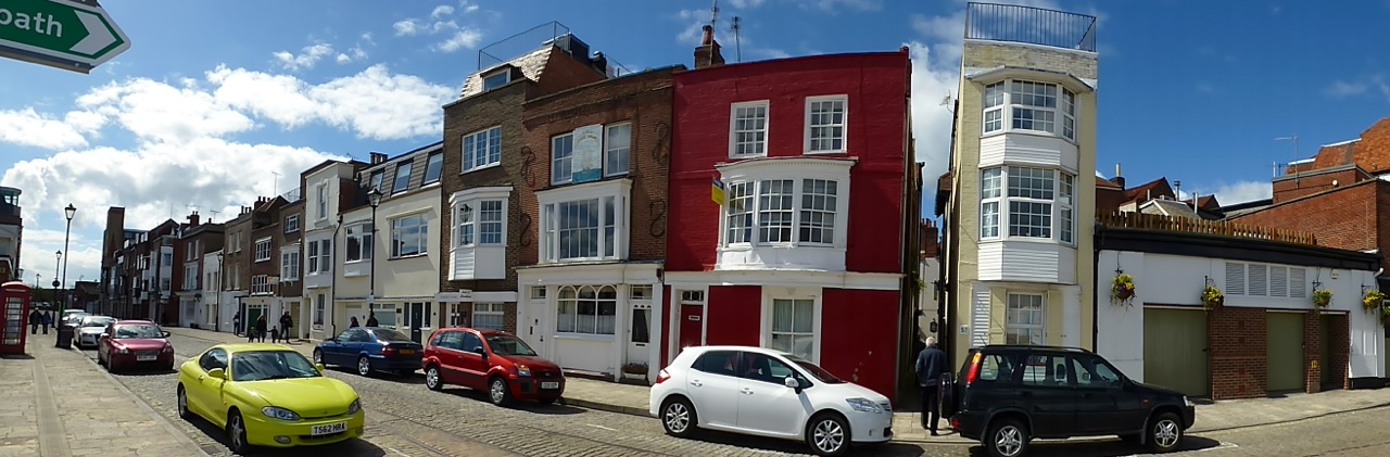
 Portsmouth C19")
 Portsmouth C19")
 Portsmouth C19")
 Portsmouth C19")
 Portsmouth C19")

 Portsmouth 1754")
 Portsmouth 1754")


 Portsmouth 1806")
 Portsmouth C18")


 Broad St Alresford C18")
 Broad St Alresford C18")
 (North) Broad St Alresford C19")


 Broad St Alresford C18")
 Broad St Alresford C18-19")


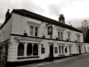
 Broad St Alresford C19")
 Broad St Alresford C19")
 Broad St Alresford C18-19")


 Broad St Alresford C18-19")


 Alresford C17")
 Alresford C17")
 Alresford 1840")


 C18-20")


")

")


")

")

")


")

")


 East St Alresford C19")


")

")


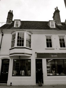
 The Spain Petersfield C19")


 The Spain Petersfield C16-18")


 College St Petersfield C19")


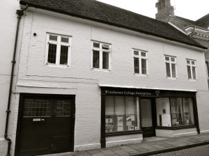
 Winchester C18")


")