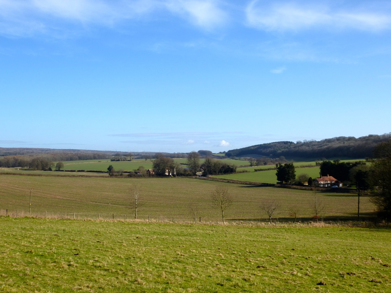
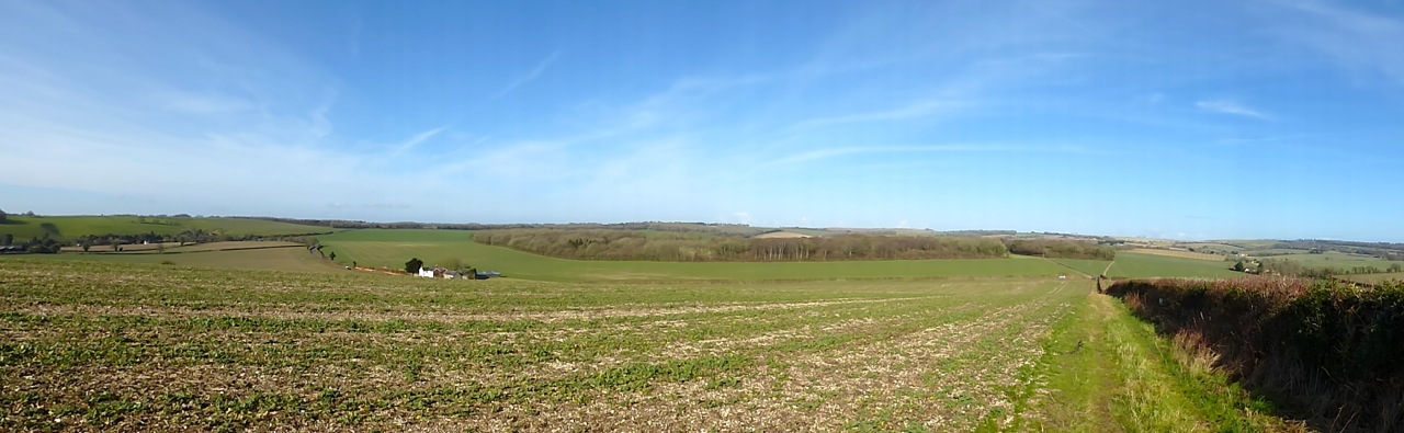
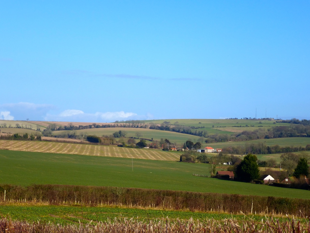
Crumbling away, still very apparent in most places, the Meon Valley railway line ran between Alton and Fareham in Hampshire. The dismantled railway passes a few miles from my home, near West Meon Hut and at the village. It was quite an engineering undertaking considering the small populations along its route, serving only villages along its 23 miles. This is probably why it only lasted 50 years or so – that and Gosport and Stokes Bay not taking off as tourist destinations. Most of the bridges remain, as does the station platform just south of West Meon. Nothing is left of the iron viaduct except some foundations, abutments and the mighty embankments either edge of the river Meon. Here’s my tour:
First up, the north end of West Meon Tunnel. This is near West Meon Hut. The tunnel entrance is locked and it’s used to store caravans. It’s private property but some bloke fixing his motorhome said I could take some photos.


Just to the north, Vinnels lane crosses the old line, now infilled almost to the height of the bridge, by soil and by trash:


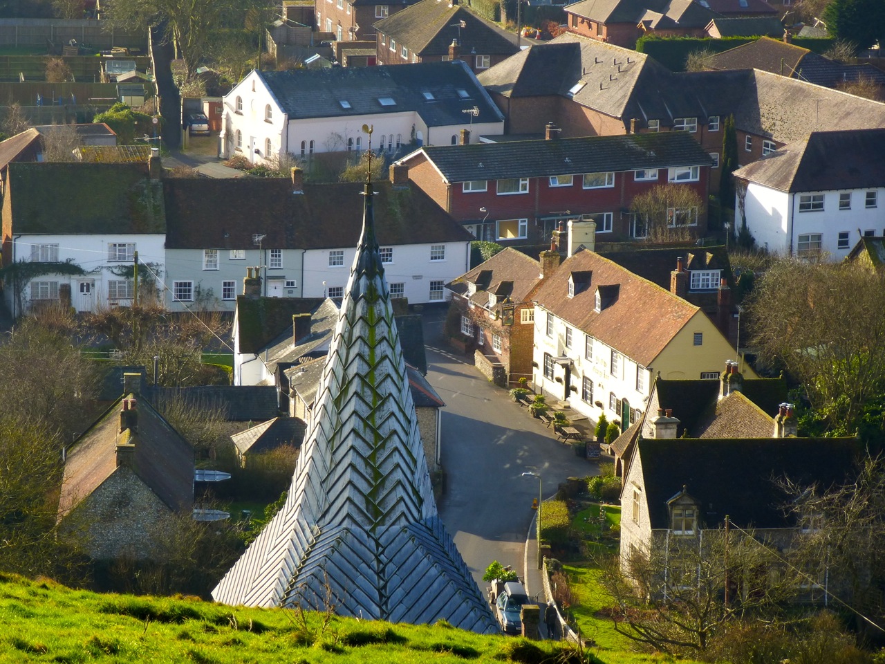
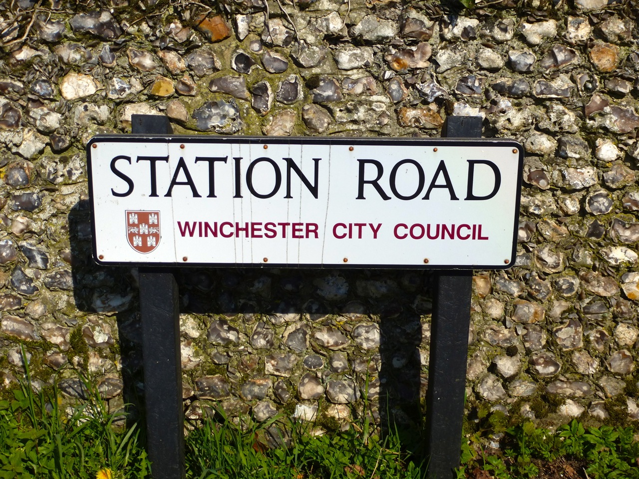
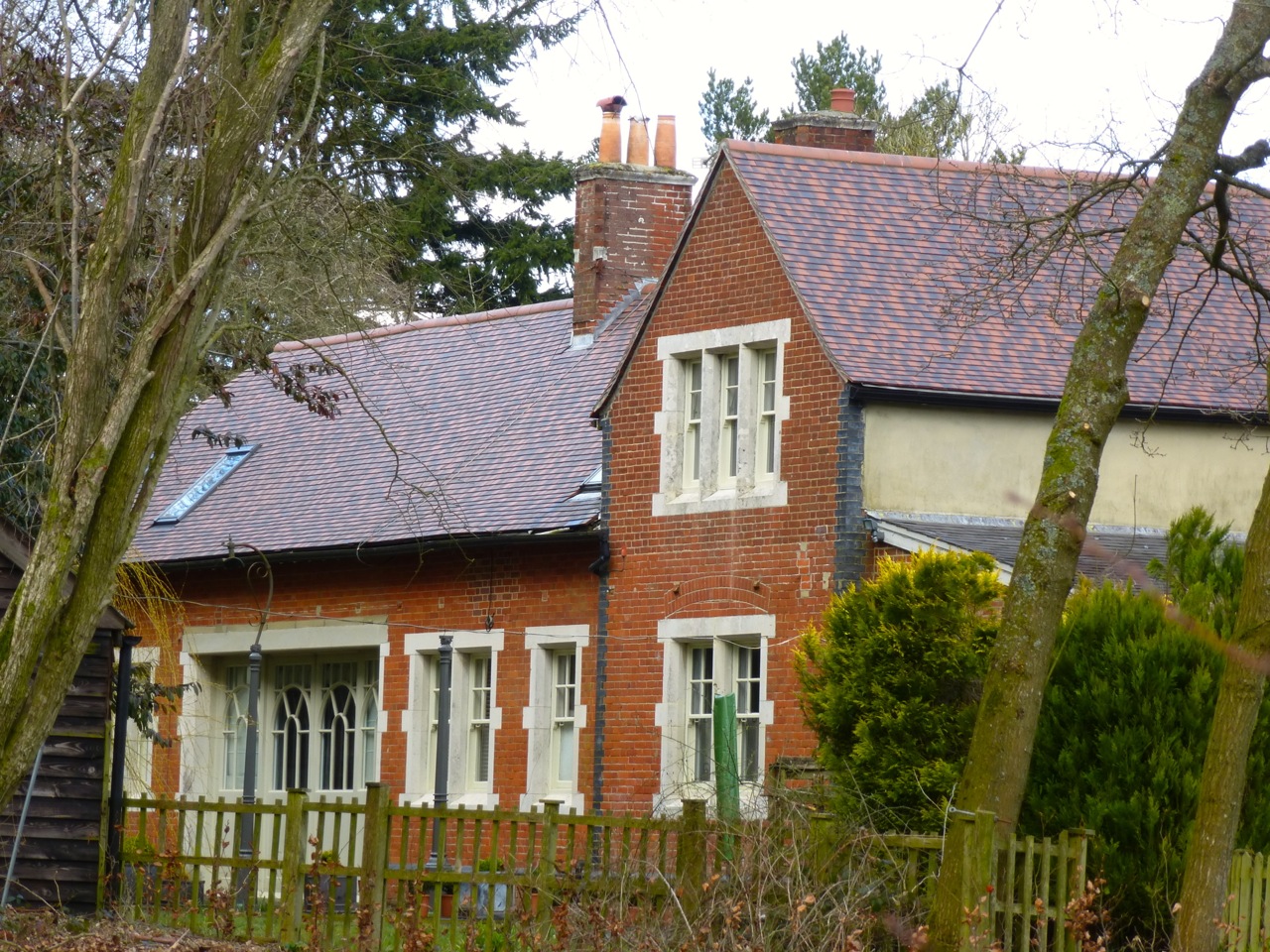
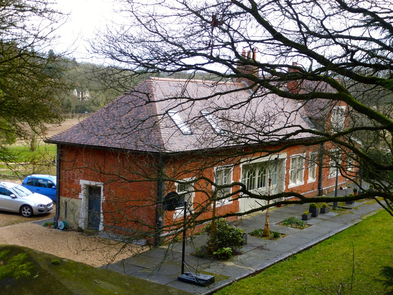
West Meon Station building is dismantled. It was situated just south of the village along, yes, Station Road:

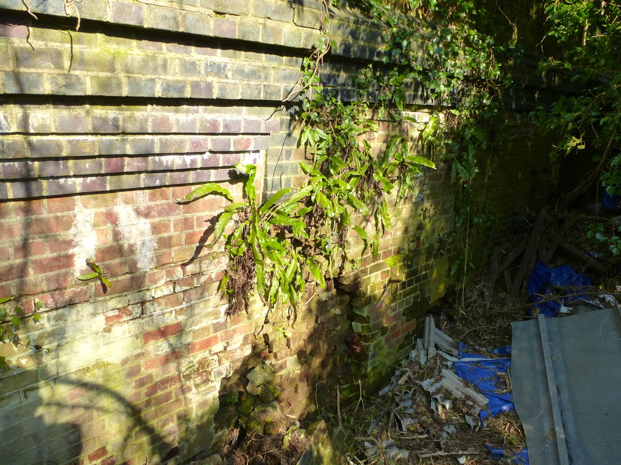
Some views of the old platform, being eaten by nature:


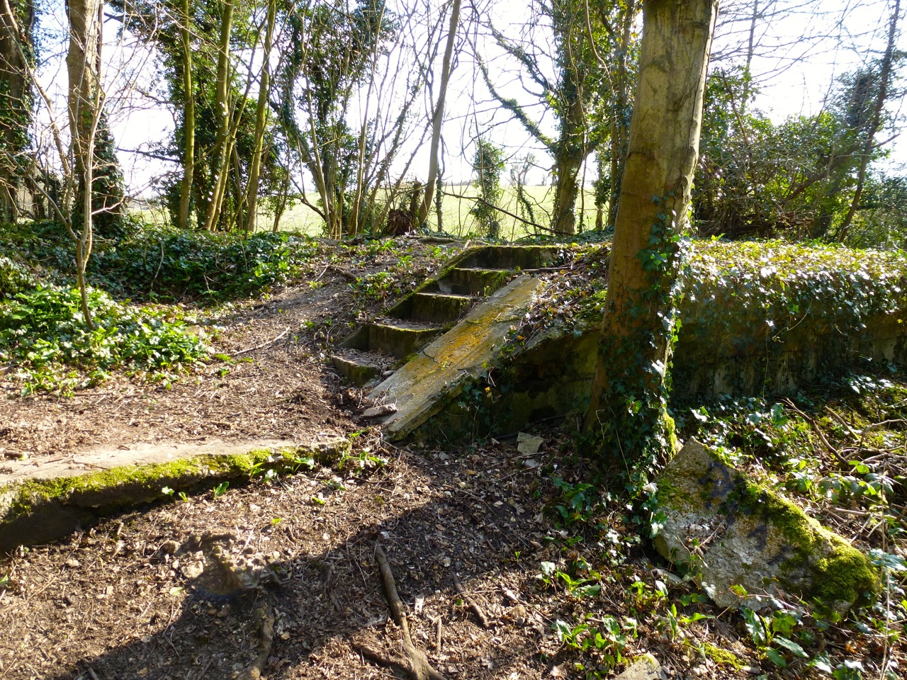
At one point the platform lowers to allow people to walk across the line:

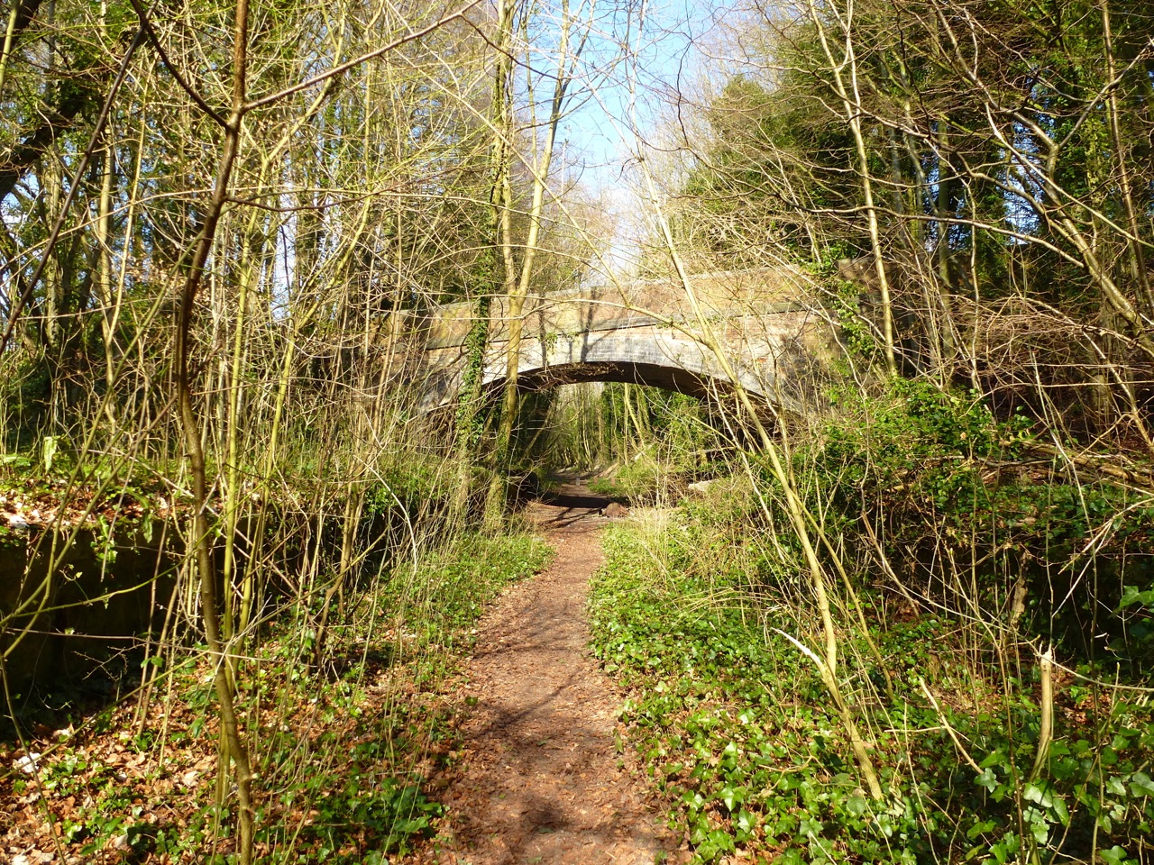
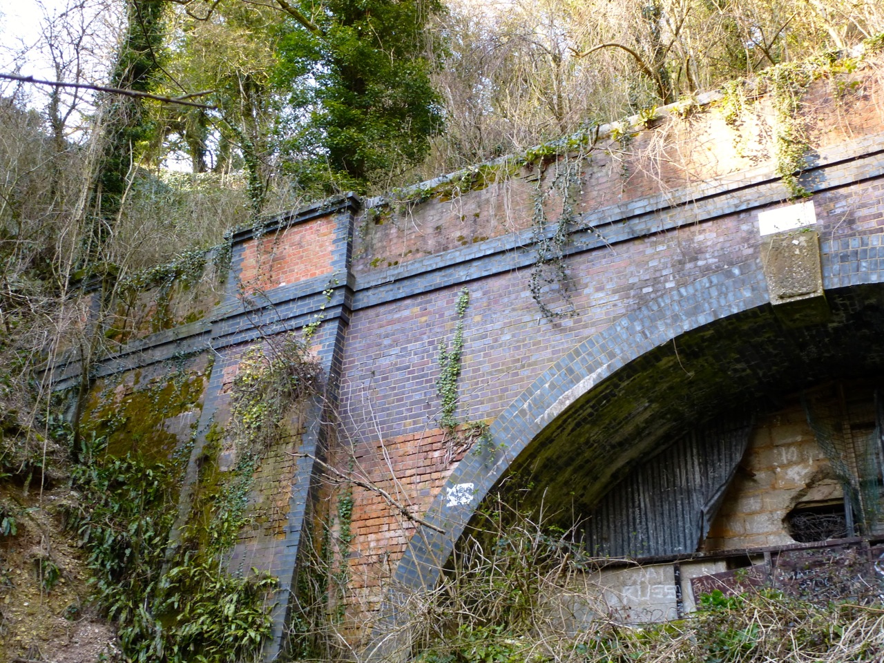
The platform runs under the road bridge of Old Winchester Hill Lane:


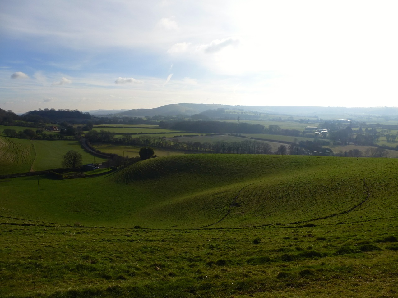
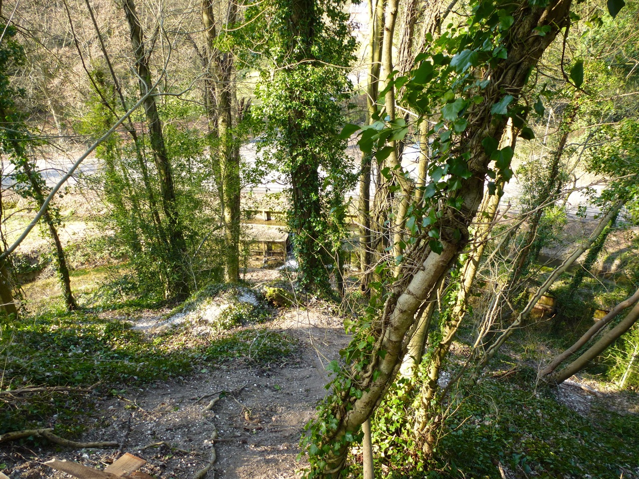
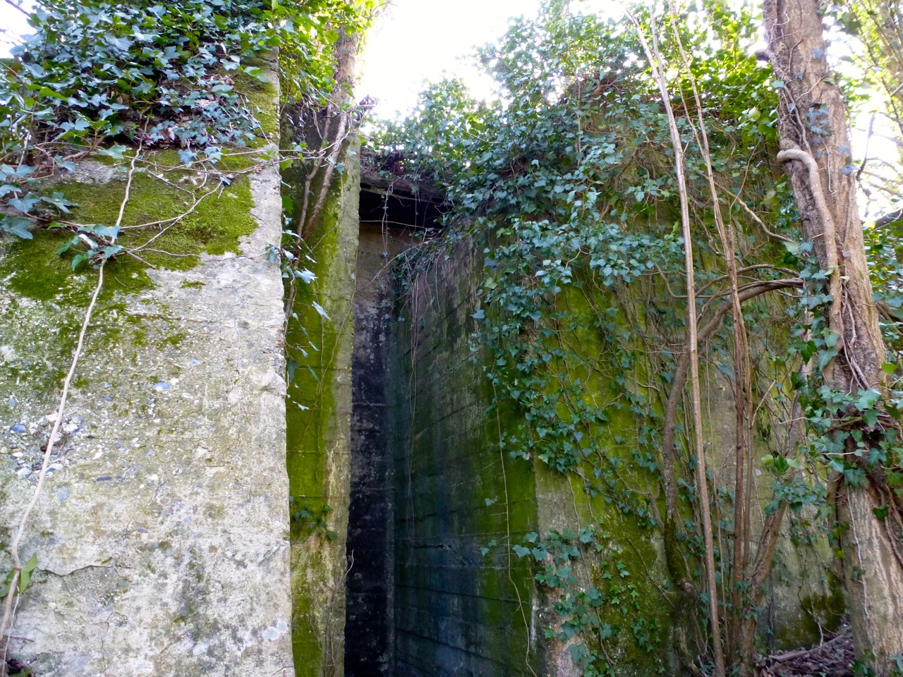
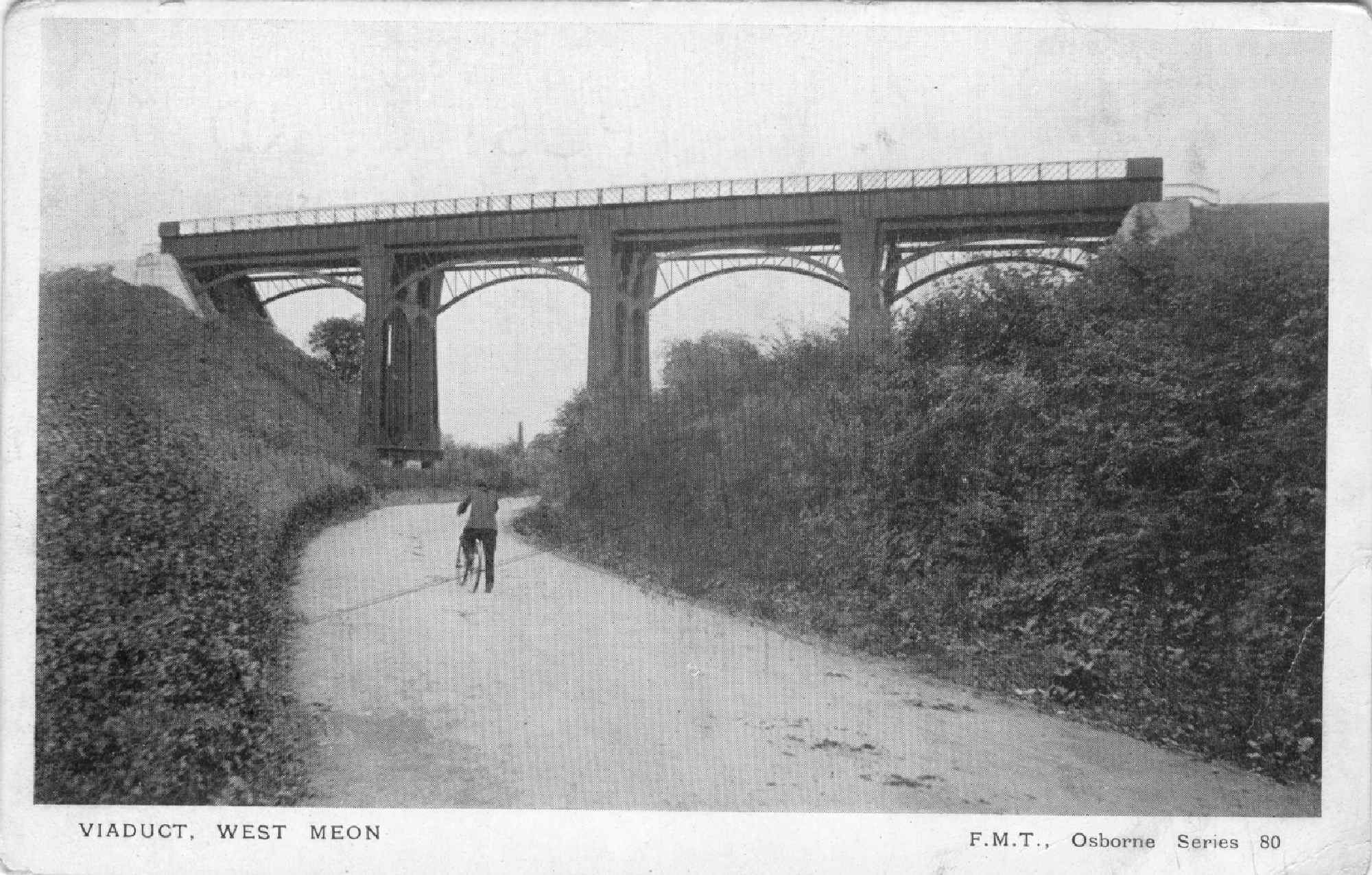
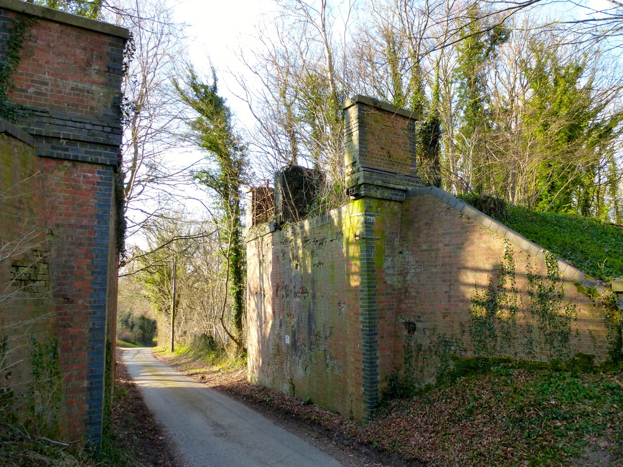
A few hundred meters north of the station is the site of the viaduct, crossing the Meon Valley. The river here is just a stream. It crossed between two 20m embankments:


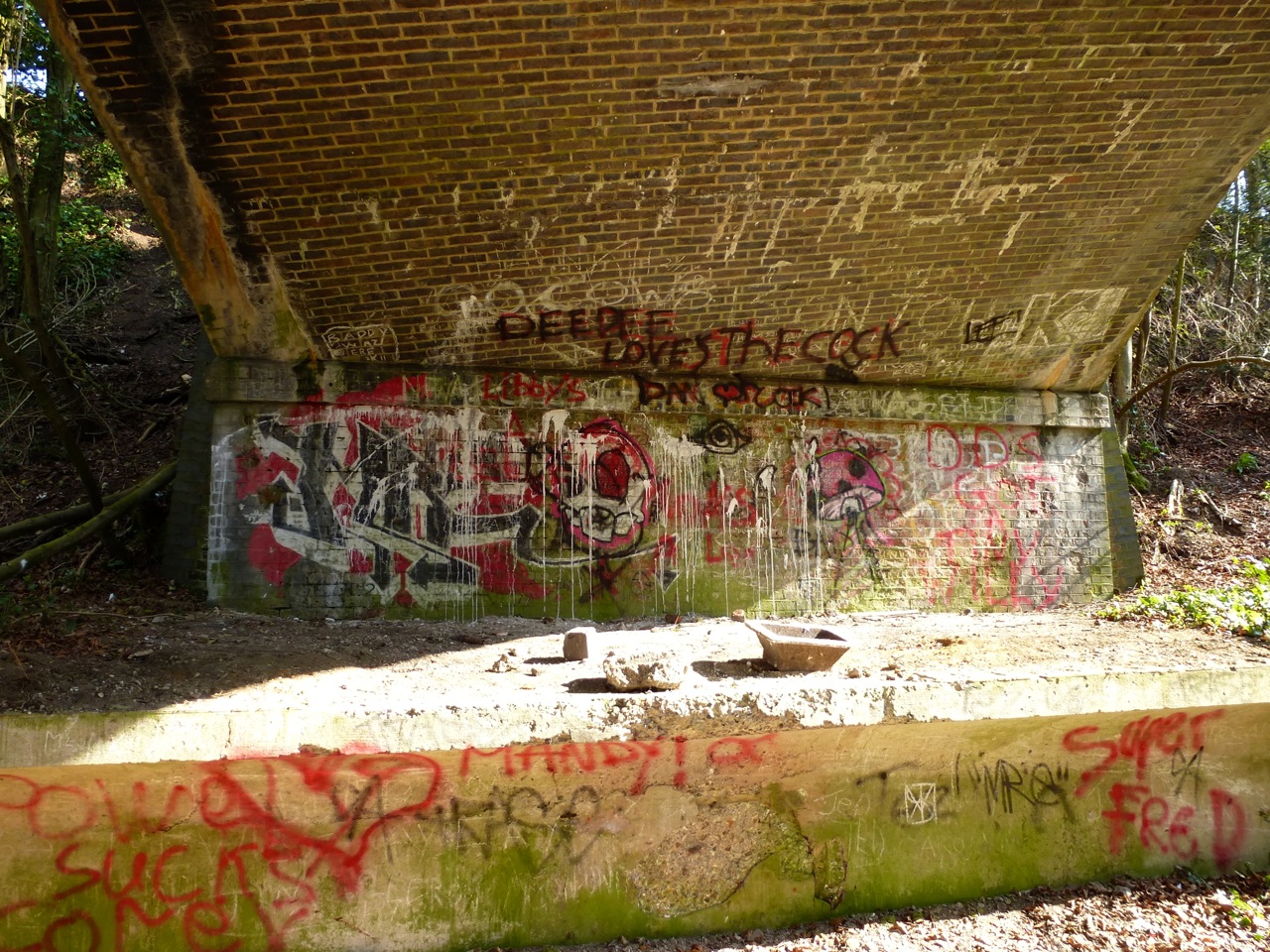
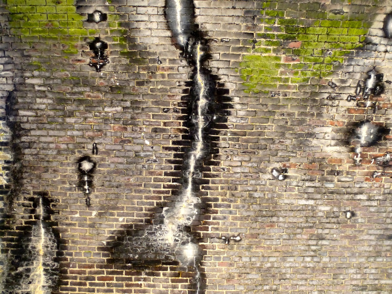
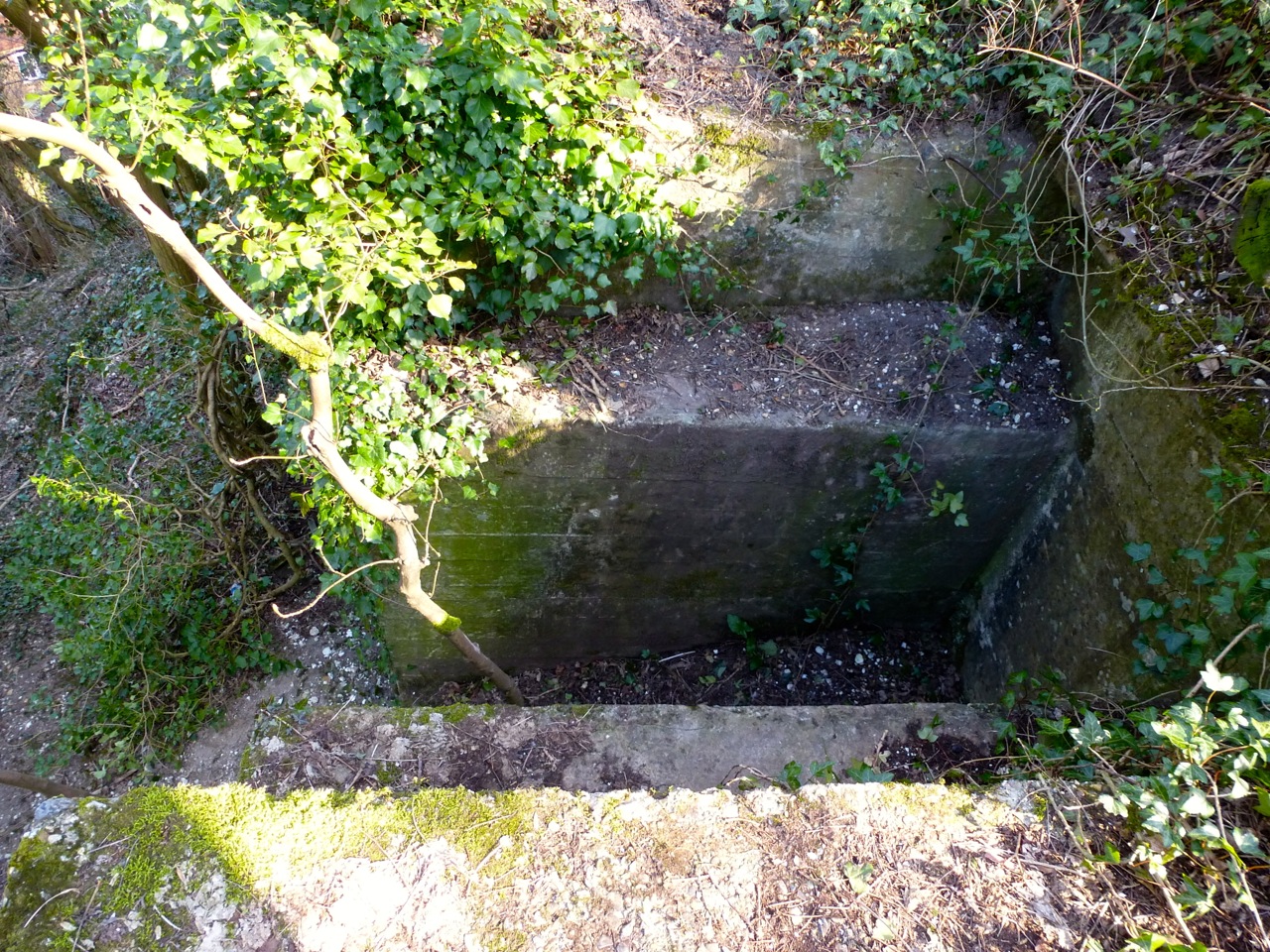
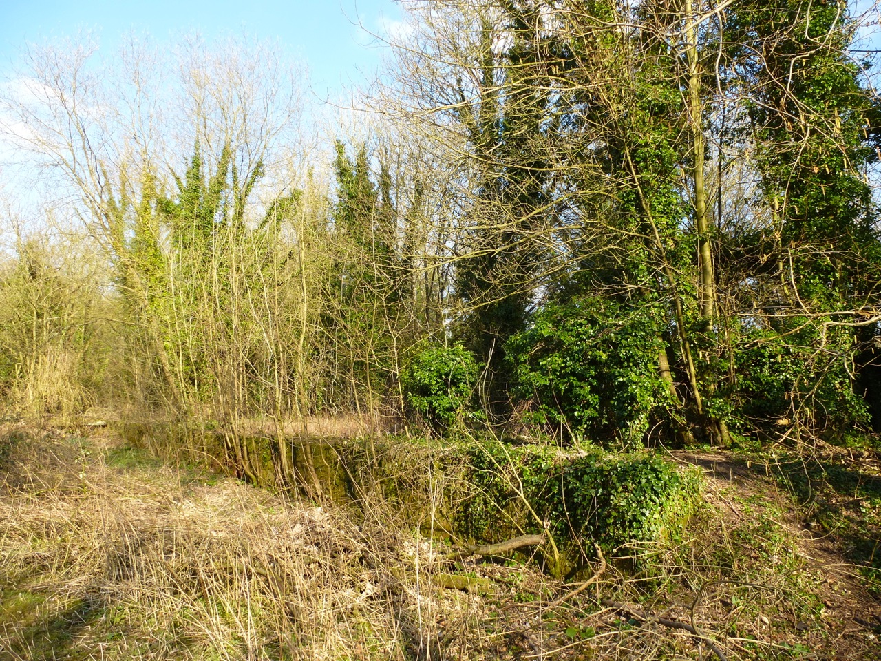
All that is left is some foundations and the abutments either end of the viaduct, with huge slots for the iron girders:


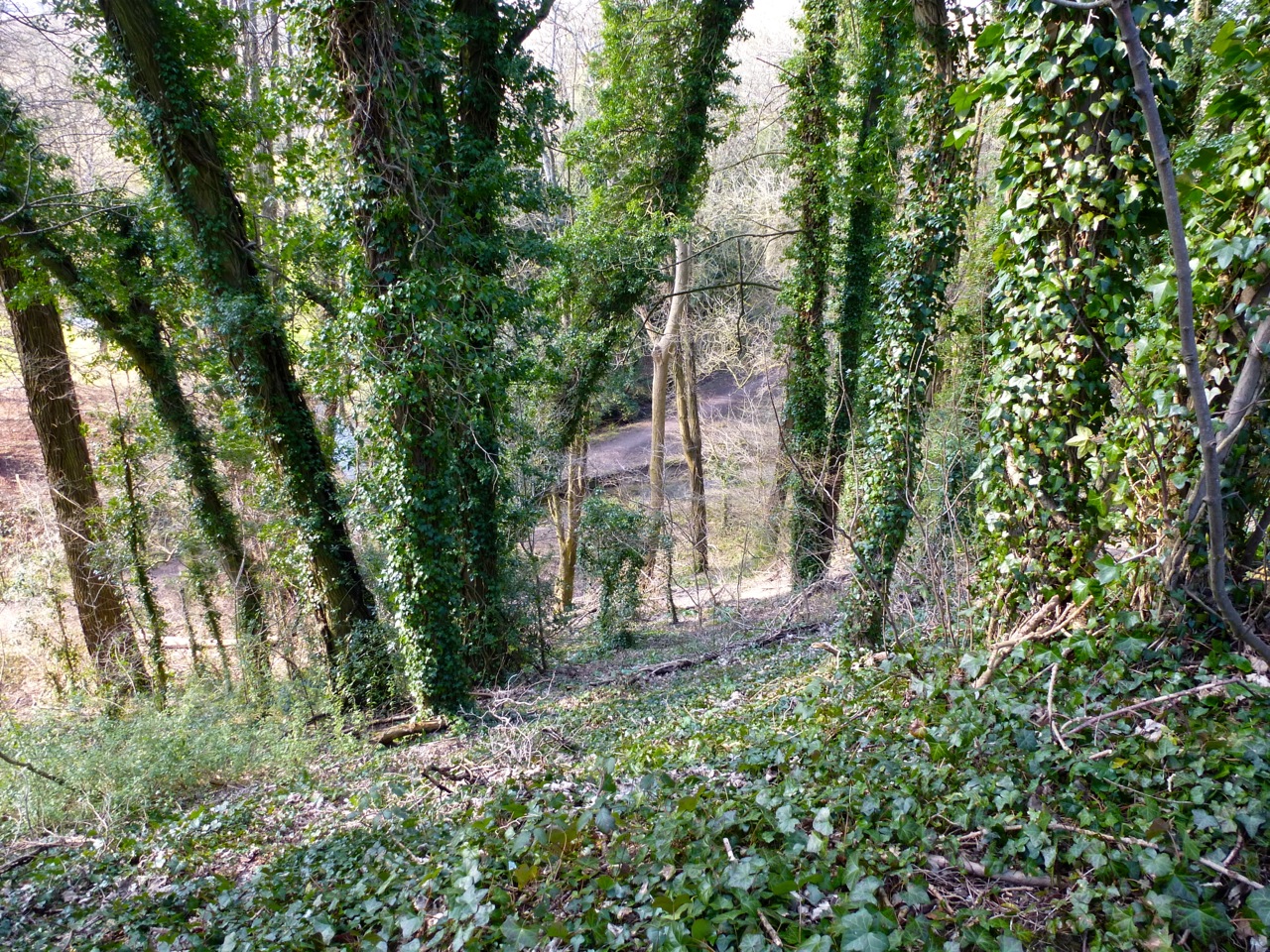
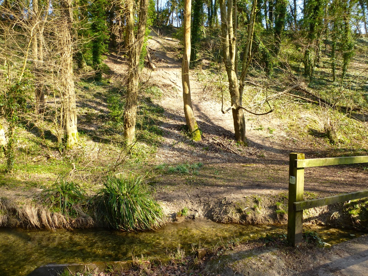
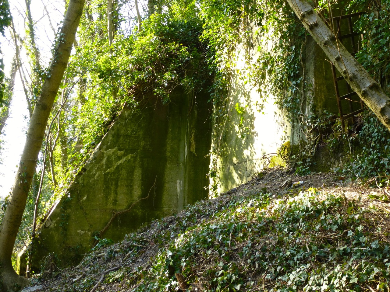
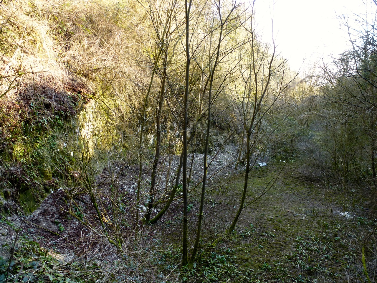
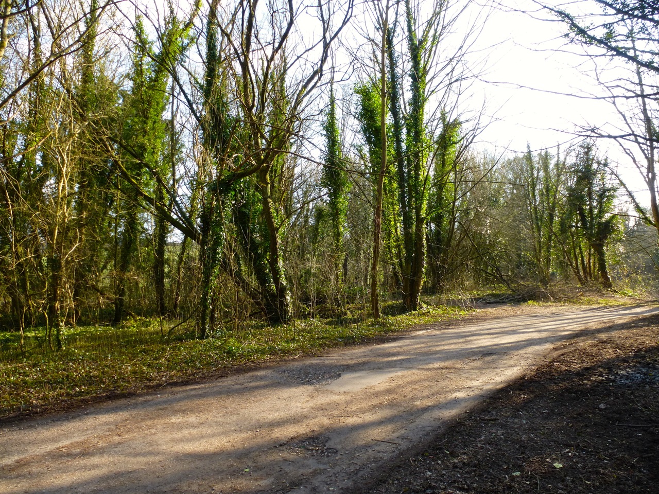
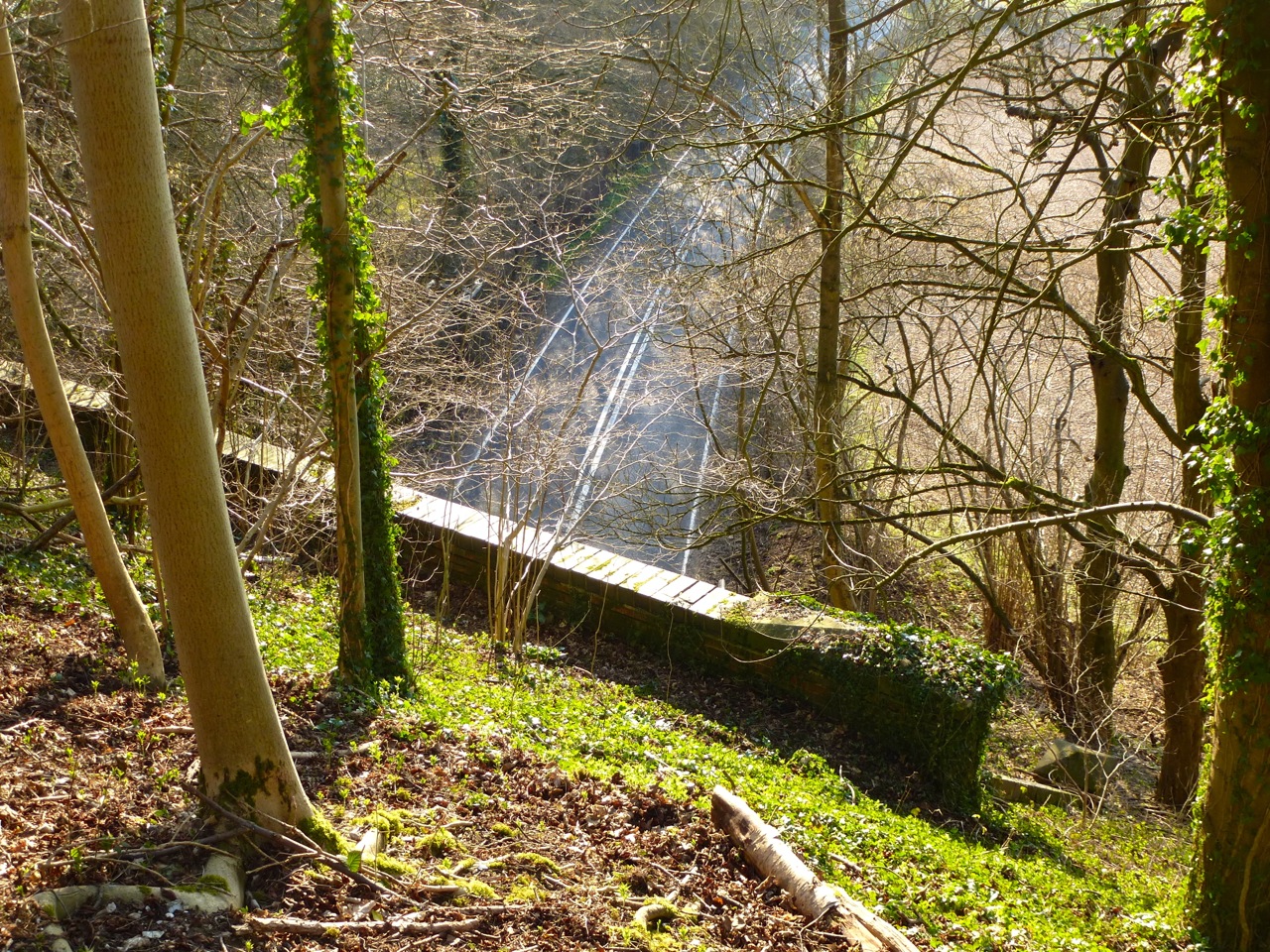
North of the viaduct is not open to the public, but I followed the line through some woods, probably overgrown in summer, the embankment turning into a cutting as it approaches the hill:


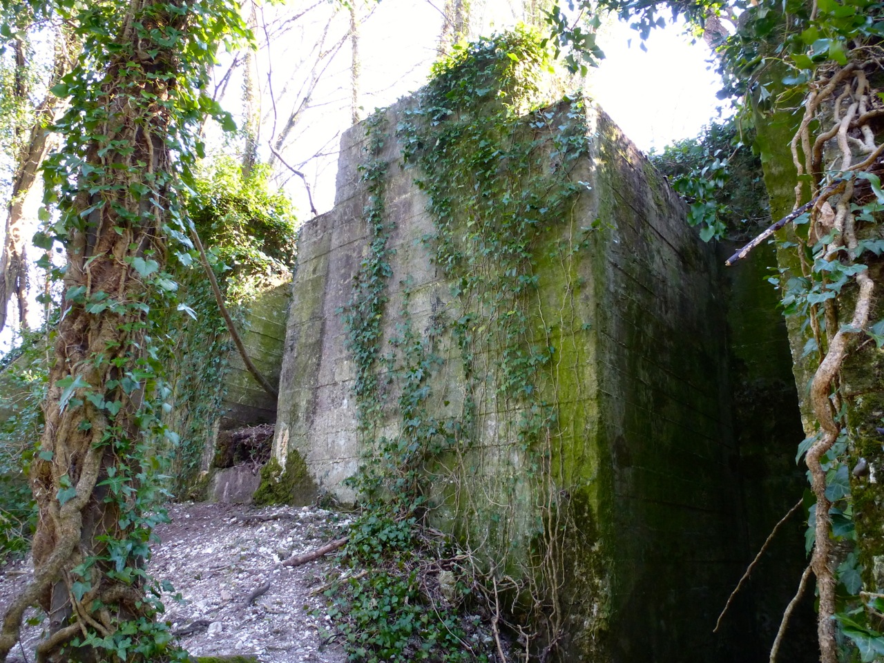
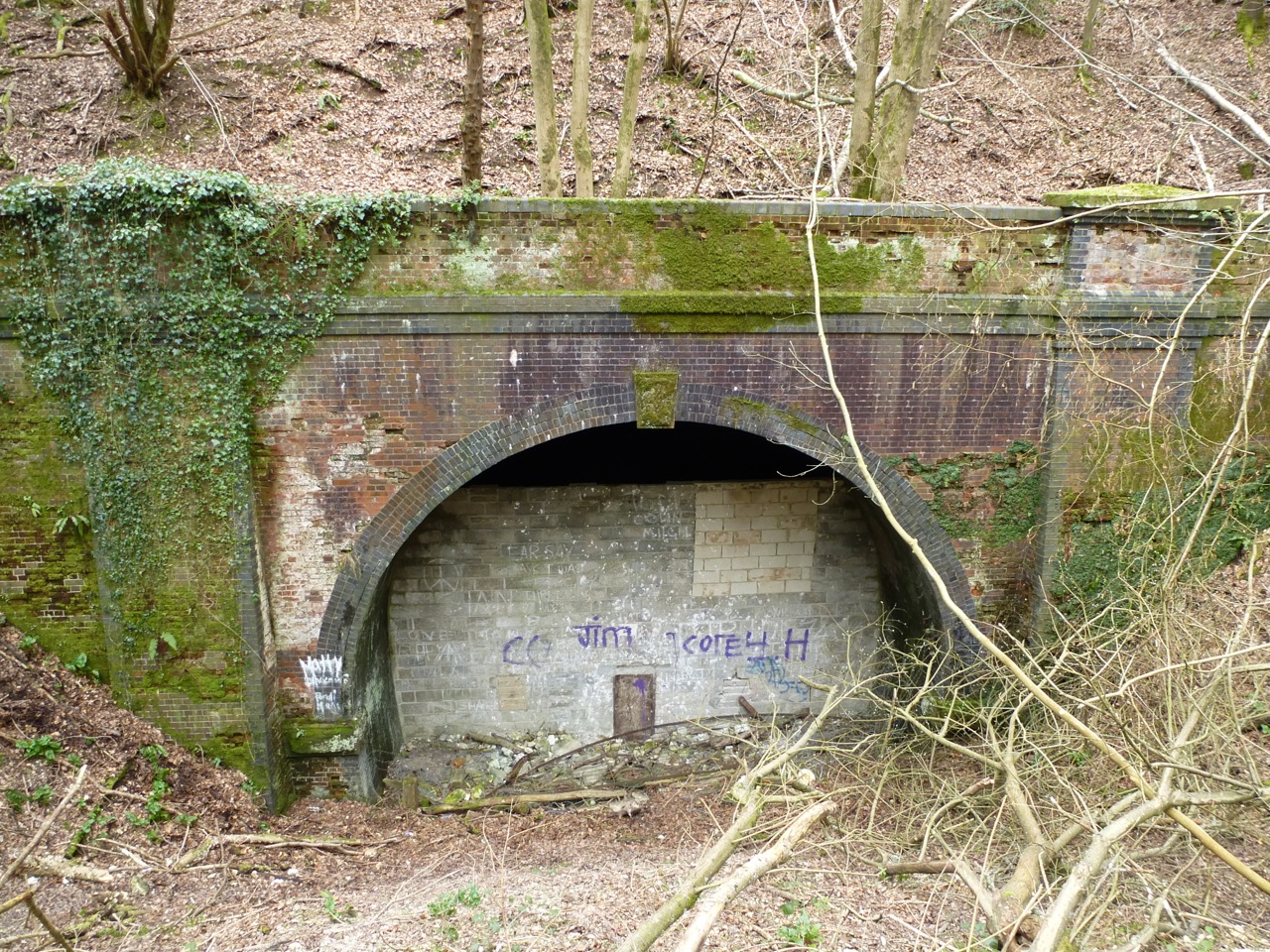
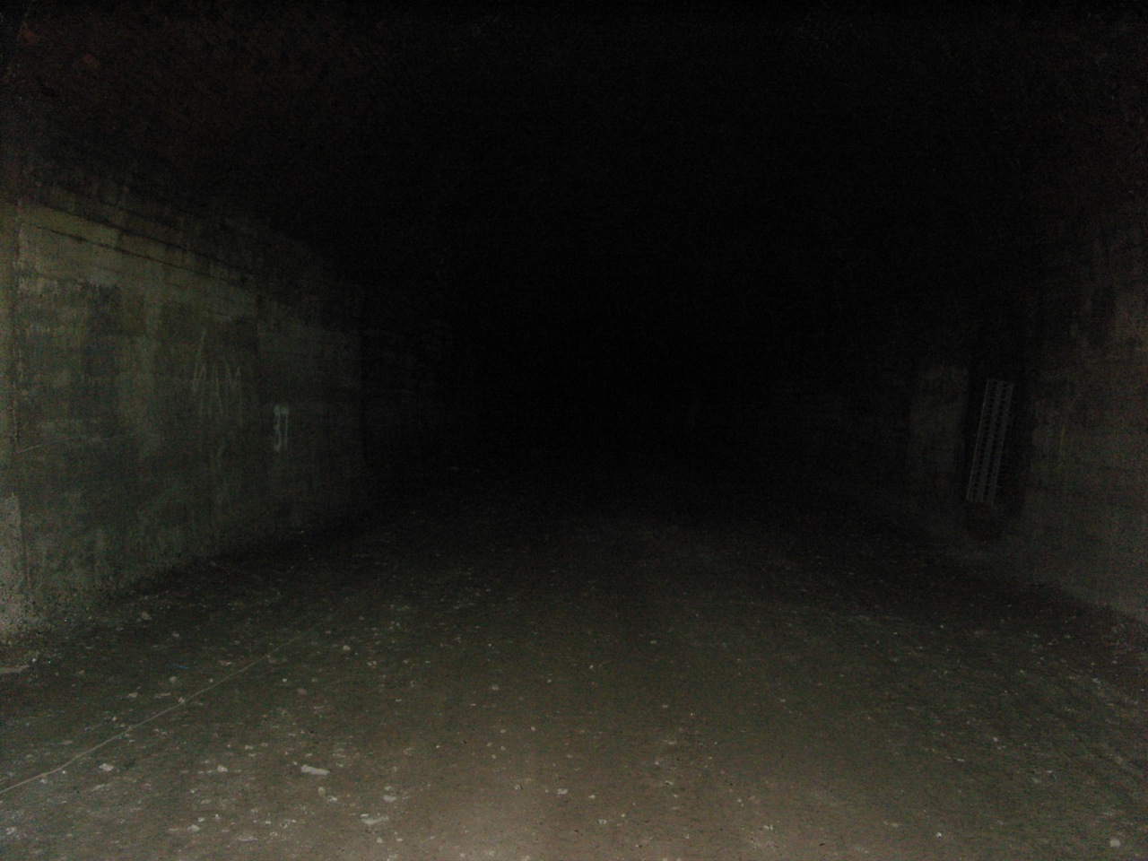
Less than a km from the viaduct, the hill is too steep and one reaches the southern end of West Meon Tunnel. It’s closed off with earth, metal and blocks. Where the blocks have been knocked though, bars and wire prevent access. There was a damp breeze coming from the hole, and a strange atmosphere about the place. I was drawn to it, wanted to stay, but at the same time I was slightly spooked:


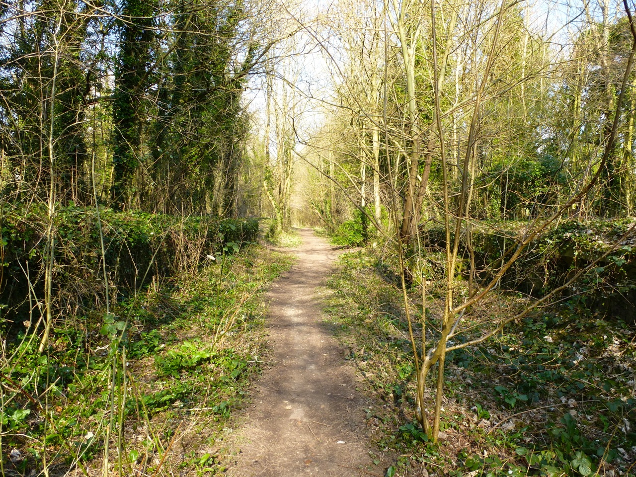
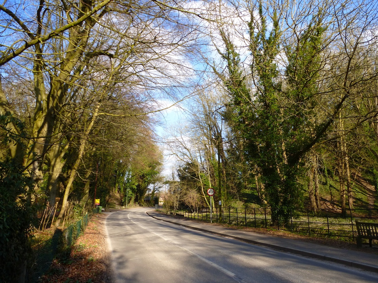
I then walked back to the village via the footpath in the spring sun to shake the mood. Here’s where the viaduct crossed the river and lane, and how it once looked:


Back at the station, the road bridge and looking down to where the station was, and a similar view in the old days:


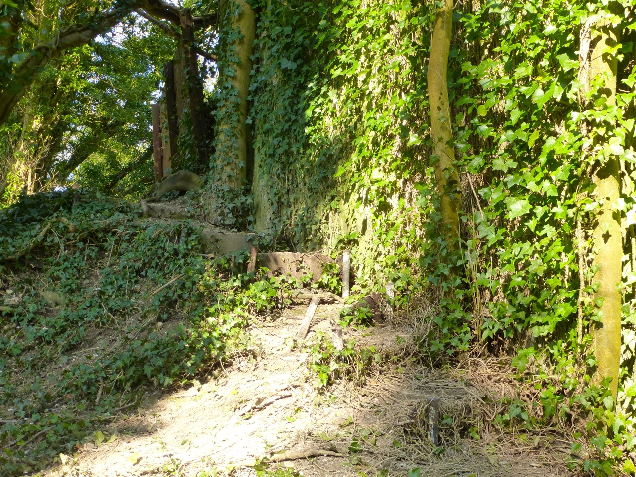
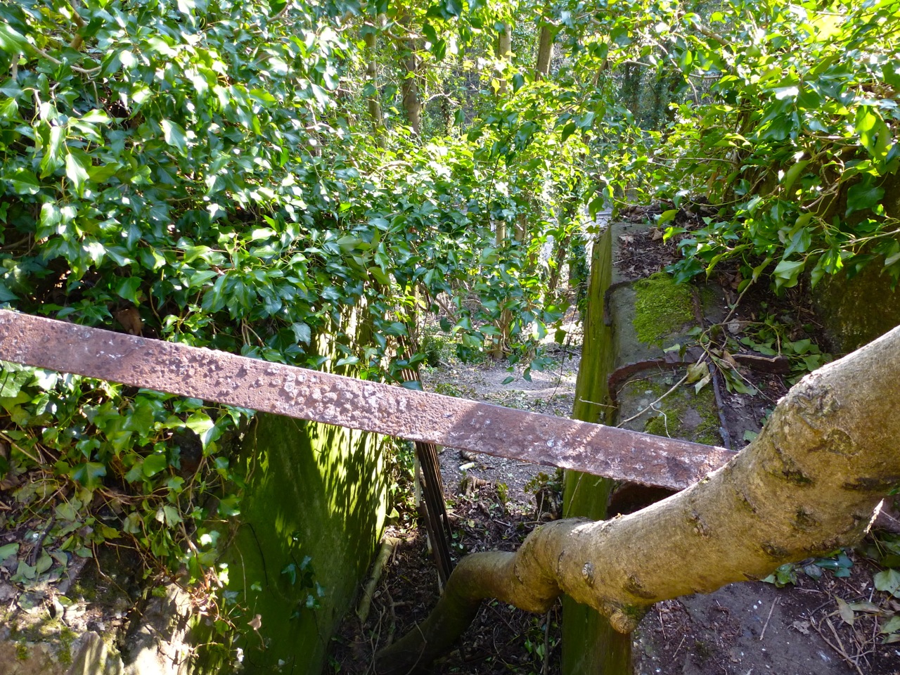
At the former West Meon goods yard next to the station:


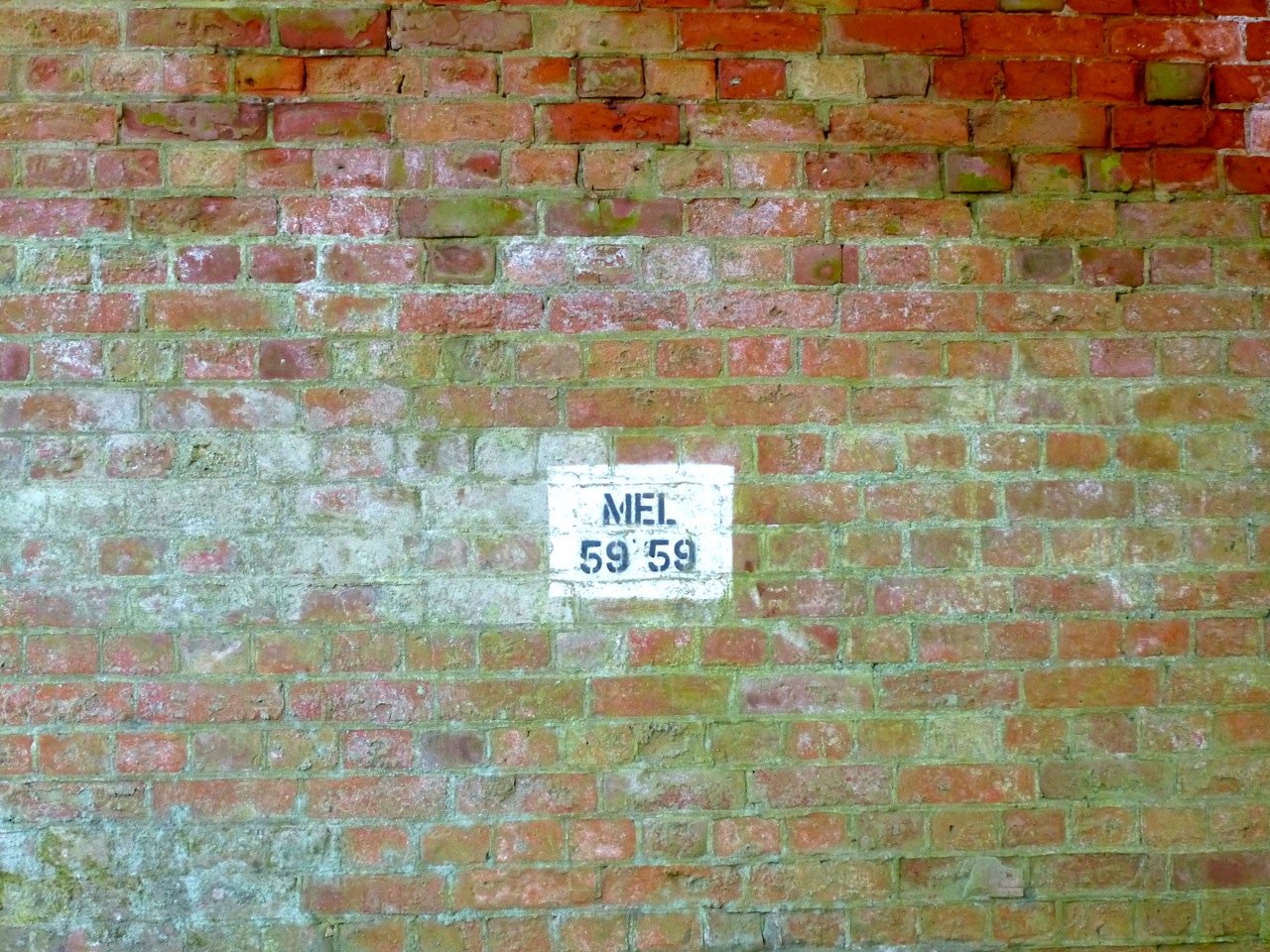
I then drove north out of the village along a little-used gravelly lane over the hill towards Arbor Trees farm where there’s a bridge of the consistent black engineering/red bricks. I find these quite charming. MEL = ‘Meon Line’?


And another bridge just to the east, probably taken down to allow farm vehicle access:


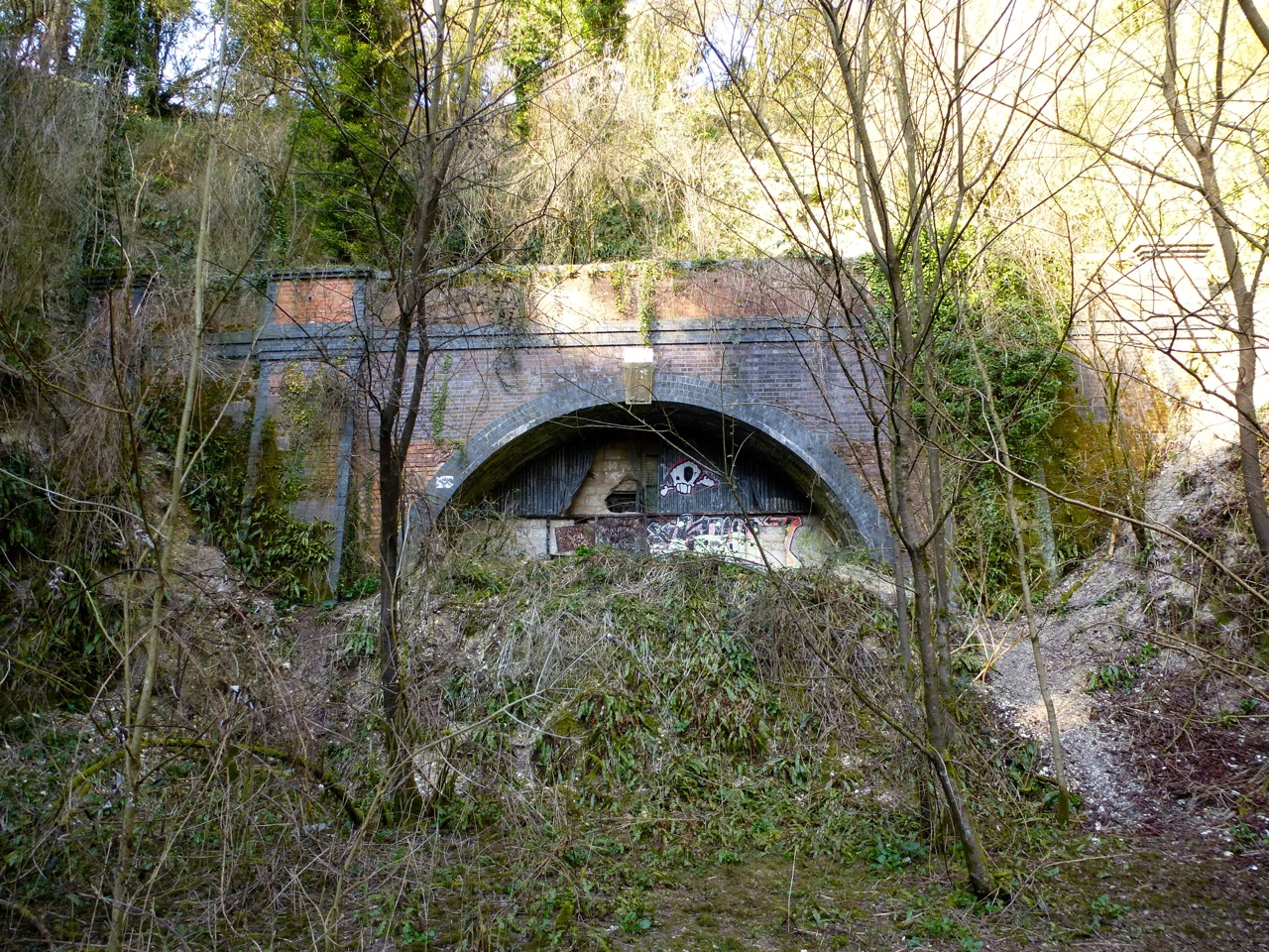
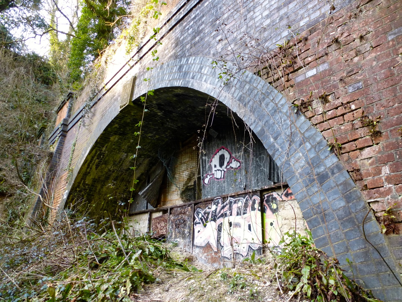
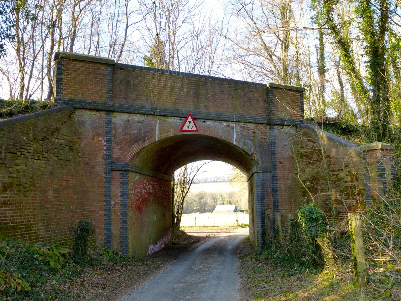
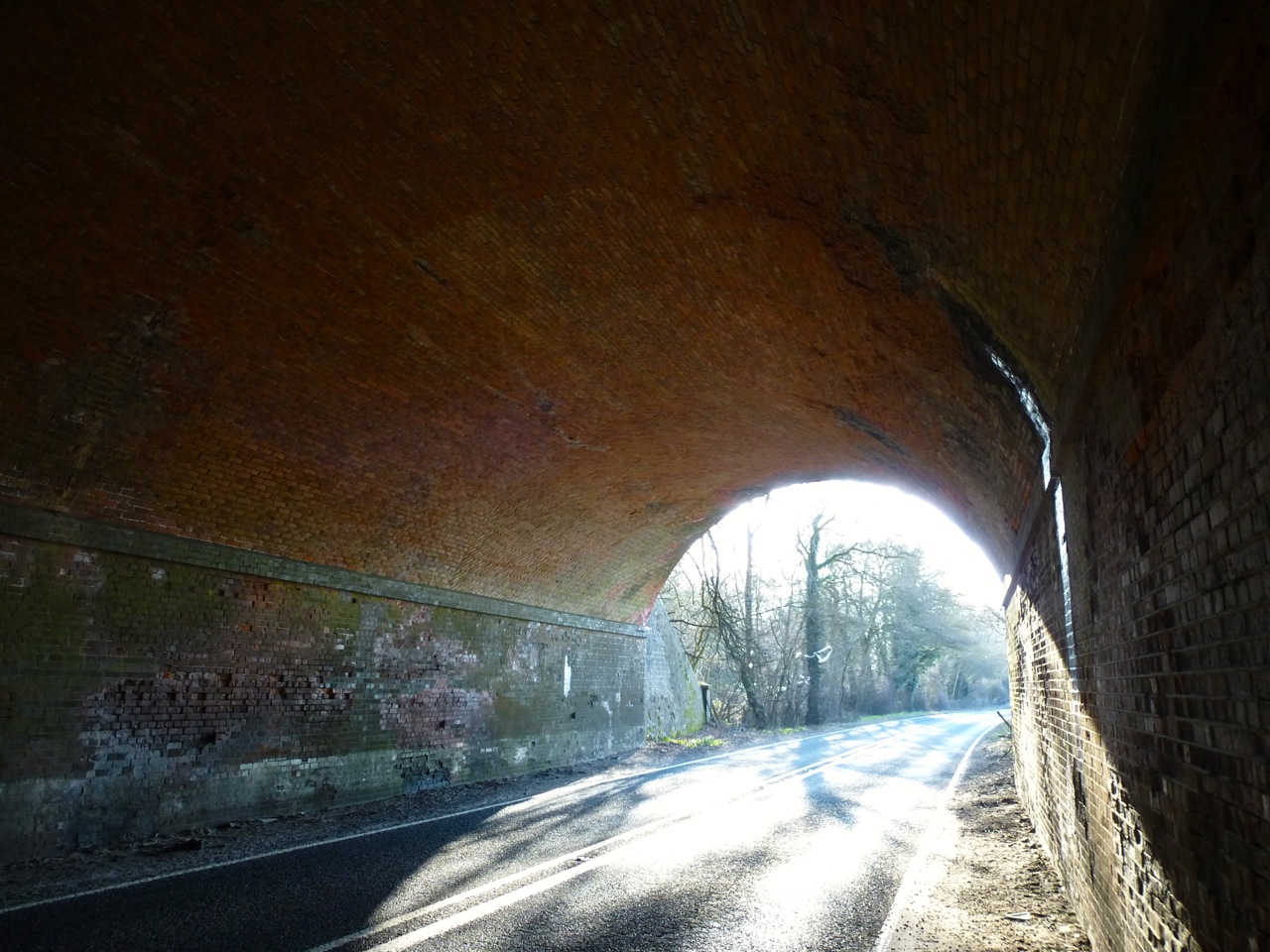
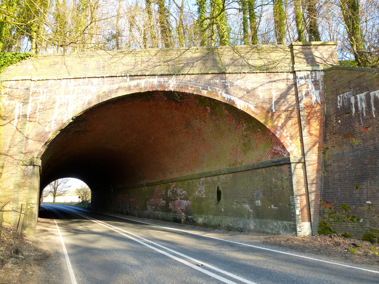
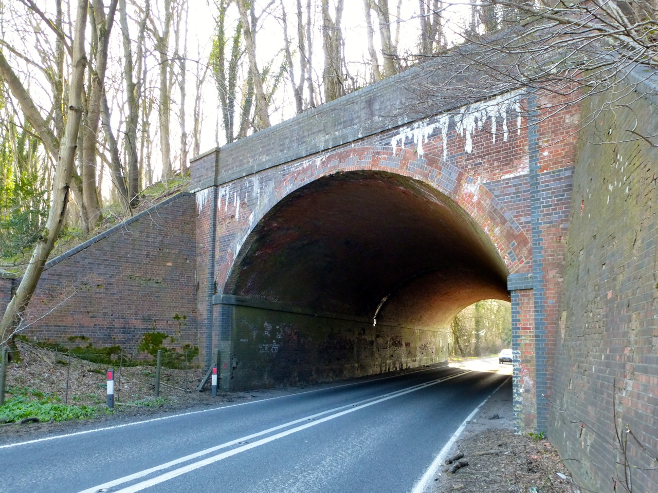
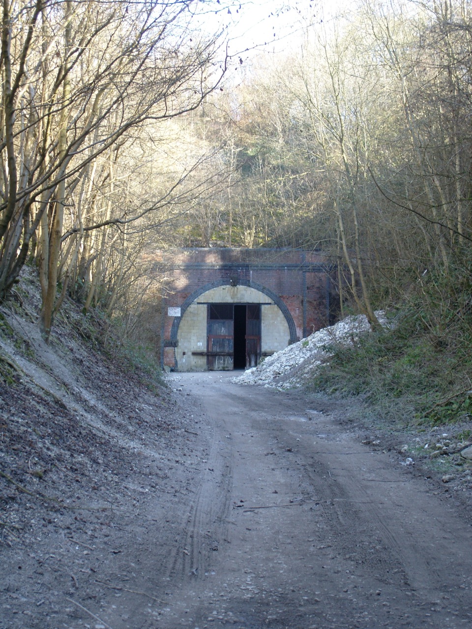
There’s no footpath here, but I couldn’t resist following the old line to the A272 tunnel, for a very different view of a familiar road:

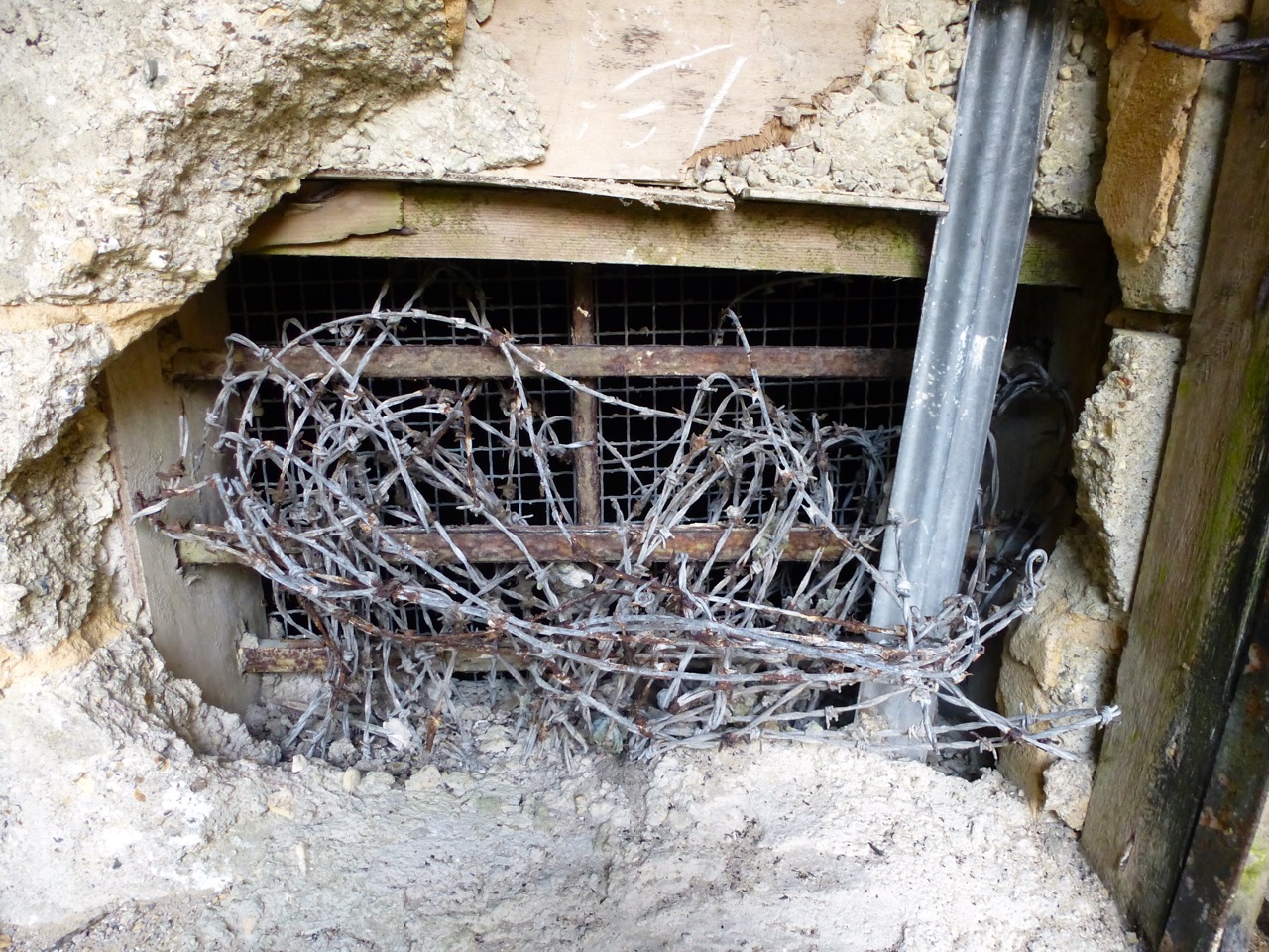
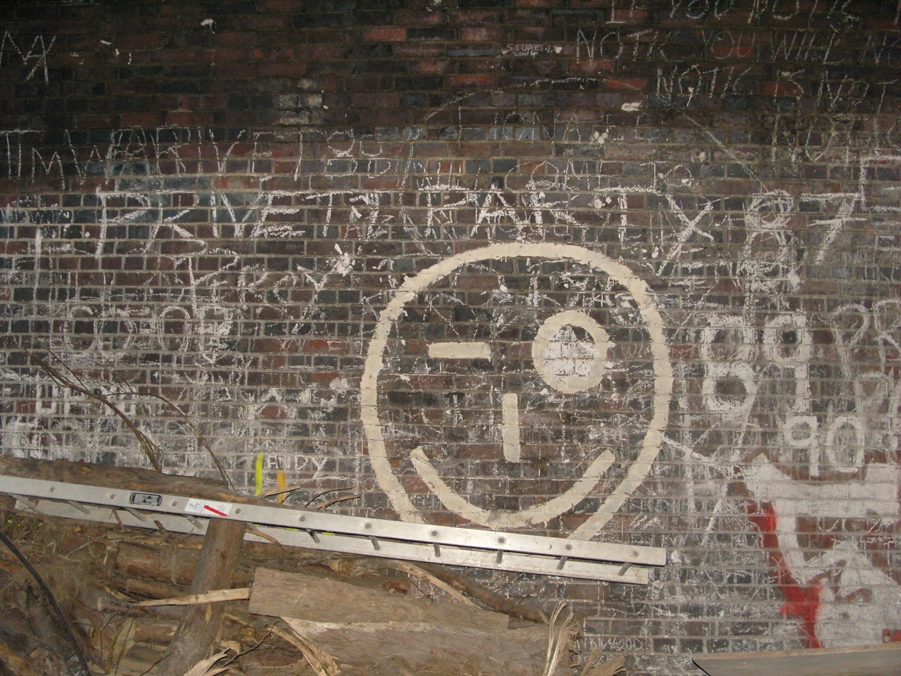
Varied textures, colours and crumbly brickwork of the road tunnel:


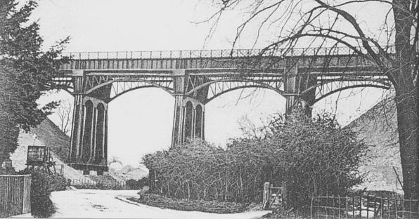
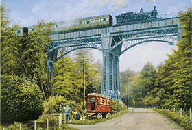
Finally, a romantic image of the viaduct, and a brand new station once upon a time:


51.036918
-1.105170


 Eastney Barracks 1870")
 Eastney Barracks 1870")
 Eastney Barracks 1866")


 Gunners Row Eastney 1865")
 Eastney 1865")

 Eastney 1865")


, Long Barracks Eastney 1865")
 Eastney 1865")


 Eastney 1865")
 Portsmouth 1862")

 Portsmouth 1862")
 1887")
 1887")

 Eastney 1887")

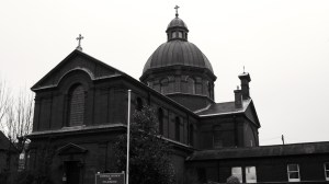
 Portsmouth Pumping Station 1865")


 Southsea 1906")
 Southsea 1906")
 Southsea 1906")
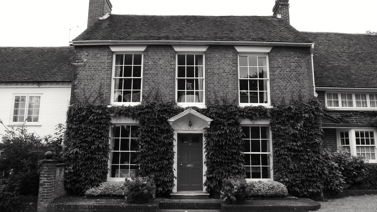


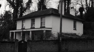
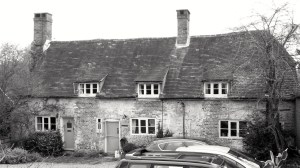
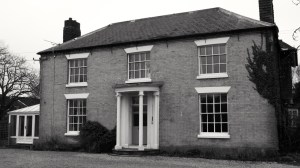
 Droxford C17")

 Droxford C18")


 Droxford C16-18")


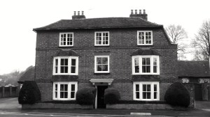
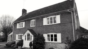
 Droxford 1848")
 Droxford 1848")


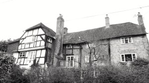
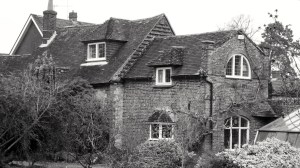
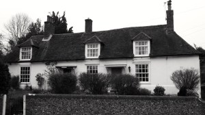
 Droxford C14-18")
 Droxford C14-18")
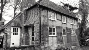
 Droxford C17-19")


 Portsmouth 1754")


 Portsmouth 1784, 1836")

 Queens St Portsmouth C19")
 84 and 85 Queens St Portsmouth C19")


 Bishop St Portsmouth 1850")


 Queens St Portsmouth C19")


 Bishop St Portsmouth 1850")


 Portsmouth 1846")
 Portsmouth University c1800")


 Gunwharf Portsmouth 1814")
 Gunwharf Portsmouth 1814")
 Gunwharf Portsmouth 1814")
 Gunwharf Portsmouth 1814")
 Gunwharf Portsmouth 1814")
 Gunwharf Portsmouth 1814")
 Gunwharf Portsmouth 1814")

 Gunwharf Portsmouth C18")


 1544")


 Southsea 1864")
 Southsea 1864")

 Southsea 1864")


 Southsea c1830-40 TE Owen")


 Southsea 1901")

 Southsea C19")


 Southsea 1907")
 Southsea 1907")
 Southsea 1907")

 Southsea c1900")
 Southsea c1900")
 Southsea 1928")
 Southsea 1882")
 Southsea 1882")

 Southsea 1910")

 Southsea 1902-24")


 Southsea 1860")

 Southsea 1860")
")

 (North) Villiers Rd Southsea 1853 (Owen)")
 Villiers Rd Southsea 1853 (Owen)")
")
")

 Villiers Rd Southsea 1854")


")


")
")
")
 Marmion Rd Southsea 1851")

")
 Queens Crescent Southsea 1847 (Owen)")
")
")
")

")
")
 Grove Rd South Southsea 1945 (Owen)")

")
 Grove Rd South Southsea 1851")
 Grove Rd South Southsea 1913")
")
")
 Grove Rd South Southsea 1850 (Owen)")
")
")
")
 Southsea 1851 (Owen)")
")
")
")
")
 Portland Terrace Southsea 1849")
")
 Southsea 1849 (Owen)")
 Southsea 1849 (Owen)")
 Southsea 1849 (Owen)")

")
 Queens Crescent Southsea 1895")

")
")
")
")
 Queens Crescent Southsea 1844 (Owen)")
")
")

")
")
 Kent Rd Southsea 1843 (Owen)")
")
 Kent Rd Southsea 1843 (Owen)")
")
")
")
")
")
")
")
")

")


 King St Southsea 1845")


 Landport Terrace Southsea C19")

 Landport Terrace Southsea C19")


 Portsmouth 1893")
 Portsmouth 1893")
 Portsmouth 1893")
 Portsmouth 1893")
 Portsmouth 1893")
 Portsmouth 1893")


 C12-20")
 C12-20")
 C12-20")


 Portsmouth c1212")


 Portsmouth c1212")


 (Rear) C19")


 High St Portsmouth C18")
 and 13 High St Portsmouth C18")
 High St Portsmouth C16-18")
 (Cambridge Barracks) c1855")
 (Cambridge Barracks) c1855")
 c1855")


 Lombard St Portsmouth C18")
 Lombard St Portsmouth C18")
 Lombard St Portsmouth C18")
 St Thomas St Portsmouth C17-18")

 Lombard St Portsmouth C17-18")
 St Thomas St Portsmouth C17-18")

 St Thomas St Portsmouth C18-19")
 St Thomas St Portsmouth C18")


 St Thomas St Portsmouth C18")


 and 62 St Thomas St Portsmouth C18")
 (Popinjays Warehouse) C16-18")
 C16-18")
 Portsmouth C15-19")


 Portsmouth C15-19")


 Broad St Portsmouth C18")


 Broad St Portsmouth C18")


 Portsmouth C19")
 Portsmouth C19")
 Portsmouth C19")
 Portsmouth C19")
 Portsmouth C19")

 Portsmouth 1754")
 Portsmouth 1754")


 Portsmouth 1806")
 Portsmouth C18")


 Broad St Alresford C18")
 Broad St Alresford C18")
 (North) Broad St Alresford C19")


 Broad St Alresford C18")
 Broad St Alresford C18-19")


 Broad St Alresford C19")
 Broad St Alresford C19")
 Broad St Alresford C18-19")


 Broad St Alresford C18-19")


 Alresford C17")
 Alresford C17")
 Alresford 1840")


 C18-20")


")

")


")

")

")


")

")


 East St Alresford C19")


")

")


 The Spain Petersfield C19")


 The Spain Petersfield C16-18")