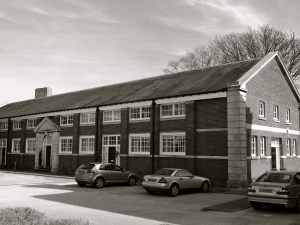
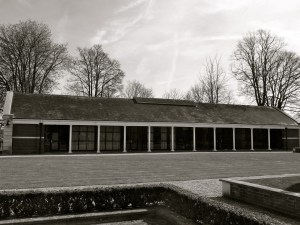
Due for completion in July this year, work on the pavilions is really moving forward, with most of the major construction work completed. Currently the verandahs and walkways are being built in a horseshoe, linking the seven buildings with boardwalks.
The pavilions are heated using a geothermal system. Deep down, the temperature is a constant 14 degrees C year round. Installed by a local company using the most efficient technique for heating, it uses a multiplier to build the heat enough for hot water and underfloor heating. A heat exchanger will circulate the warm air. The pavilions are highly insulated using paper pulp in the walls and polystyrene under the floor. The windows and patio doors are triple glazed, made in Sweden.
Each pavilion is for accommodation, with shared kitchen spaces. Two will be for students only, one for staff only, and the others a mix of students, mature students and staff. The staff pavilion has two flats, each with two bedrooms, designed for those staff with a family.
I’m looking forward to seeing the project move toward completion in the coming months, with the interior fittings, walkways and landscaping.
51.036918
-1.105170


 College St Petersfield C19")


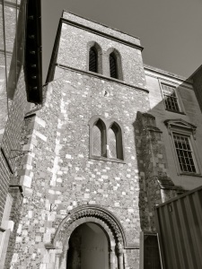
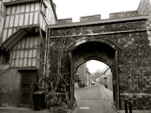
 C12")


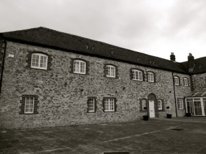
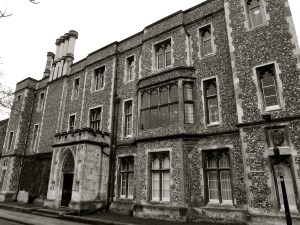
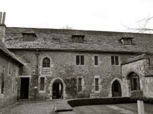
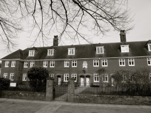
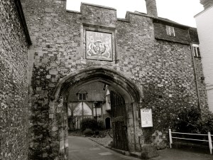
 (South) Winchester 1900")


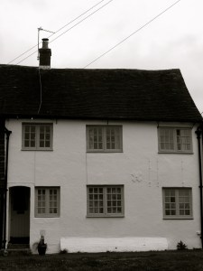
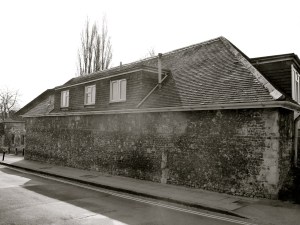
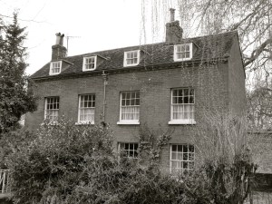
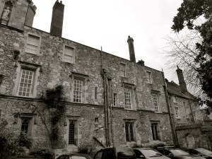
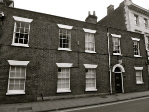
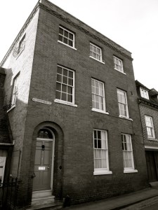
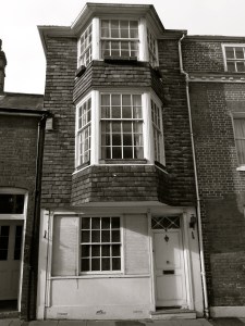
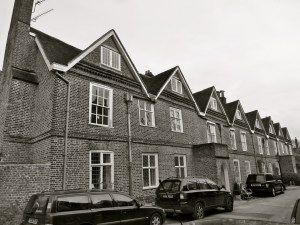
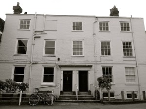
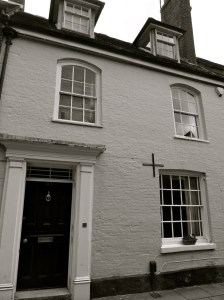
 Winchester C18")

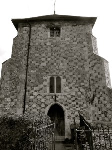


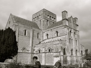
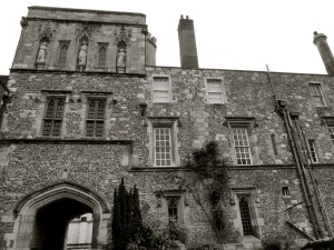
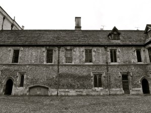
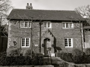
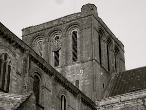
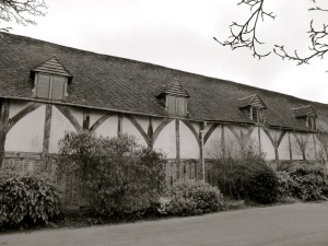
 1684 (Chapel C15)")
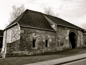
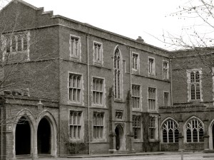
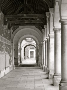
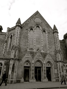
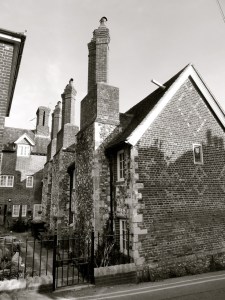
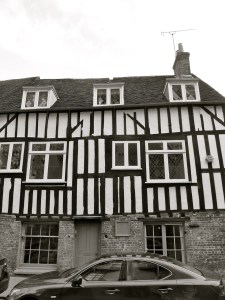
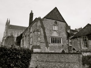
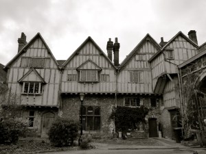
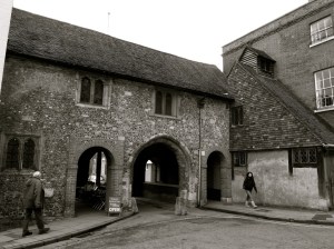
 Winchester College C14")


")


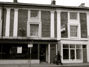


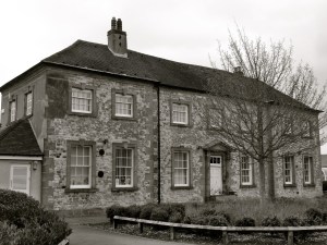
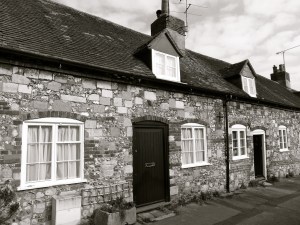
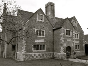
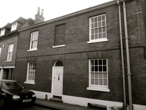
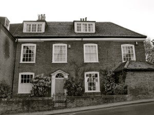
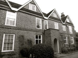
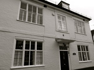
 Winchester C18")


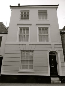


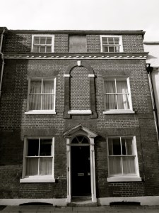


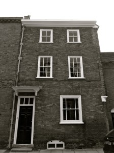


, Winchester, C18")