Lakpa Rita, the top sherpa for Seattle-based Alpine Ascents, was the first to see it. Just visible in the glow of his frost-covered headlamp, a body dangled from a fixed line. This was the second corpse his team had met on their overnight summit bid.
It was 4:30 a.m. on May 20, just beyond Everest’s South Summit, the dramatic rise and dip at 28,700 feet where climbers swap in fresh oxygen cylinders for the final push to the top. The frozen body hung from a line strung along the knife-edge ridge that leads to the Hillary Step, a 40-foot cliff 100 feet below the summit. Lakpa Rita, 47, and Garrett Madison, 33, the company’s head guide, paused to consider the unfortunate soul for a moment. The wind whipped by at nearly gale force. The sun, still below the horizon, barely brightened the fierce lenticular cloud that wrapped the upper mountain.
In tight formation with Madison and Lakpa Rita were six clients from the U.S., Britain, and Australia, a third guide, 46-year-old Jose Luis Peralvo of Ecuador, and six veteran climbing Sherpas. Later they would learn that the dead man was a German doctor named Eberhard Schaaf, who’d arrived at the summit the previous afternoon. Schaaf, 61, was guided by two Sherpas from a Nepal-based outfitter called Asian Trekking, and he likely succumbed to cerebral edema during his descent. The Sherpas had stayed with him for hours before one and then the other left to save themselves.
Madison’s group had avoided the crowds by going up on the night of the 19th, in worsening weather. For them, Schaaf presented a different kind of problem: he was blocking the way. “Lakpa went up and cut him off the fixed line,” Madison recalls. Schaaf’s body tumbled 15 feet down Everest’s southwest face, stopping among some rocks.
All night, the Alpine Ascents group had met with the carnage of the previous day, when four climbers died along the 29,035-foot mountain’s most popular route—the Southeast Ridge, which ascends the Nepalese side from the foot of the Khumbu Glacier. In addition to Schaaf, they were Nepali-Canadian Shriya Shah, 33, Korean Song Won-bin, 44, and Chinese Ha Wenyi, 55. There were other fatalities as well—two on the mountain’s north side and four earlier in the season—along with serious injuries that resulted in roughly two dozen helicopter evacuations. In all, 10 people perished on Everest in April and May of 2012, making it the third deadliest spring season on record, behind 1996’s total of 12 and 2006’s total of 11.
The Alpine Ascents team encountered all four of the doomed May 19 climbers on its way up, either dead (Schaaf and Shah), too far gone to rescue (Song), or not yet in distress (Ha). Had Madison and Lakpa Rita believed they could help Song, they would have been duty-bound to try. “Since there was nothing we could do,” client Rob Sobecki later blogged, “we carried on climbing upwards.”
In the days that followed, the international media would seize upon these deaths as the latest proof of a now familiar claim: that the climbing scene on Everest is out of control. Flocks of ill-prepared novices were crowding into Base Camp, paying outfitters between $30,000 and $120,000 for what, to a lot of sane people, looked like assisted suicide.
Comparisons between this single-day tragedy and the one that claimed the lives of five clients and three guides in 1996—and led to Outside’s publication of Jon Krakauer’s “Into Thin Air”—were on the lips of commentators from CNN to NPR. Even in the climbing community, which is still deeply divided by the differing accounts of the 1996 episode, people began to ask: Has anything changed?
I was embedded on Everest with a team of climbers, the four Americans of the Eddie Bauer First Ascent West Ridge expedition: David Morton, Jake Norton, Charley Mace, and Brent Bishop. Unlike Krakauer in ’96, I wasn’t trying to climb the mountain, which left me free to roam Base Camp reporting on the season’s events.
What I saw was a situation that resembled ’96 in some respects but in most ways did not. As happened back then, some of the 2012 teams lost precious time waiting in long lines in the Death Zone, above 26,000 feet, and summited too late in the day. But 2012’s victims weren’t caught by a freak, fast-moving storm. Their deaths were the result of exhaustion, climbing too slowly, ignoring serious altitude sickness, and refusing to turn around—which is to say, the steady toll of human error. Nobody was killed by the mountain’s roulette wheel of hazards such as rockfall, avalanches, and blizzards.
This matters because it points to a new status quo on Everest: the routinization of high-altitude death. By and large, the people running the show these days on the south side of Everest—the professional guides, climbing Sherpas, and Nepali officials who control permits—do an excellent job of getting climbers to the top and down again. Indeed, a week after this year’s blowup, another hundred people summited on a single bluebird day, without a single death or serious injury.
But that doesn’t mean Everest is being run rationally. There are no prerequisites for how much experience would-be climbers must have and no rules to say who can be an outfitter. Many of the best alpinists in the world still show up in Base Camp every spring. But, increasingly, so do untrained, unfit people who’ve decided to try their hand at climbing and believe that Everest is the most exciting place to start. And while some of the more established outfitters might turn them away, novices are actively courted by cut-rate start-up companies that aren’t about to refuse the cash.
It’s a recipe that doesn’t require a storm to kill people. In this regard, things are much different now than in the past: they’re worse.


 College St Petersfield C19")


 C12")


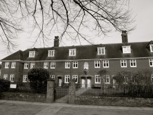
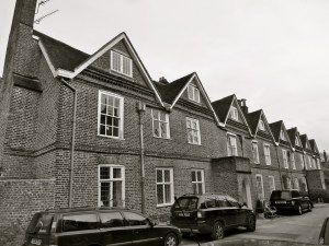
 (South) Winchester 1900")


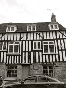
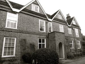
 Winchester C18")


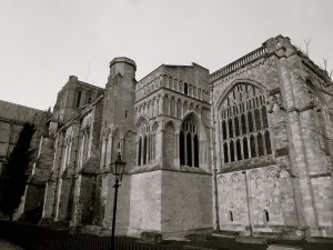
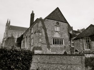
 1684 (Chapel C15)")
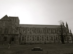
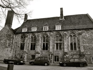
 Winchester College C14")


")


 Winchester C18")


, Winchester, C18")


