Woke at seven after going to sleep just after eleven.
Deep dreams these nights. Scenarios that last and last. I can’t leave them, even if I want to, and last nights was a continual getting ready to leave a hotel-like place, or maybe a hall of residence. But I was too drunk. Or disorganised. Long time periods would pass and I’d done nothing at all to prepare.
Sitting this morning was uneventful. Some unsettledness was close by, so I moved towards it, yet most of the time all was lost in little thought stories. However, a sense of deepening stillness behind the thinking bubbles. Sat in half lotus some of the time but soon got pins and needles so back to both feet on the ground, one leg slightly in front of the other, so that neither leg weighs on the other.
A simple yoga sequence today after the long review of poses yesterday. Shoulder stand, plough, forward bend. Repeat. Sit quietly. And that’s it. Some nervy sensations back of the neck. The flaw in today’s routine – straight into the shoulder stand with no warm ups. I should know that this isn’t a good idea, especially with my prone to be stiff neck, so suffering all day from very stiff trapezius both sides.
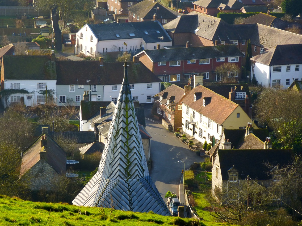
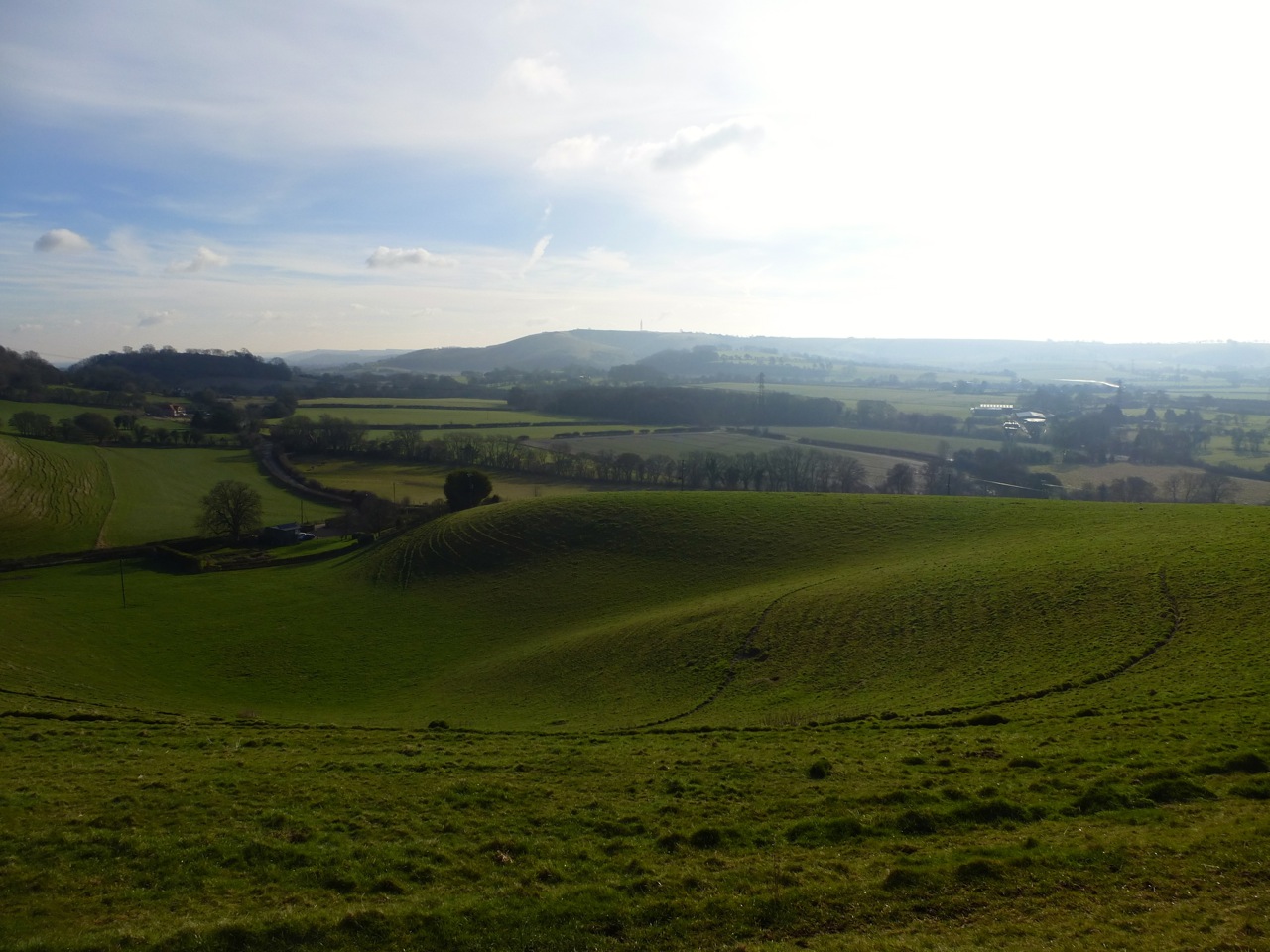
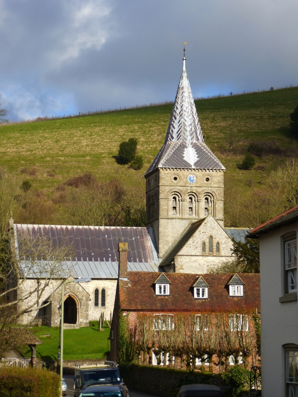
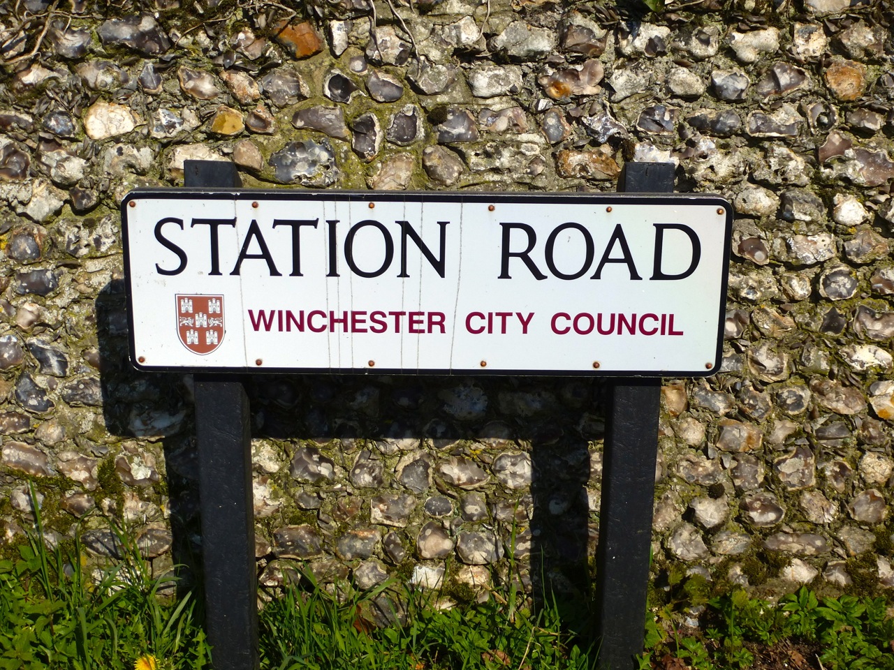
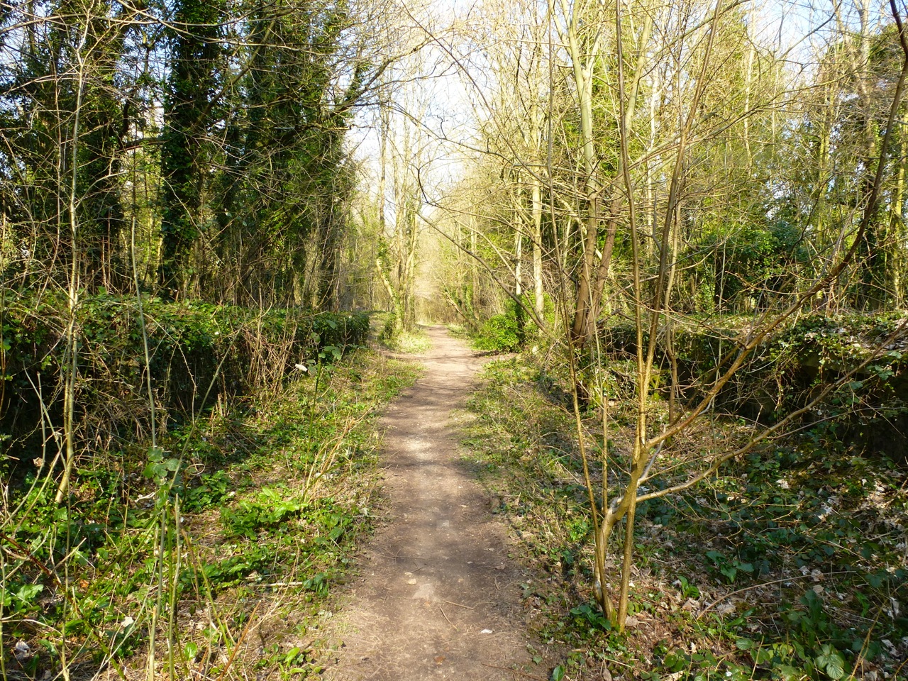
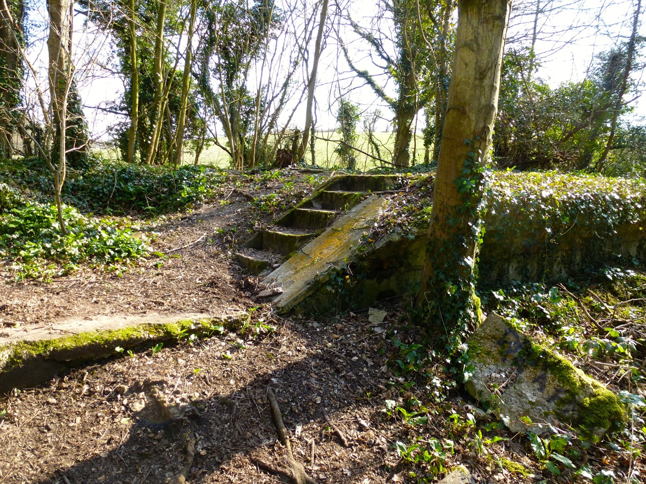
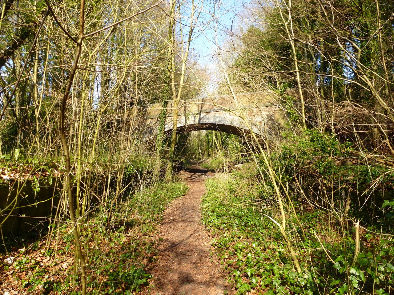
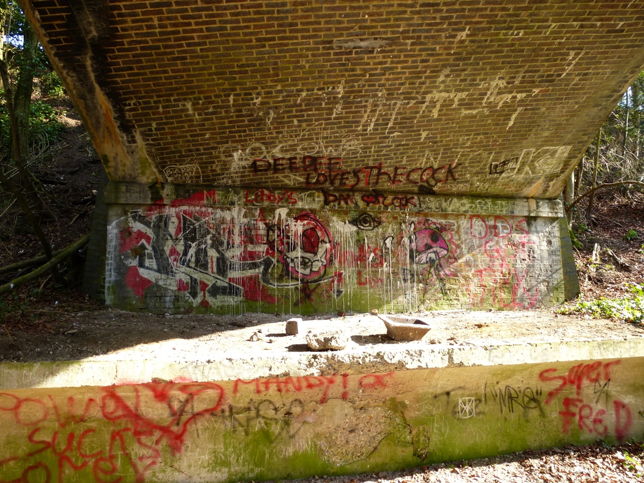
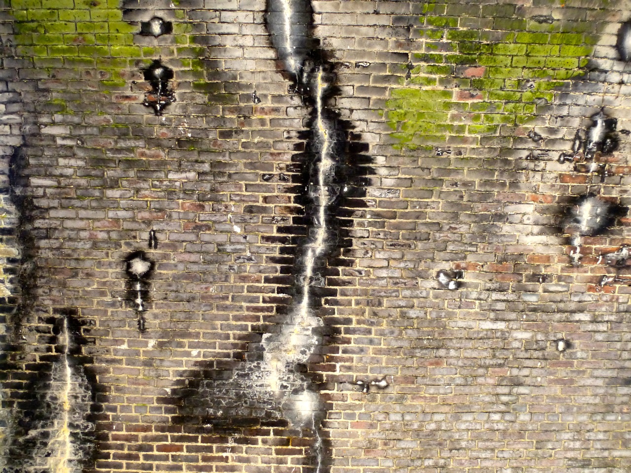
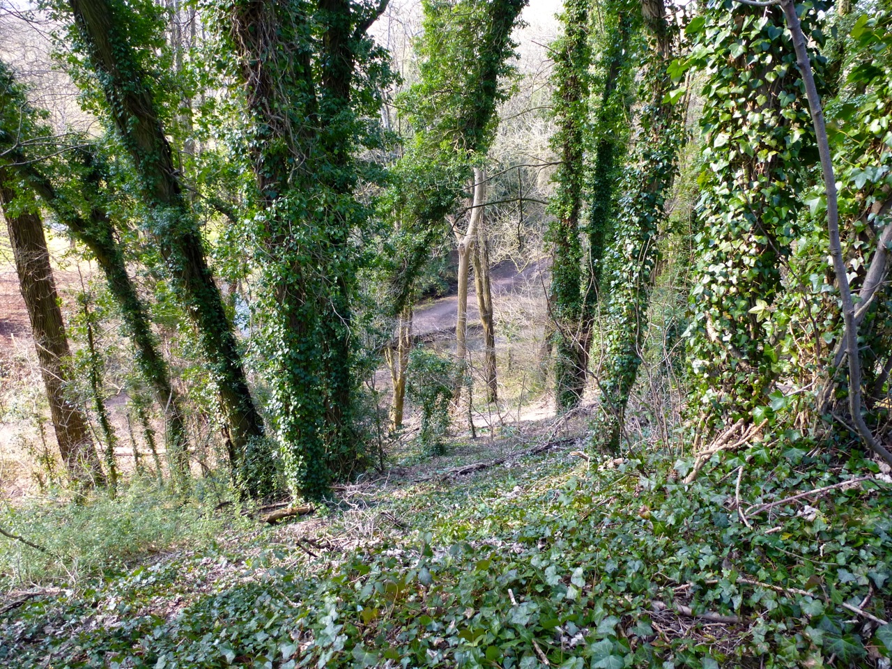
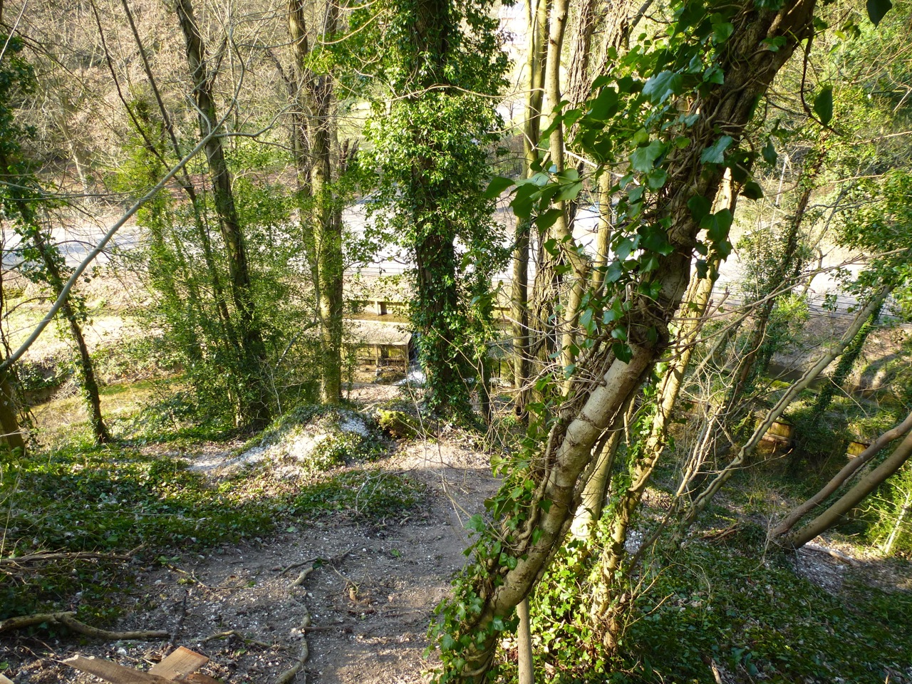
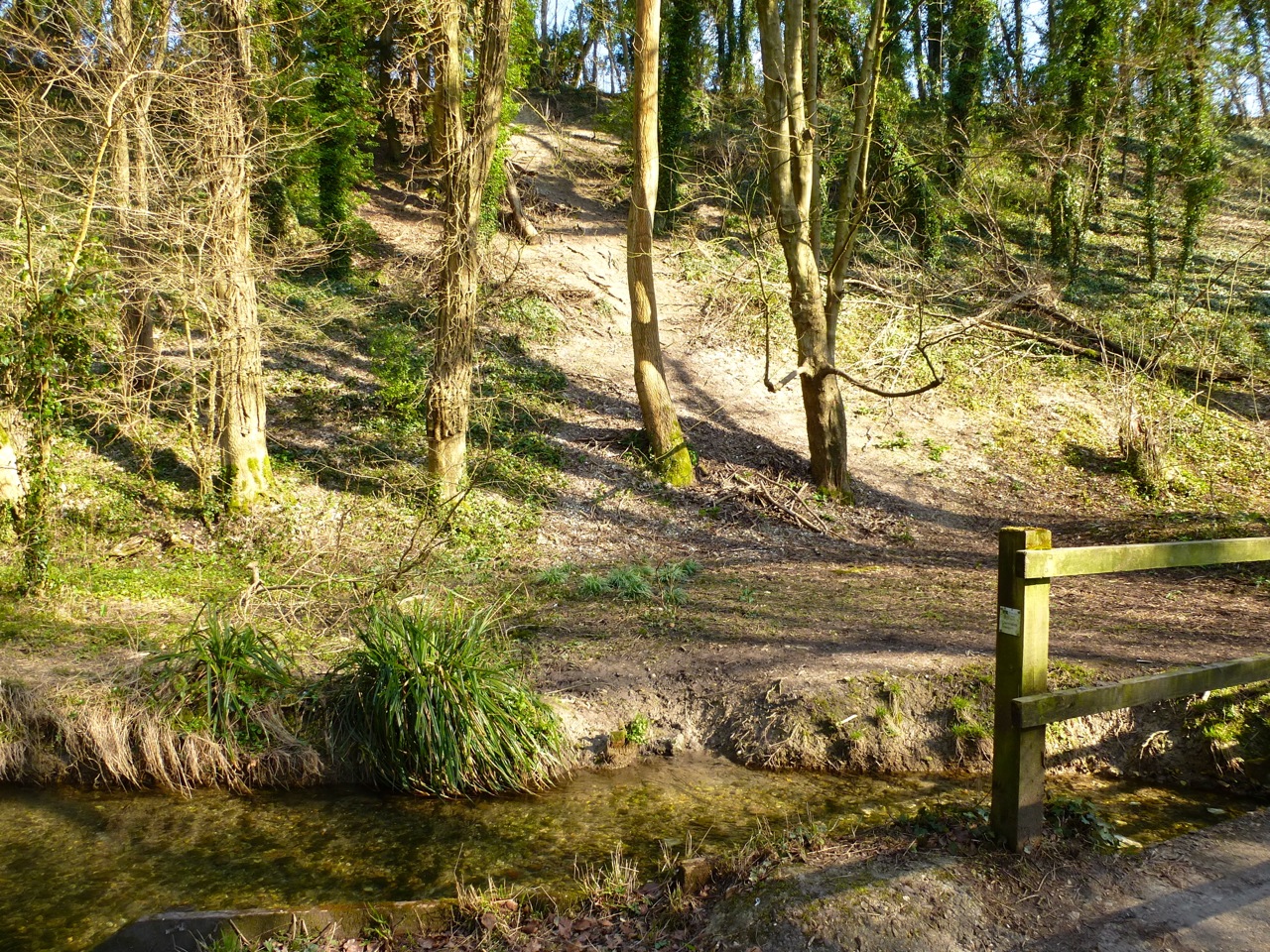
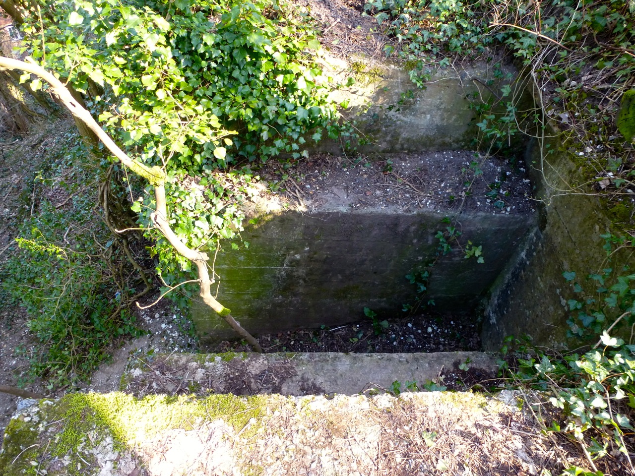
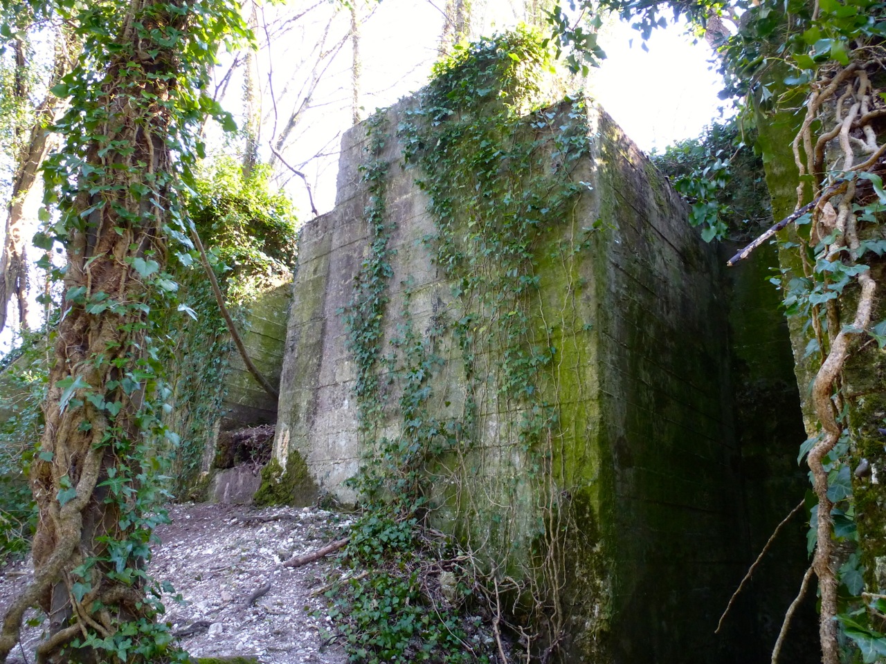
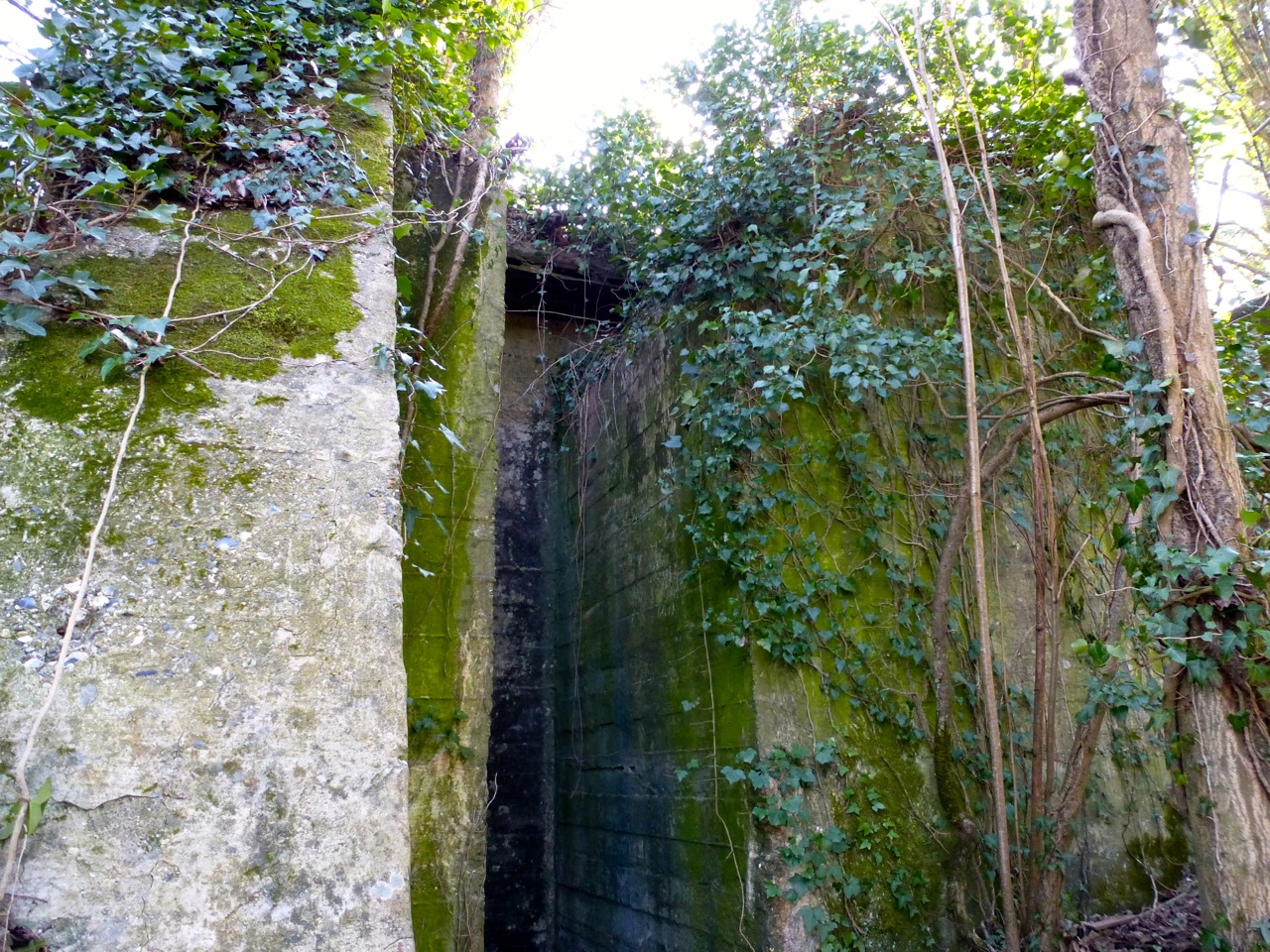
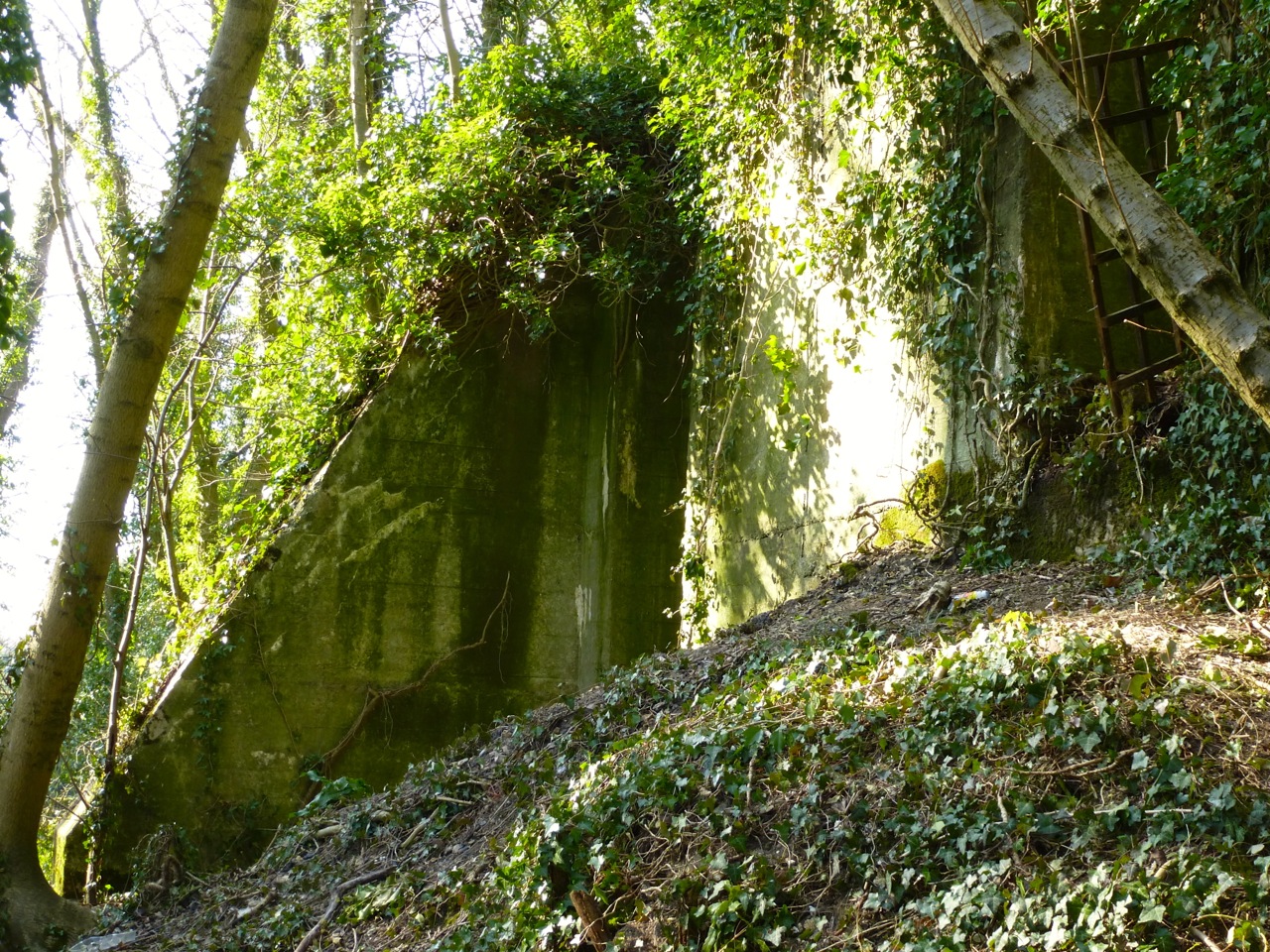
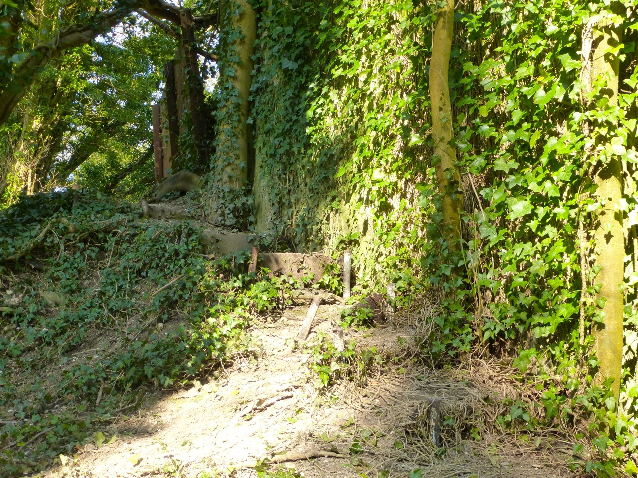
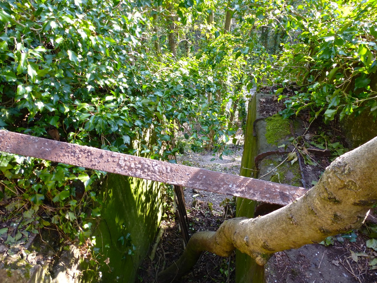
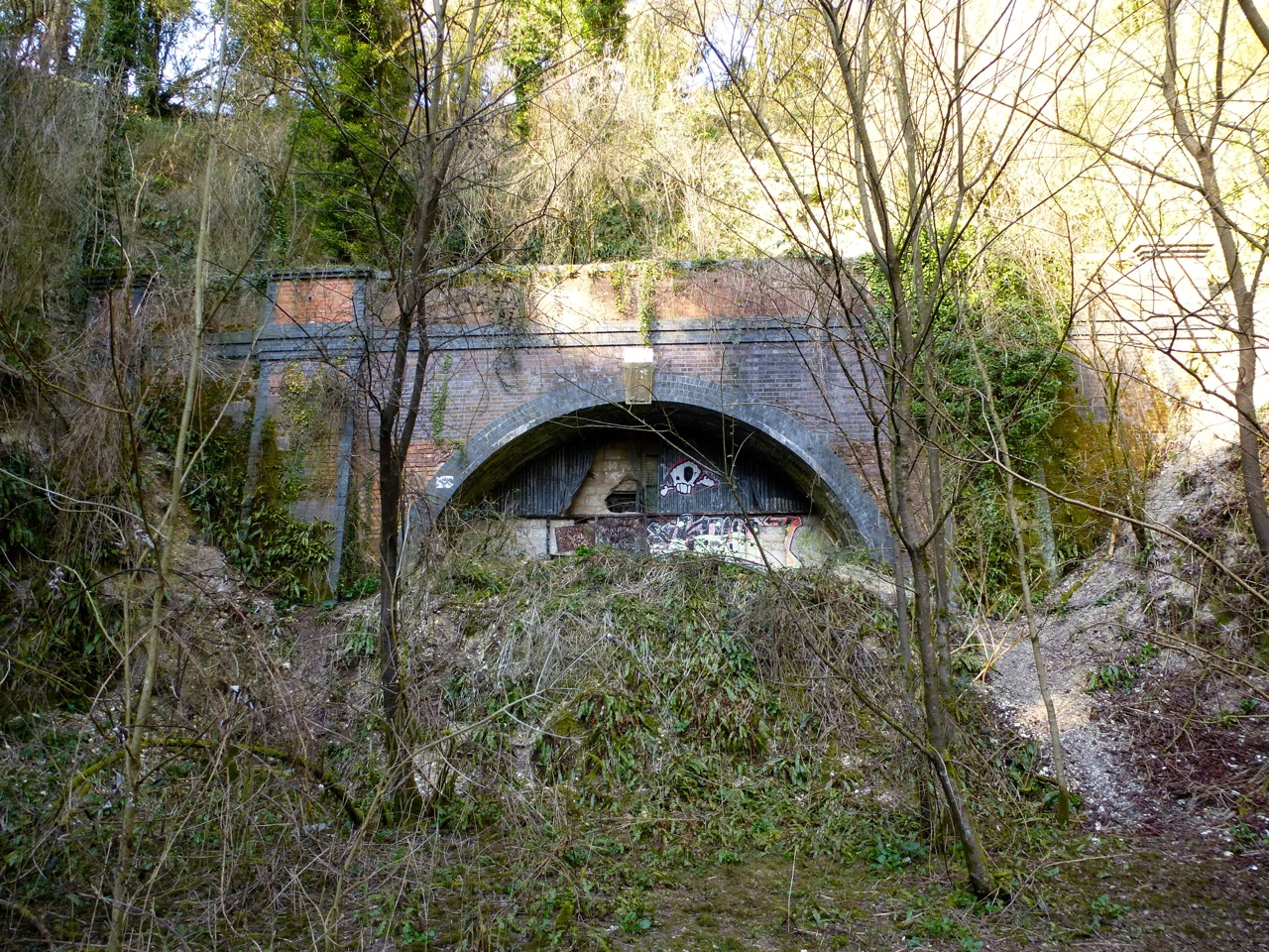
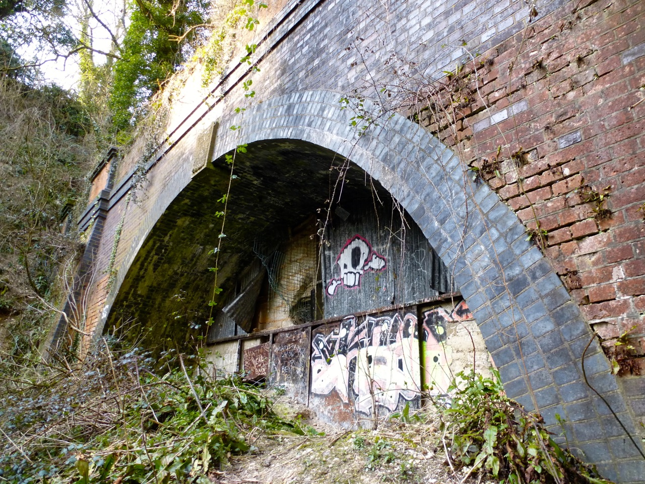
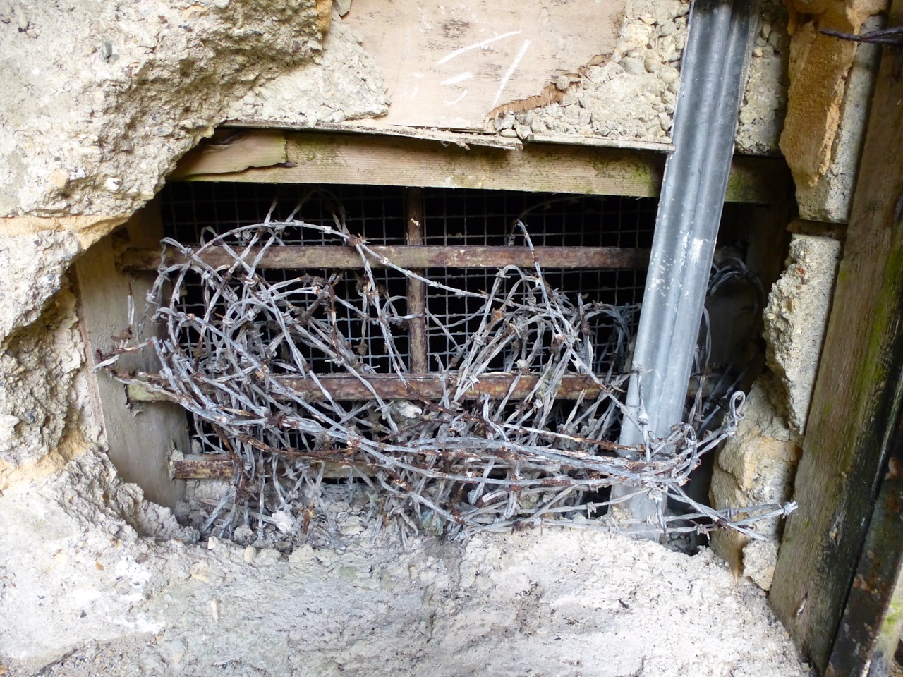
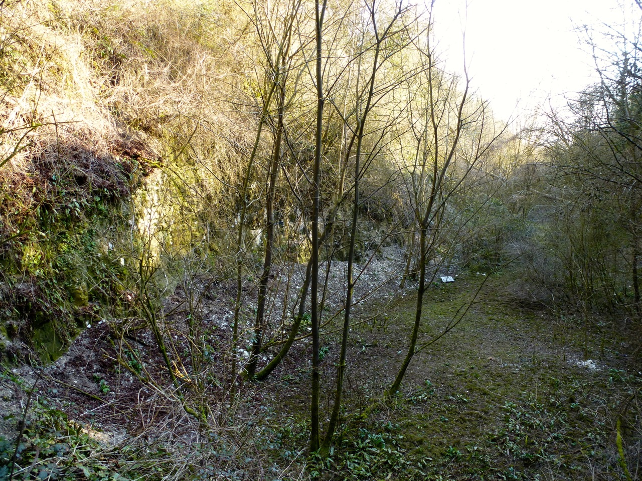
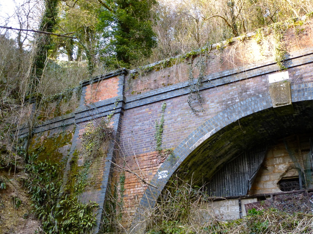
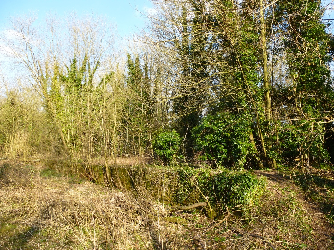
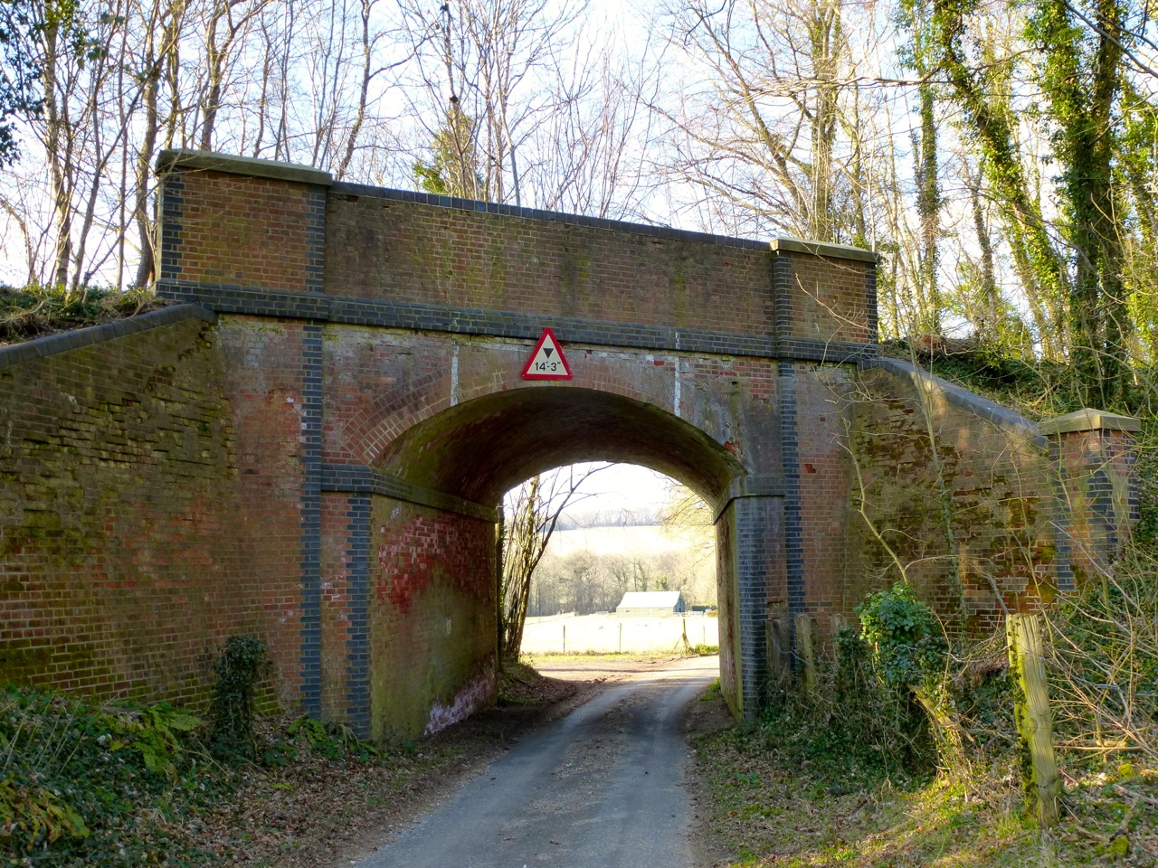
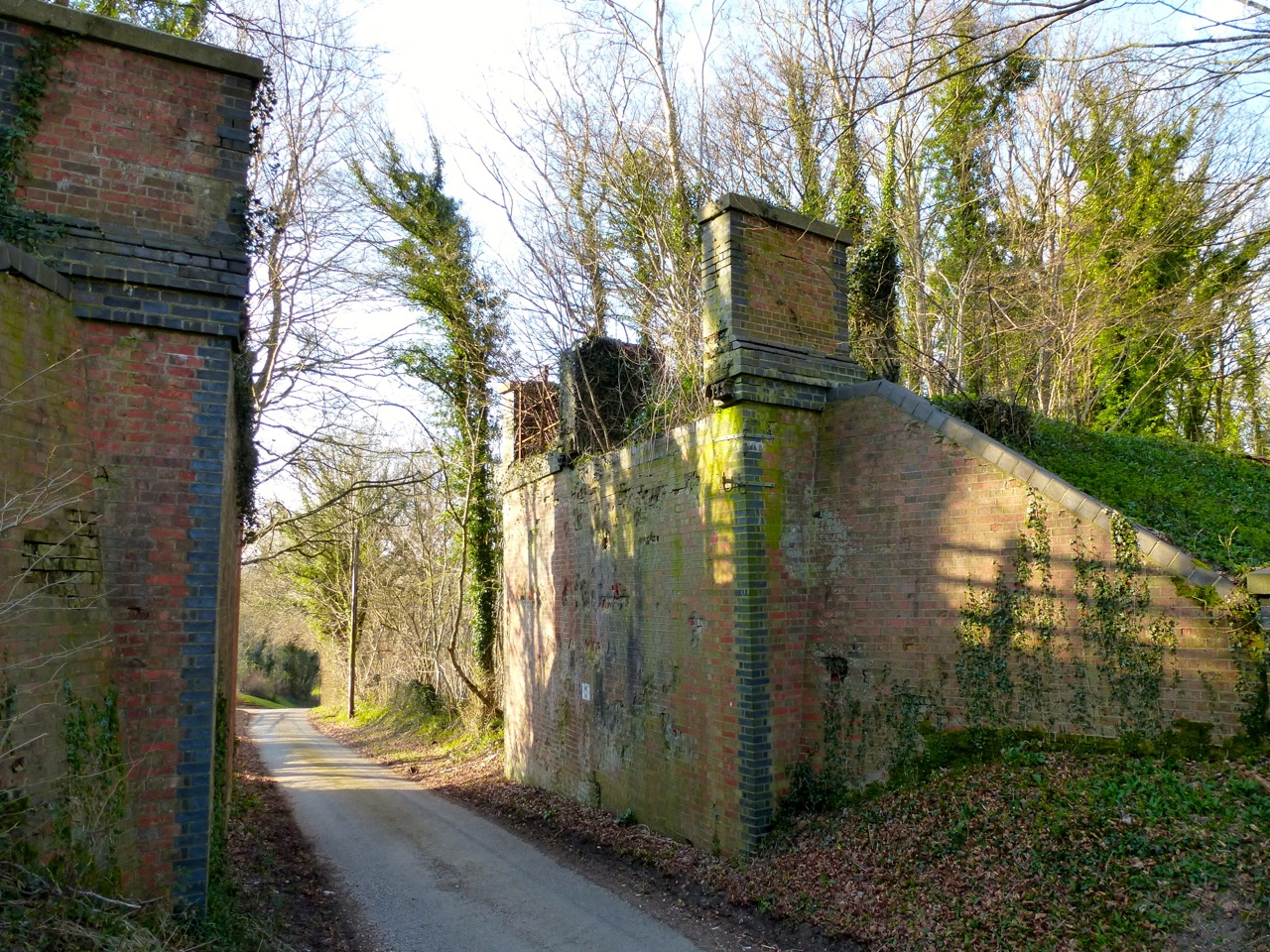
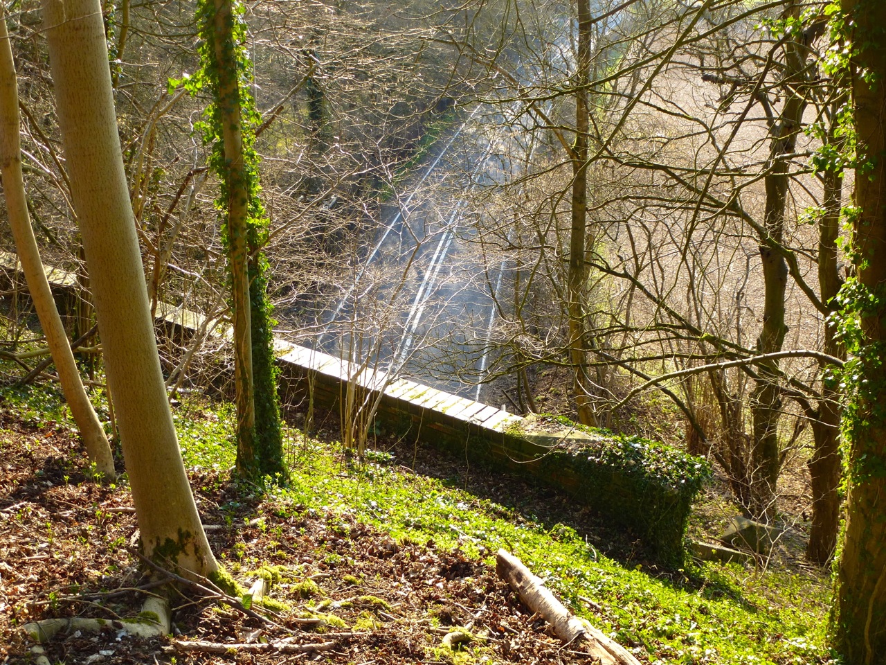
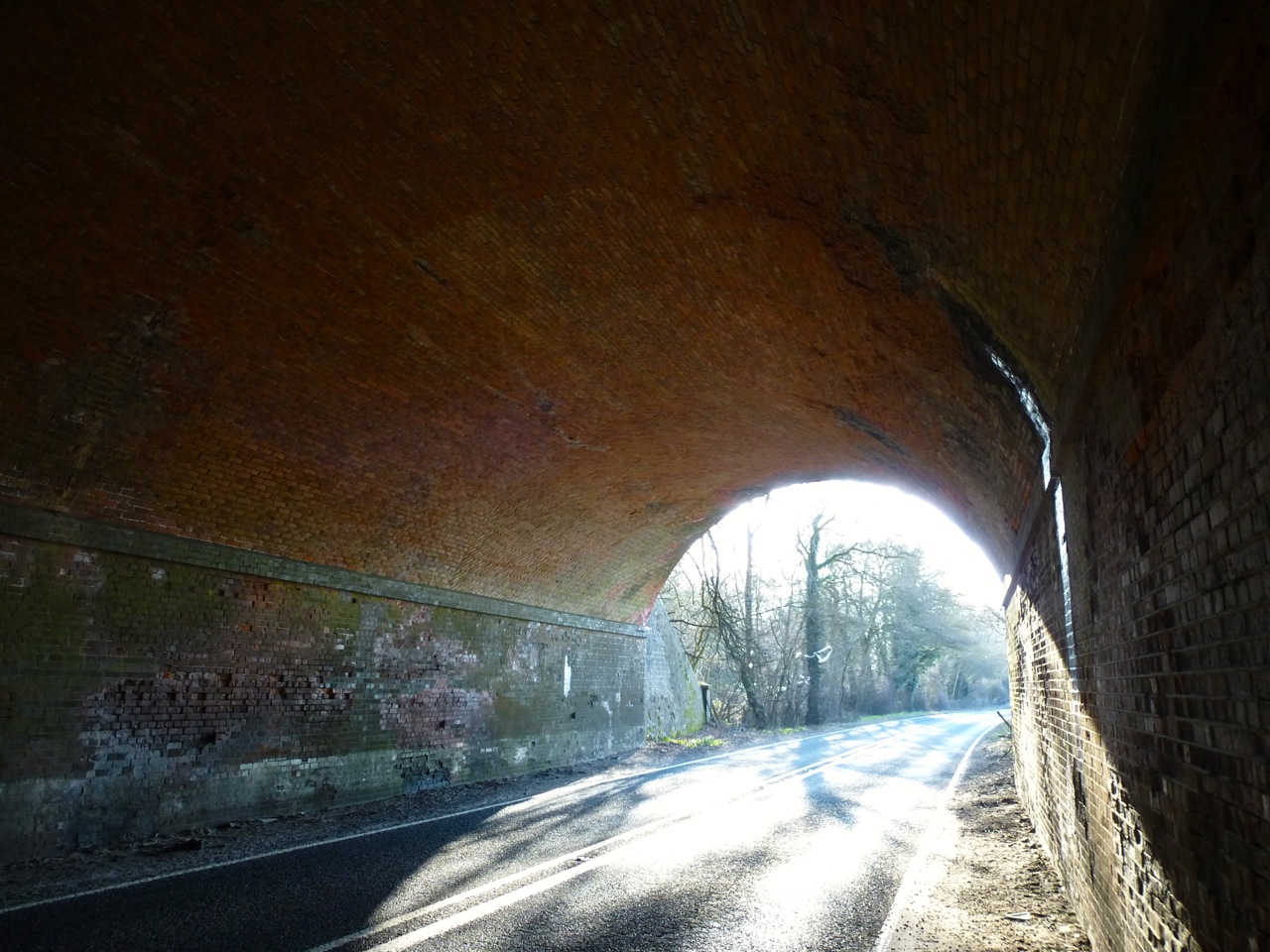
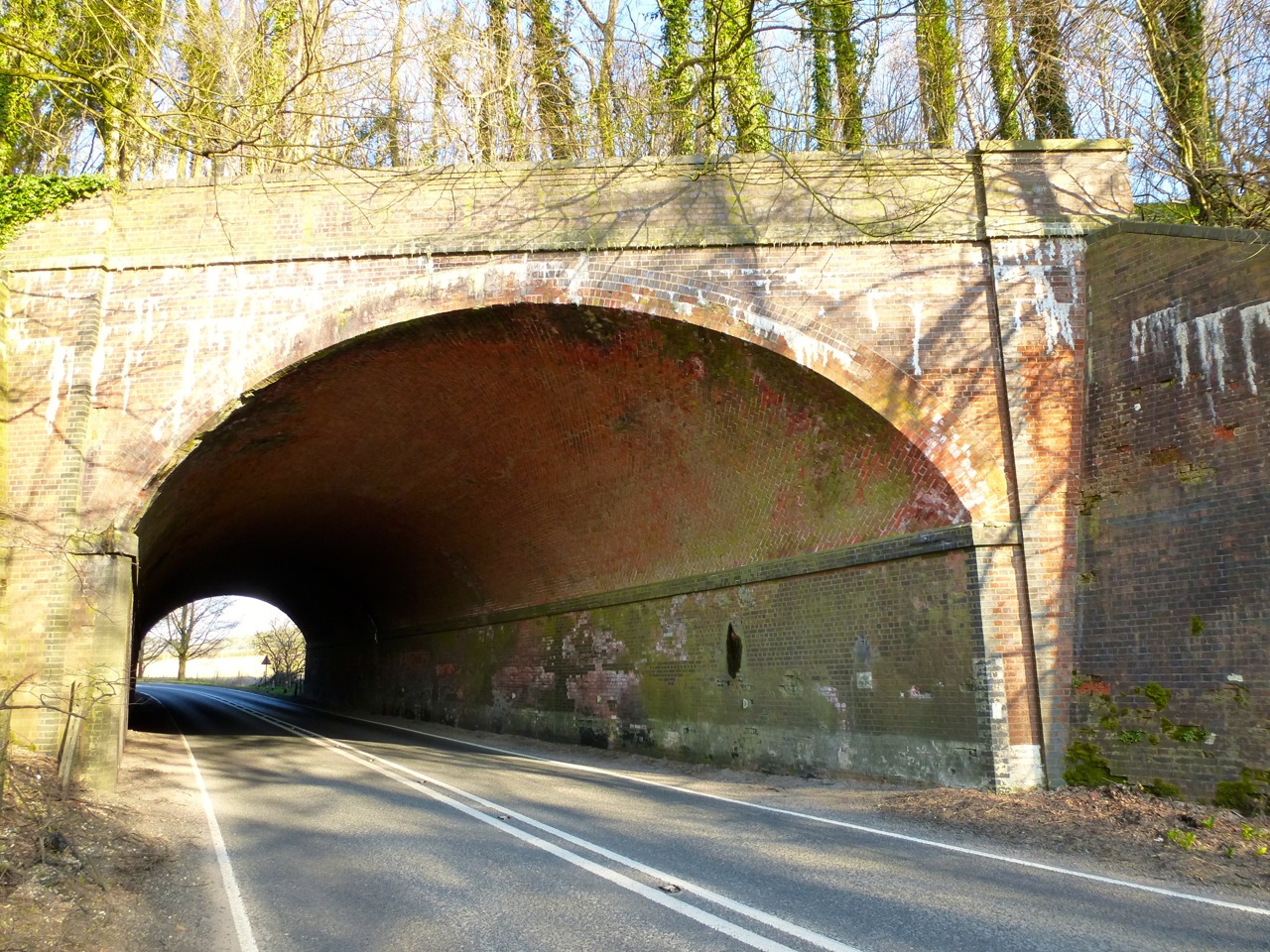
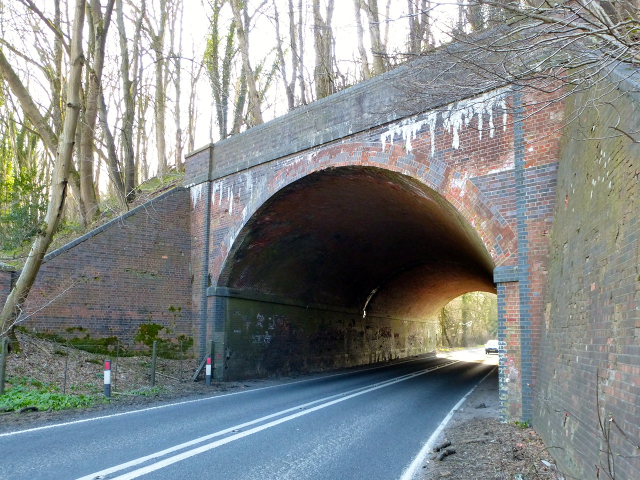
Then an open day with absolutely no plans. Put together the walk video from yesterday:
A nap before lunch. A shortish walk with C in the afternoon, laughing together at many things. Otherwise, listening to music, and looking at suggestions from this Reddit post: What’s the one song you’d recommend for someone to listen to to get into your music genre? Most interesting for me was the chill wave, underground jazz hip hop and the chillstep. Watched some elephants on the telly. Incredible creatures! To bed early to continue reading the 60s yoga book.

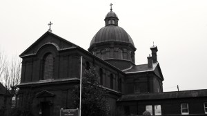
 Portsmouth 1754")


 Portsmouth 1784, 1836")

 Queens St Portsmouth C19")
 84 and 85 Queens St Portsmouth C19")


 Bishop St Portsmouth 1850")


 Queens St Portsmouth C19")


 Bishop St Portsmouth 1850")


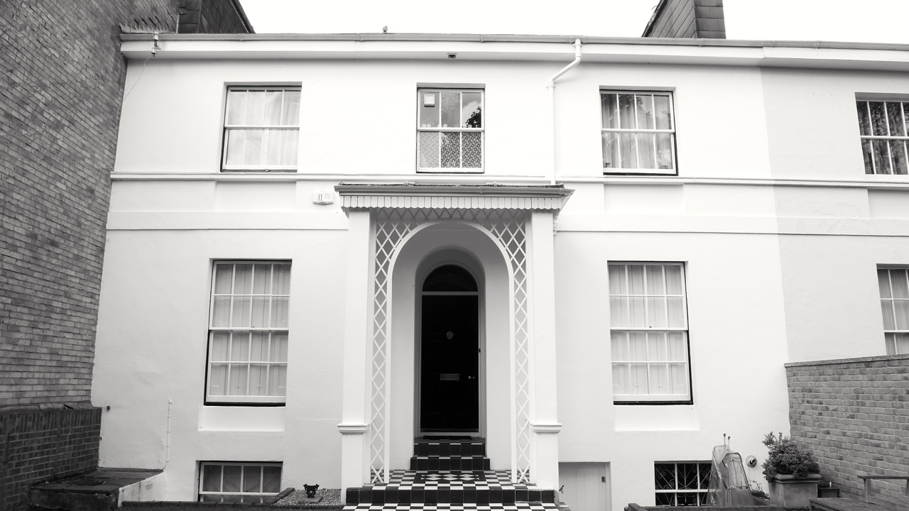
 Portsmouth 1846")
 Portsmouth University c1800")


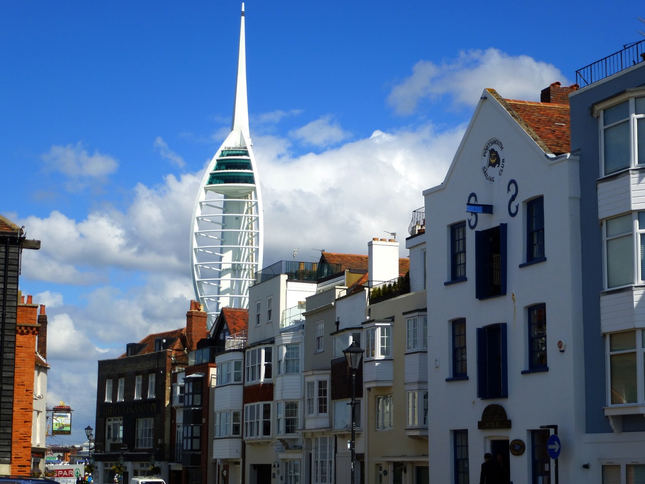
 Gunwharf Portsmouth 1814")
 Gunwharf Portsmouth 1814")
 Gunwharf Portsmouth 1814")
 Gunwharf Portsmouth 1814")
 Gunwharf Portsmouth 1814")
 Gunwharf Portsmouth 1814")
 Gunwharf Portsmouth 1814")

 Gunwharf Portsmouth C18")


 1544")


 Southsea 1864")
 Southsea 1864")

 Southsea 1864")


 Southsea c1830-40 TE Owen")


 Southsea 1901")

 Southsea C19")


 Southsea 1907")
 Southsea 1907")
 Southsea 1907")

 Southsea c1900")
 Southsea c1900")
 Southsea 1928")
 Southsea 1882")
 Southsea 1882")

 Southsea 1910")

 Southsea 1902-24")


 Southsea 1860")

 Southsea 1860")
")

 (North) Villiers Rd Southsea 1853 (Owen)")
 Villiers Rd Southsea 1853 (Owen)")
")
")

 Villiers Rd Southsea 1854")


")


")
")
")
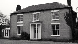
 Marmion Rd Southsea 1851")

")
 Queens Crescent Southsea 1847 (Owen)")
")
")
")

")
")
 Grove Rd South Southsea 1945 (Owen)")

")
 Grove Rd South Southsea 1851")
 Grove Rd South Southsea 1913")
")
")
 Grove Rd South Southsea 1850 (Owen)")
")
")
")
 Southsea 1851 (Owen)")
")
")
")
")
 Portland Terrace Southsea 1849")
")
 Southsea 1849 (Owen)")
 Southsea 1849 (Owen)")
 Southsea 1849 (Owen)")

")
 Queens Crescent Southsea 1895")

")
")
")
")
 Queens Crescent Southsea 1844 (Owen)")
")
")

")
")
 Kent Rd Southsea 1843 (Owen)")
")
 Kent Rd Southsea 1843 (Owen)")
")
")
")
")
")
")
")
")

")


 King St Southsea 1845")


 Landport Terrace Southsea C19")

 Landport Terrace Southsea C19")


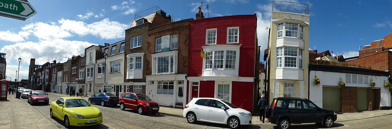
 Portsmouth 1893")
 Portsmouth 1893")
 Portsmouth 1893")
 Portsmouth 1893")
 Portsmouth 1893")
 Portsmouth 1893")


 C12-20")
 C12-20")
 C12-20")


 Portsmouth c1212")


 Portsmouth c1212")


 (Rear) C19")


 High St Portsmouth C18")
 and 13 High St Portsmouth C18")
 High St Portsmouth C16-18")
 (Cambridge Barracks) c1855")
 (Cambridge Barracks) c1855")
 c1855")


 Lombard St Portsmouth C18")
 Lombard St Portsmouth C18")
 Lombard St Portsmouth C18")
 St Thomas St Portsmouth C17-18")

 Lombard St Portsmouth C17-18")
 St Thomas St Portsmouth C17-18")

 St Thomas St Portsmouth C18-19")
 St Thomas St Portsmouth C18")


 St Thomas St Portsmouth C18")


 and 62 St Thomas St Portsmouth C18")
 (Popinjays Warehouse) C16-18")
 C16-18")
 Portsmouth C15-19")


 Portsmouth C15-19")


 Broad St Portsmouth C18")


 Broad St Portsmouth C18")


 Portsmouth C19")
 Portsmouth C19")
 Portsmouth C19")
 Portsmouth C19")
 Portsmouth C19")

 Portsmouth 1754")
 Portsmouth 1754")


 Portsmouth 1806")
 Portsmouth C18")


 Broad St Alresford C18")
 Broad St Alresford C18")
 (North) Broad St Alresford C19")


 Broad St Alresford C18")
 Broad St Alresford C18-19")


 Broad St Alresford C19")
 Broad St Alresford C19")
 Broad St Alresford C18-19")


 Broad St Alresford C18-19")


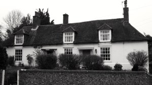
 Alresford C17")
 Alresford C17")
 Alresford 1840")


 C18-20")


")

")


")

")

")


")

")


 East St Alresford C19")


")

")


 The Spain Petersfield C19")


 The Spain Petersfield C16-18")