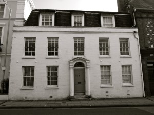
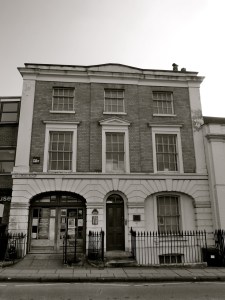
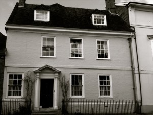
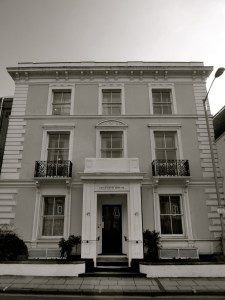
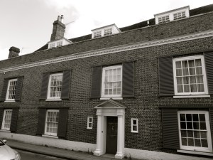
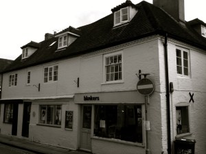
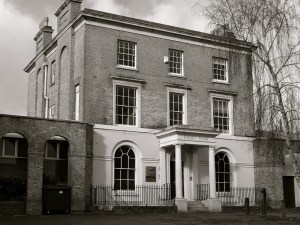
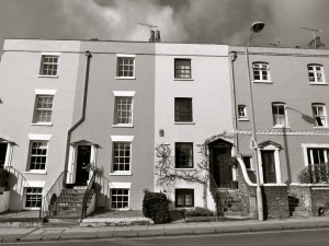
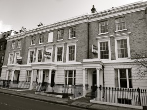
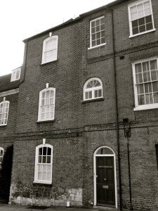
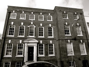
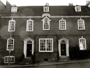
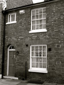
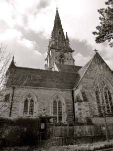
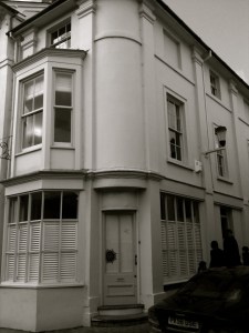
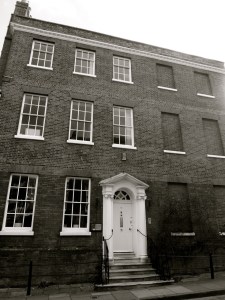
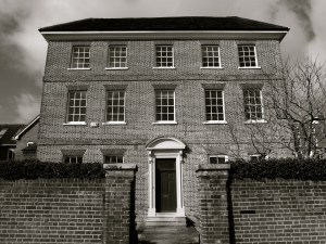
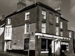
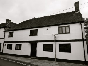
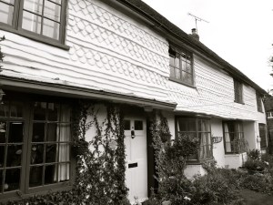
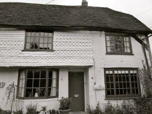
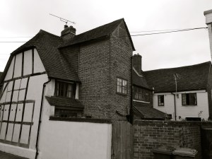
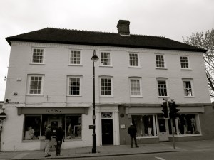
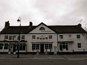
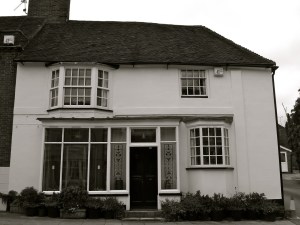
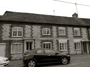
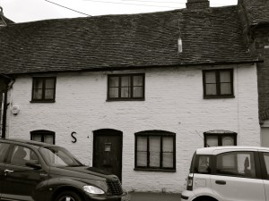
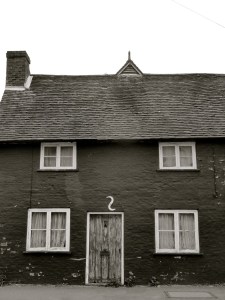
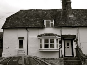
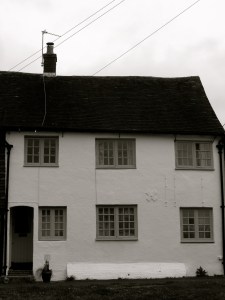
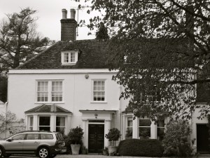
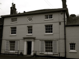
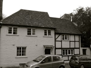
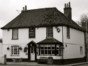
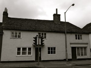
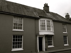
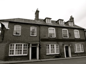
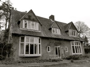
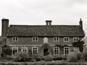
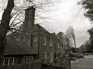
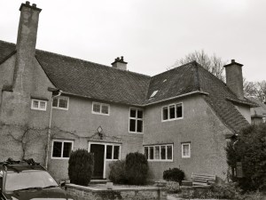
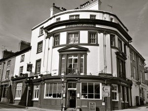
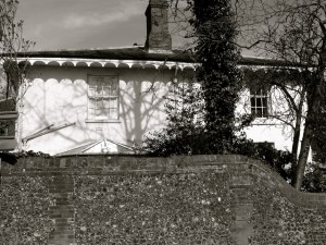
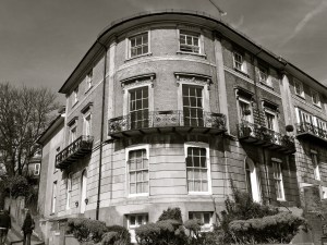
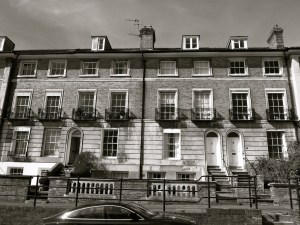
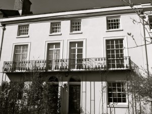
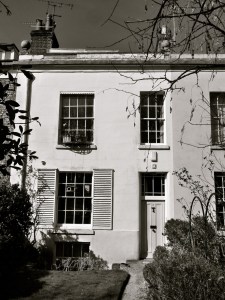
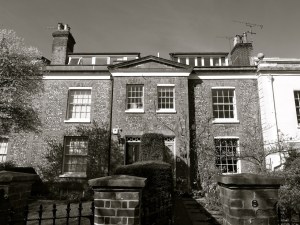
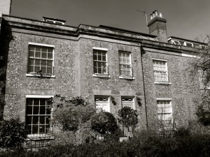
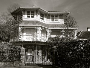
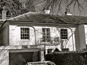
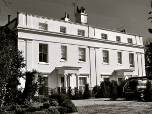
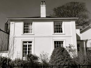
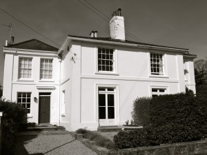
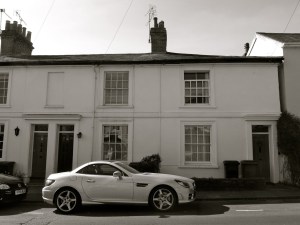
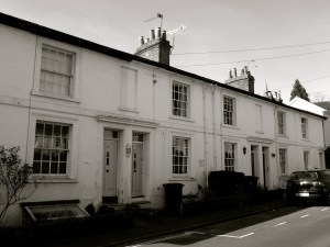
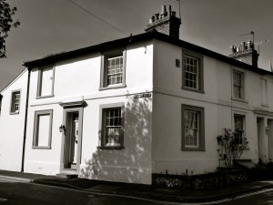
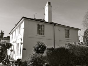
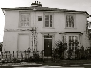
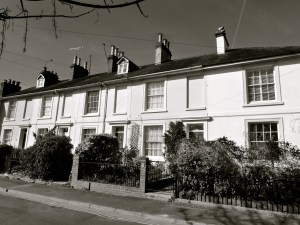
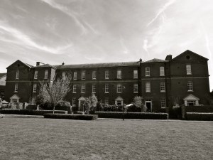
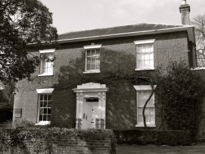
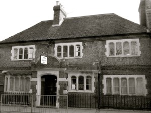
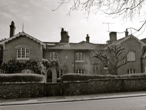
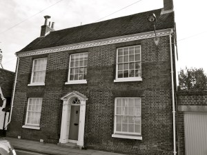
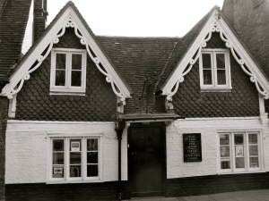
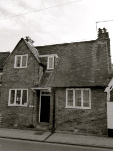
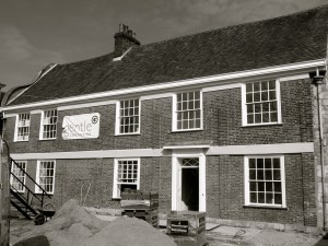
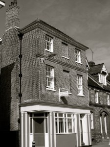
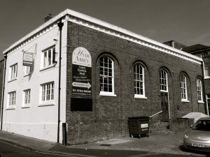
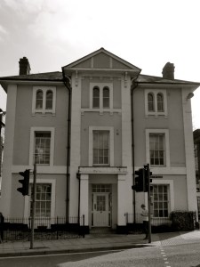
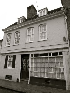
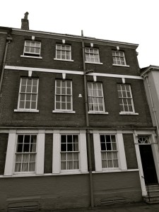
Petersfield is a market town 18 miles north of Portsmouth and about 20 miles east of Winchester. Today I explored the eastern side of the town centre from the old college in College St, past the western end of the High Street onto Dragon Street and further east into Sussex Road which leads to the heath. Most of the listed buildings here are C17 and C18, with some C16 and C19. Many have older sections behind the newer facades, evidenced by the uneven roofs. Compared to Winchester, the increased amount of space for building is apparent, with many of only two stories. Petersfield grew as a coach stop on the Portsmouth-London route and due to its market. The Red Lion is a large in on this historic route. The pictures below are all of Grade II buildings, with the exception of Dragon House and Heath Lodge, both II*. Pictured first, my favourites today are Fir Cottage, The Masonic Hall, and 24/26 Dragon St. I am grateful to the owner of Wych Elm Cottage for allowing me onto her property to take that photograph.

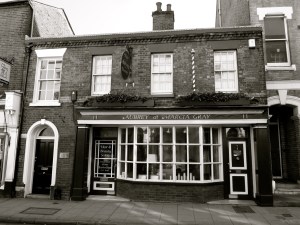
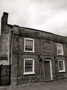
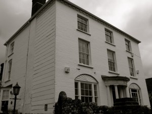
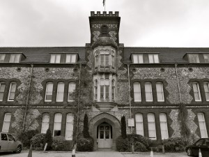
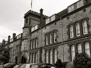
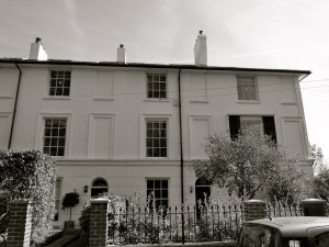
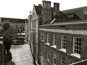
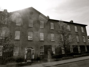
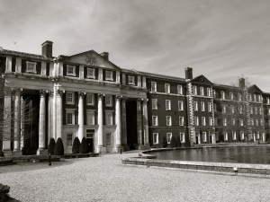
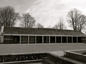
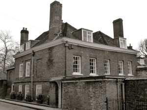
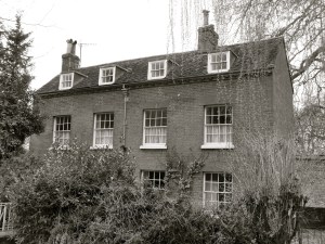
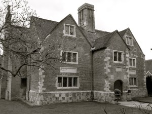
 College St Petersfield C19")


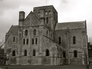
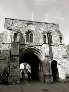
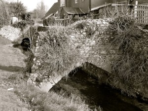
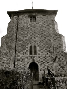
 C12")


 (South) Winchester 1900")


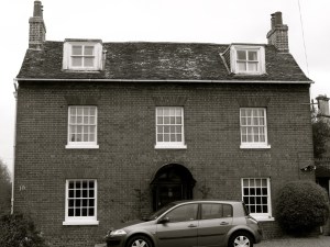
 Winchester C18")


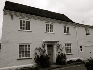
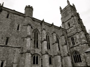
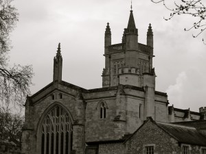
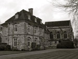
 1684 (Chapel C15)")
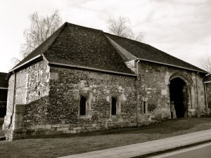
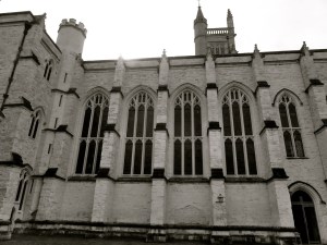
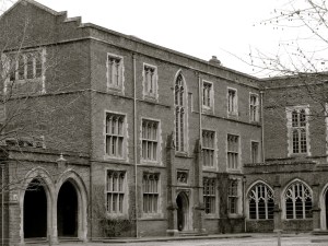
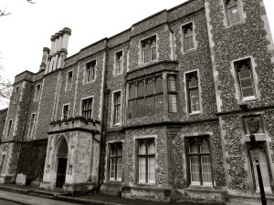
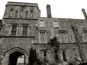
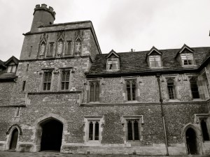
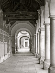
 Winchester College C14")


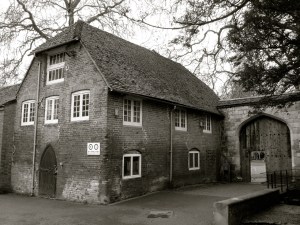


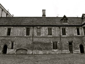


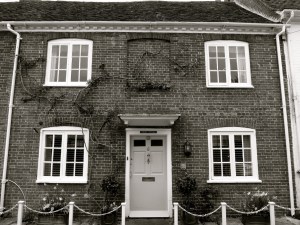
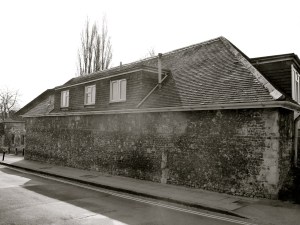
 Winchester C18")