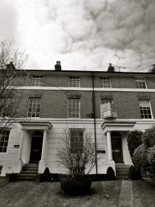
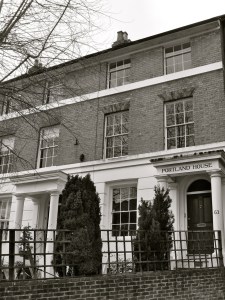
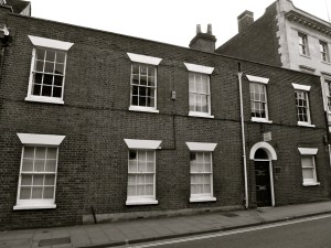
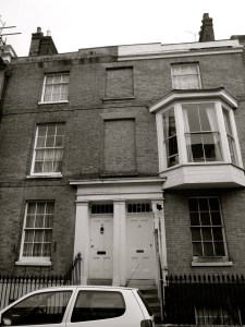
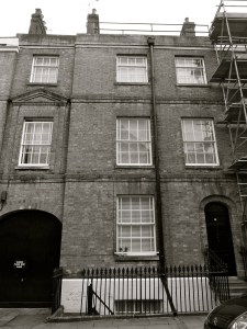
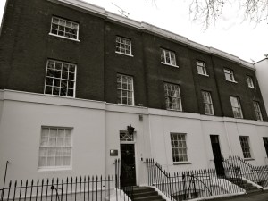
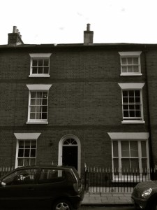
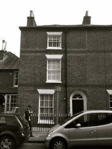
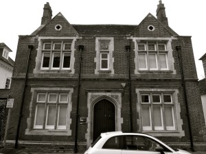
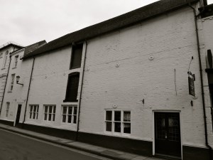
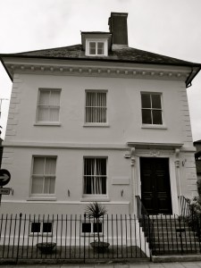
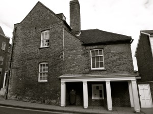
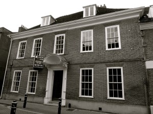
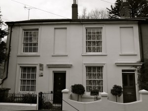
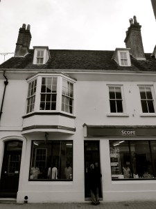
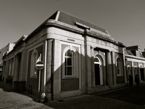
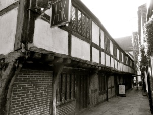
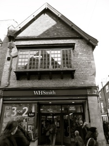
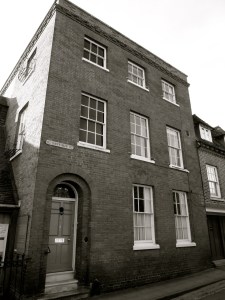
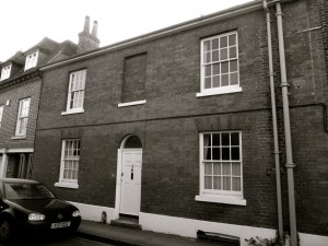
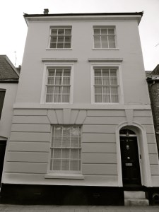
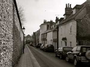
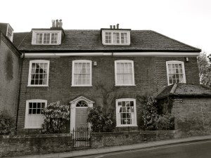
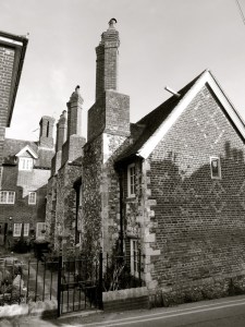
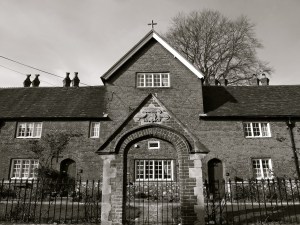
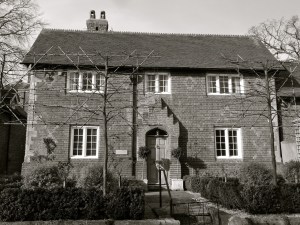
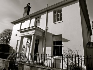
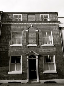
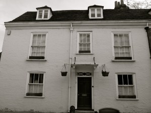
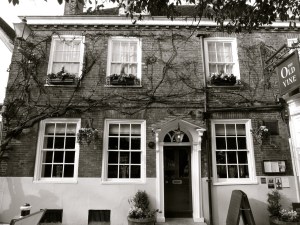
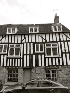
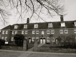
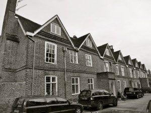
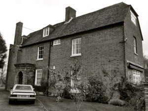
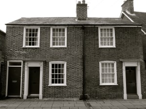
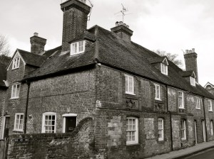
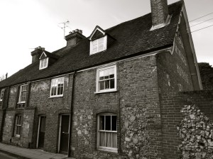
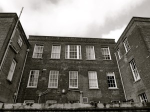
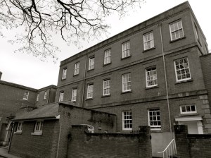
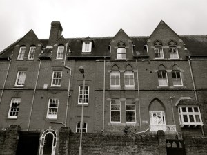
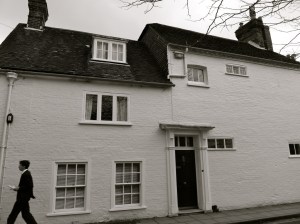
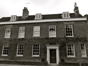
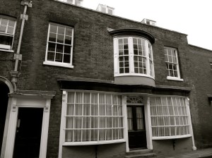
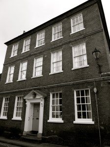
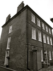
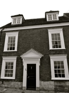
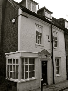
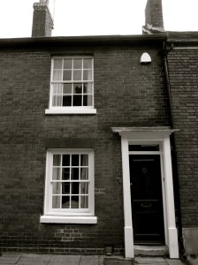
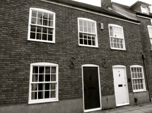
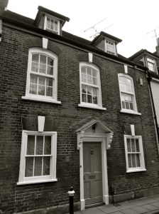
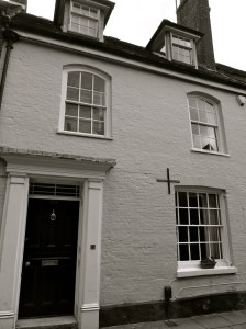
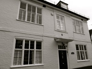
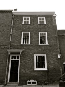
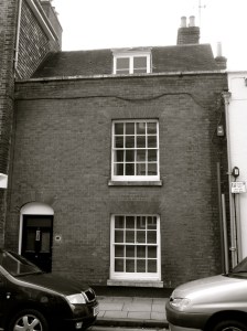
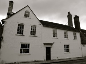
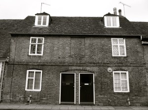
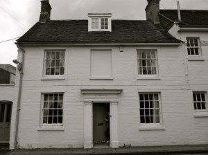
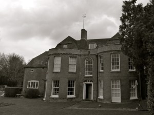
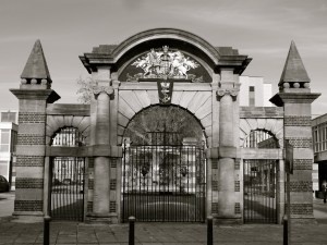
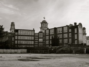
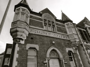
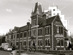
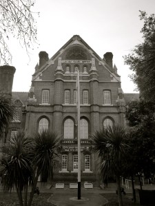
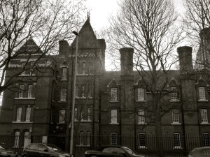
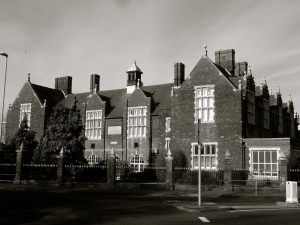
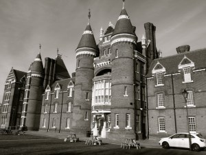
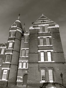
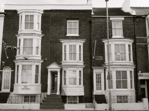
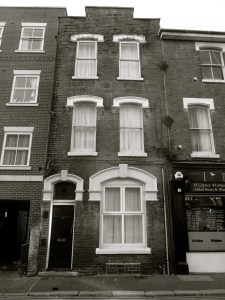
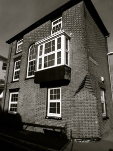
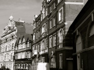
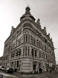
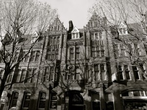
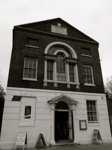
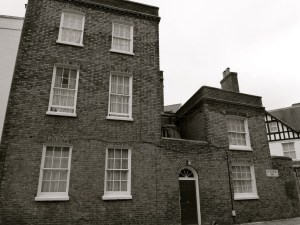
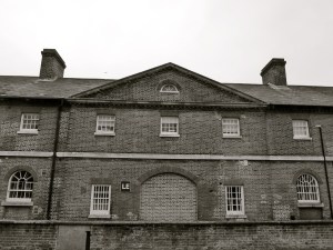
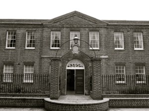
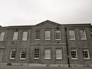
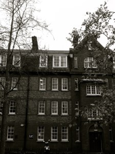
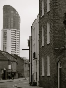
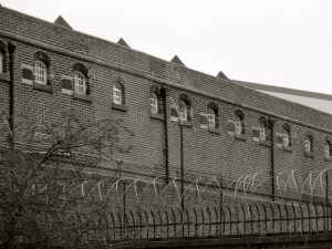
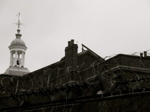
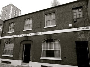
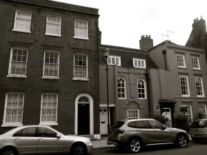
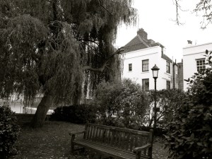
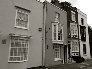
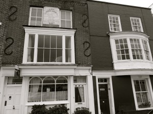
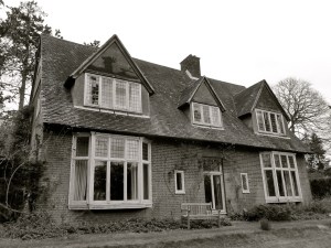
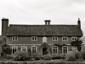
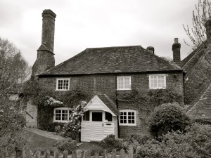
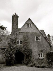
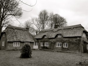
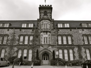
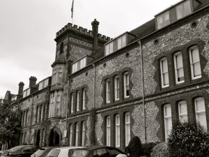
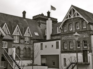
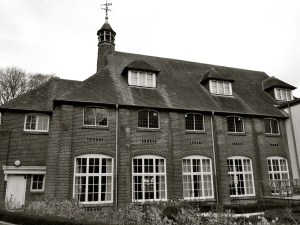
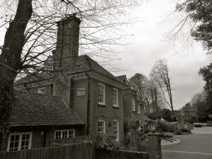
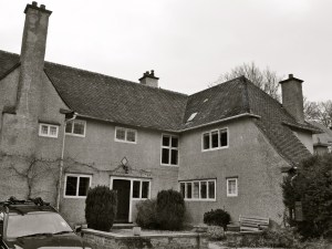
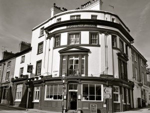
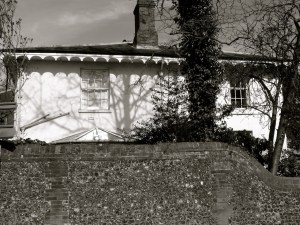
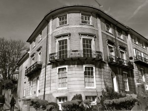
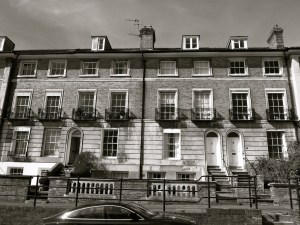
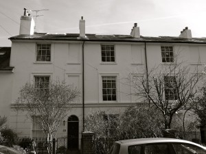
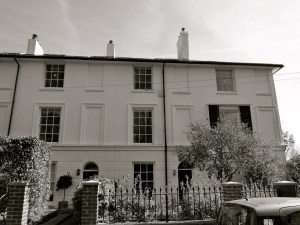
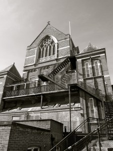
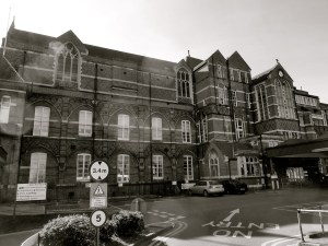
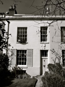
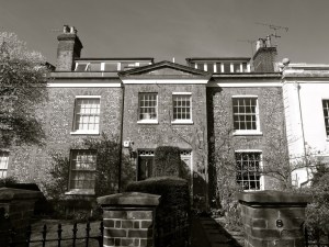
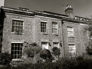
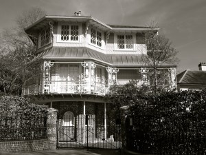
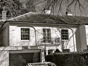
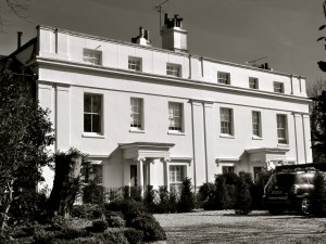
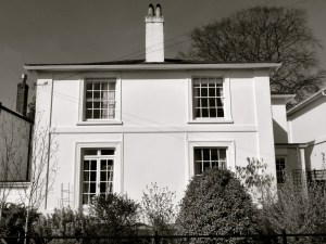
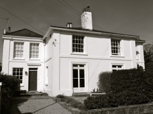
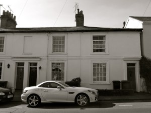
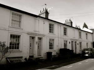
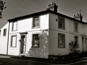
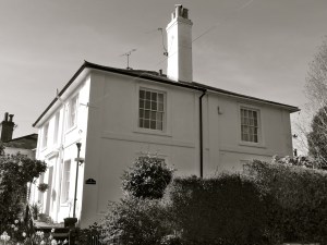
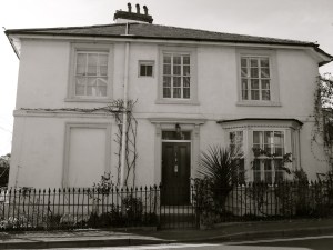
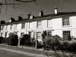
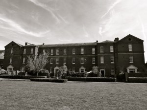
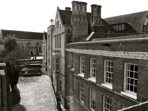
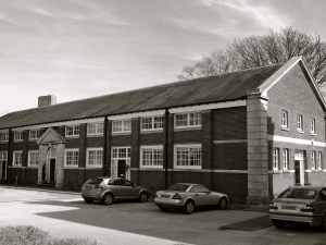
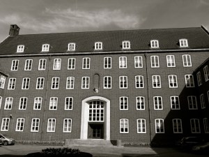
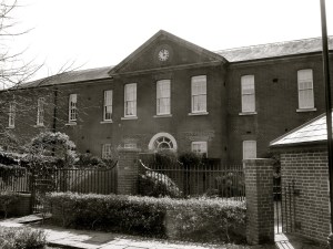
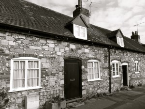
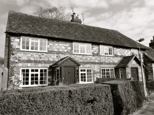
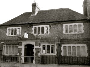
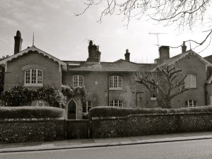
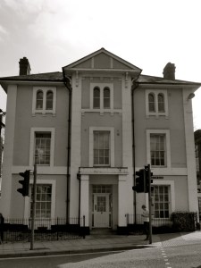
The final collection of listed buildings in Winchester. This set includes the urban eastern end of St James Lane, up onto West Hill, Romsey Road, then Stockbridge Road and Worthy Lane. In the C19 the wealthy of the city built villas and terraces up on the downs to the west, away from the diseases that were plaguing the lower areas. St James Lane is steep and leafy once it leaves St Cross Rd. St James Terrace runs alongside the railway. Further up are Clifton and West End Terraces. To the west are the hospital (note Butterfield Wing), prison, and the university which includes turn of the century (19-20) West Down School buildings. The northern outskirts include some thatched cottages and the old farmhouse of Abbotts Barton – C17 rural architecture in amongst the 70s housing estates.
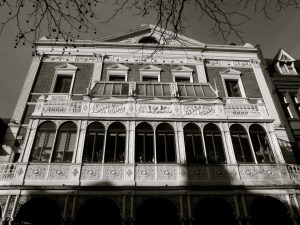
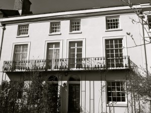
Favourites in this last set include St James Villas, The Pagoda House and Stapenhill. These are first in the photographs. Click for larger images.


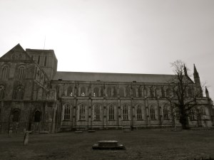
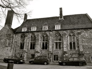
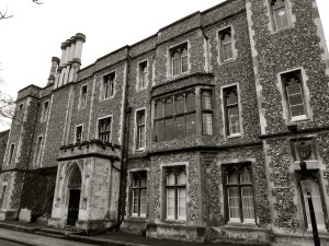
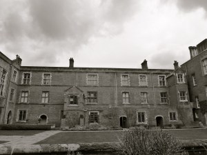
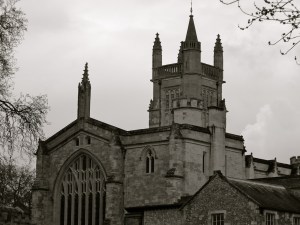
 (South) Winchester 1900")


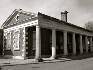


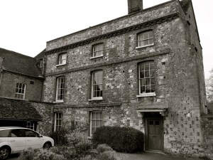
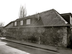
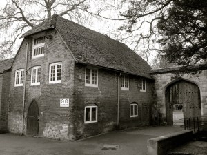
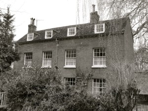
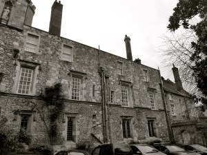
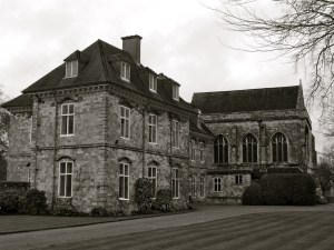
 Winchester C18")
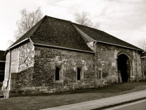


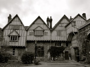
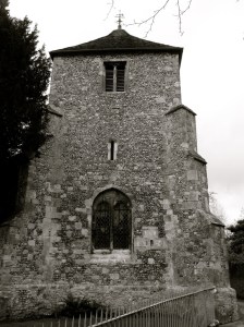
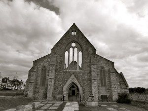
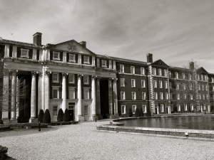
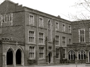
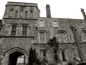
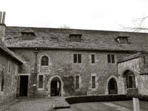
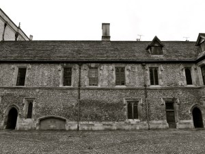
 1684 (Chapel C15)")
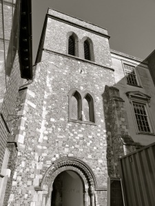
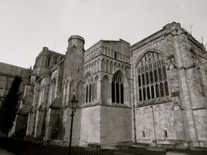
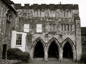
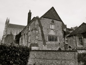
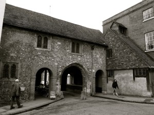
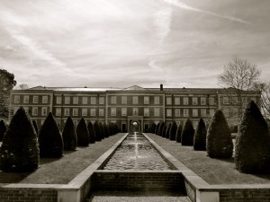
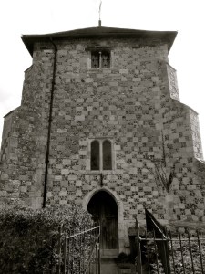
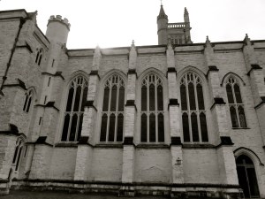
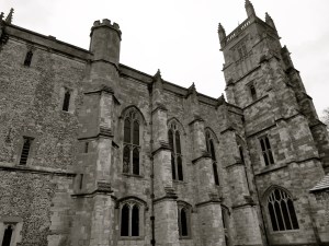
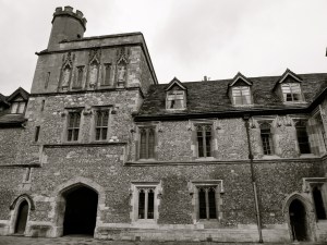
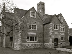
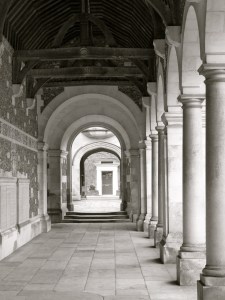
 Winchester College C14")


")